Lafayette River
- Saltwater
- Tidal river
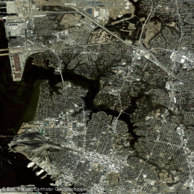
Lafayette River
- Saltwater
- Tidal river
- Sq. miles
- 2.5
- Boat Ramps
- 4
- Access Points
- 0
- Campsites
- 0
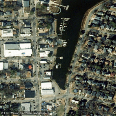
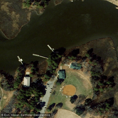
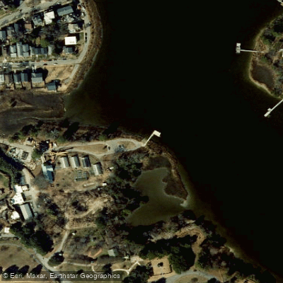
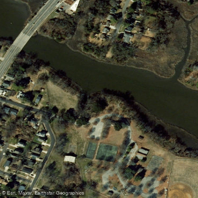
The Lafayette River is a 25-kilometer tidal river within the Elizabeth River system, flowing through Norfolk, Virginia. It offers calm urban waterways suitable for kayakers, canoeists, and stand-up paddleboarders of all skill levels. The river is characterized by its tidal creeks, protected coves, and views of Norfolk's waterfront landscape. Paddling access is primarily through a limited number of public launch points. The most recommended is the Haven Creek Boat Ramp on Delaware Avenue, which features a concrete ramp, a dock, and ample parking, though it can be busy on summer weekends. Another concrete ramp is located at the dead end of West 45th Street off Colley Avenue near Knitting Mill Creek, offering limited on-street parking but lighter use. A dedicated, handicap-accessible kayak launch is the Highland Park Veterans Kayak Launch off Colley Avenue, though it has no dedicated parking lot, only limited two-hour street parking. The LaVallette Avenue launch site next to the Virginia Zoo provides another access point, though historical concerns have been noted about leaving vehicles unattended in that area. Given the tidal nature of the river, paddlers should plan trips around tide stages, as currents will be present. The river sees boat traffic, and paddlers should be cautious of wakes, especially when launching from concrete steps or seawalls. Wildlife such as herons and ospreys can be observed along the route.
Water access, boat ramps & amenities
Learn how to get on Lafayette River. Uncover great paddling access points, boat ramps, and all the facilities you need for an unforgettable day on the water. Some locations shown may border or include private property. Always check property boundaries and applicable regulations before visiting. PaddleWays's Public & Private Land layer can help you plan your access with confidence.
Paddle smarter with real-time insights
Whether you're en route and conditions shift or you're looking for the best spot based on current flows, we enable you to make informed decisions on the fly.








Find Places to Paddle

Over 400,000 Places to Paddle
Every user gets free access to launch points, boat ramps, and public property parcels.


Tides, wind & water conditions (10 day forecast)
On open water, wind and tide matter as much as the weather. See the best times to paddle Lafayette River and check the marine forecast before you launch.
Loading tide predictions…
Paddling near Lafayette River

James River
Hampton Roads

Rappahannock River
Little Creek Reservoir
Horseshoe
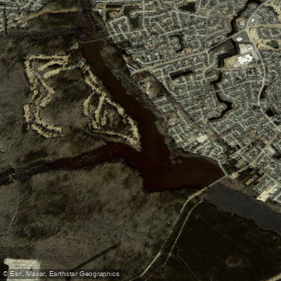
Stumpy Lake
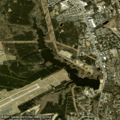
Harwoods Mill Reservoir
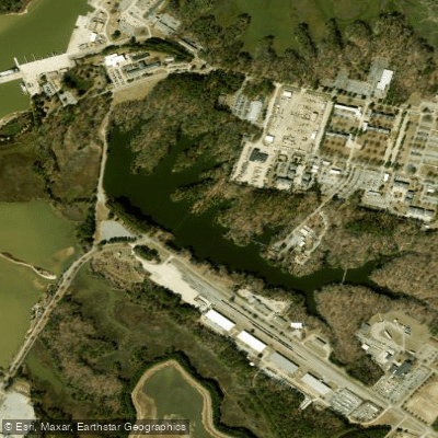
Eustis Lake
Explore Virginia waters
Top paddling waters
Popular Cities
Loading popular cities...
Explore near Lafayette River
Access points
Nearby waters
More in Virginia

Smarter Paddling Starts in the App.
Paddleways gives you everything you need to plan smarter, paddle better, and own every trip from first launch to takeout.