Hampton Roads
- Saltwater
- Bay
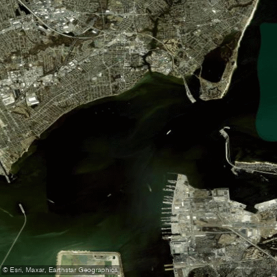
Hampton Roads
- Saltwater
- Bay
- Sq. miles
- 16
- Boat Ramps
- 0
- Access Points
- 0
- Campsites
- 0
Hampton Roads is a major tidal estuary and harbor in southeastern Virginia, forming the confluence of the James, Nansemond, and Elizabeth Rivers before opening into the southern Chesapeake Bay. The area offers numerous urban and semi-urban paddling opportunities across its network of tidal creeks, rivers, and sheltered bays. Public access is facilitated by a variety of dedicated launches, including the wheelchair-accessible Highland Park Veterans Kayak Launch in Norfolk, which provides a designated non-motorized entry point to the Lafayette River and broader Hampton Roads waterways. Other notable access points include a kayak launch underneath the Interstate 64 bridge on Pembroke Avenue in downtown Hampton. For paddlers without their own gear, Virginia Beach Parks & Recreation offers convenient kayak rental kiosks at several locations including Stumpy Lake Natural Area, Munden Point Park, and Lake Lawson/Lake Smith Natural Area, operating on a first-come, first-served basis via a smartphone app.
The paddling environment is predominantly tidal and saltwater, with conditions heavily influenced by wind, tide, and commercial and recreational boat traffic common in the main channels. Paddlers should plan routes carefully, considering tidal currents for efficient travel and being prepared for potential wakes and vessel crossings. Launch facilities vary; for example, the Highland Park launch has no dedicated parking lot, only limited two-hour street parking nearby, which can require carrying gear a short distance. The area includes a mix of developed waterfronts and natural areas, such as the extensive Newport News Park, which spans over 7,500 acres at the north end of Newport News. Waterways like Newmarket Creek offer paddle trails that hug the shoreline, and launches like the one at Bluebird Gap Farm have specific operating hours tied to park schedules. Given the urban setting, water quality can vary. Paddling is suitable for various skill levels, though beginners are advised to stick to protected creeks and lakes, check weather conditions thoroughly before departure, and always wear a provided life jacket.
Water access, boat ramps & amenities
Learn how to get on Hampton Roads. Uncover great paddling access points, boat ramps, and all the facilities you need for an unforgettable day on the water. Some locations shown may border or include private property. Always check property boundaries and applicable regulations before visiting. PaddleWays's Public & Private Land layer can help you plan your access with confidence.
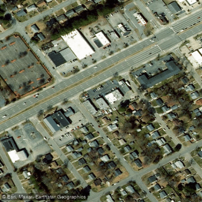
Paddle smarter with real-time insights
Whether you're en route and conditions shift or you're looking for the best spot based on current flows, we enable you to make informed decisions on the fly.








Find Places to Paddle

Over 400,000 Places to Paddle
Every user gets free access to launch points, boat ramps, and public property parcels.


Tides, wind & water conditions (10 day forecast)
On open water, wind and tide matter as much as the weather. See the best times to paddle Hampton Roads and check the marine forecast before you launch.
Loading tide predictions…
Paddling near Hampton Roads

James River
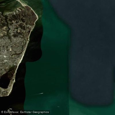
Horseshoe

Rappahannock River
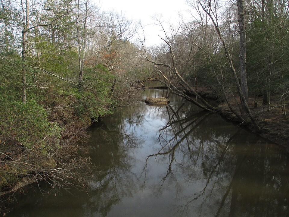
Mattaponi River
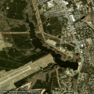
Harwoods Mill Reservoir
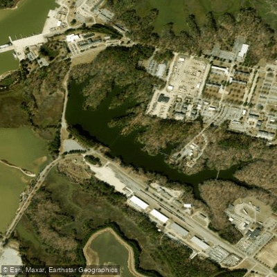
Eustis Lake
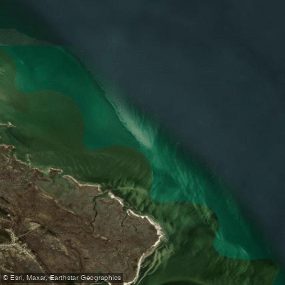
Drum Island Flats
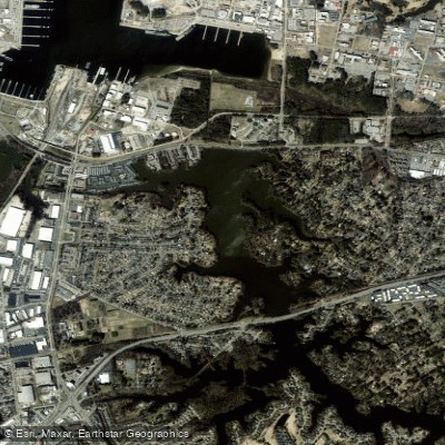
Little Creek Reservoir
Explore Virginia waters
Top paddling waters
Popular Cities
Loading popular cities...
Explore near Hampton Roads

Smarter Paddling Starts in the App.
Paddleways gives you everything you need to plan smarter, paddle better, and own every trip from first launch to takeout.