Porth Clais Harbour
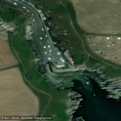
Porth Clais Harbour
Porth Clais Harbour sits at the mouth of the River Alun on the south-western tip of the St Davids Peninsula in Pembrokeshire.
The narrow inlet was carved by glacial meltwater around 7,000 years ago and has served as a working port since at least 1385, when it first appears in records relating to building works at St Davids Cathedral.
Goods including limestone, grain, and timber were once landed here, and pilgrims would come ashore to walk to the cathedral shrine. Disused lime kilns remain as evidence of that industrial past.
Today the harbour is a popular access point for kayakers, small boat owners, and walkers joining the Pembrokeshire Coast Path, which runs along both sides of the inlet. At low tide a shingle and sand beach is revealed behind the breakwater.
The site is managed in part by the National Trust, which has cared for the harbour and surrounding land since 1940.
Nearby points of interest
Find excellent paddling spots, easy access to boat ramps, and all the amenities you need for a memorable day. Your adventure starts here.
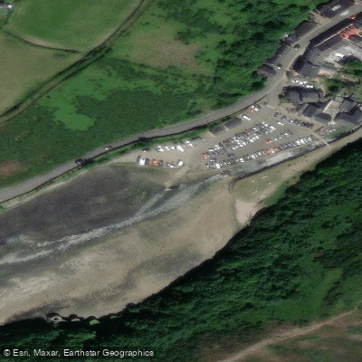
Water and weather conditions (10 day forecast)
Check the forecast at Porth Clais Harbour before you go paddling.
No forecast data available.
Paddling near Porth Clais Harbour
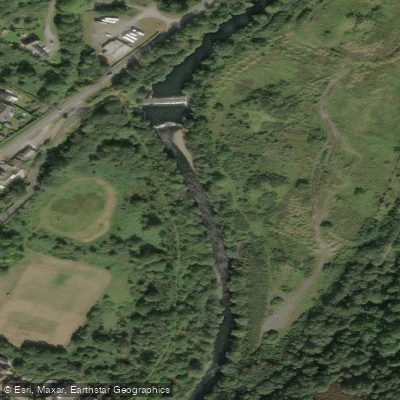
Afon Tawe
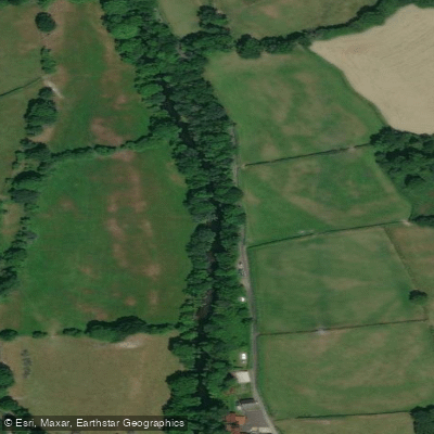
Afon Tywi
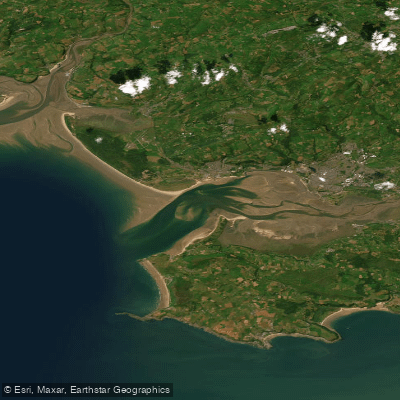
Burry Inlet Outer
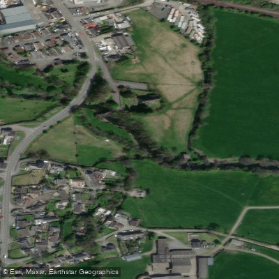
River Taf
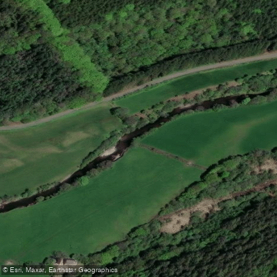
Afon Cothi

Bristol Channel
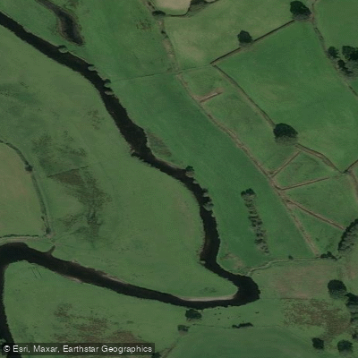
Afon Teifi
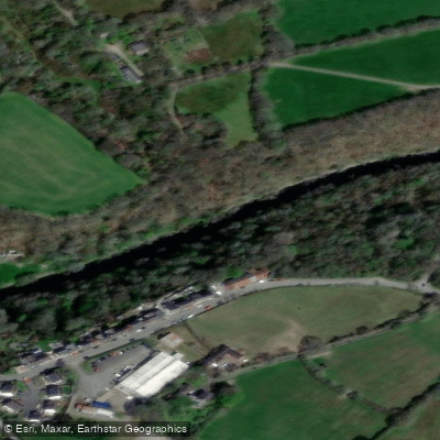
Afon Teifi
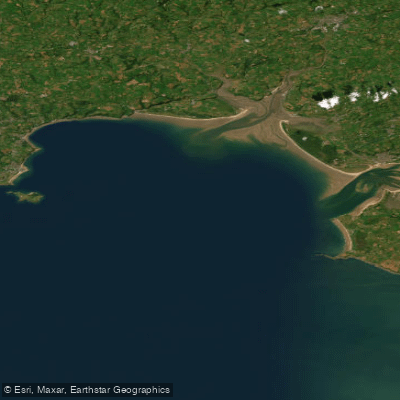
Carmarthen Bay
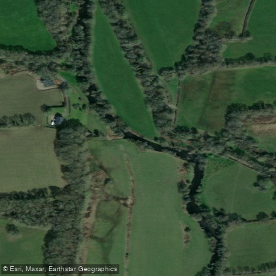
Eastern Cleddau
Wales licenses and regulations
Explore Wales waters
Top paddling waters
No waters available right now.
Popular Cities
Loading popular cities...
Explore near Porth Clais Harbour
Nearby spots
Nearby waters
More in Wales

Smarter Paddling Starts in the App.
Paddleways gives you everything you need to plan smarter, paddle better, and own every trip from first launch to takeout.