Curated by PaddleWays
RouteFlatwater
- Distance
- 8 mi
- Paddle time
- ~2.5 hrs
- Put-in → take-out
- Littlerock Boat Ramp → Gate Boat Ramp
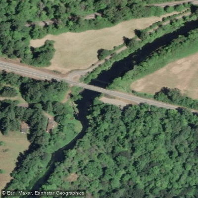
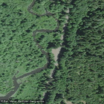
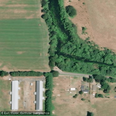
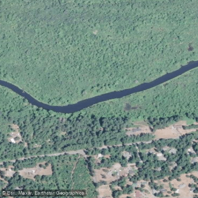
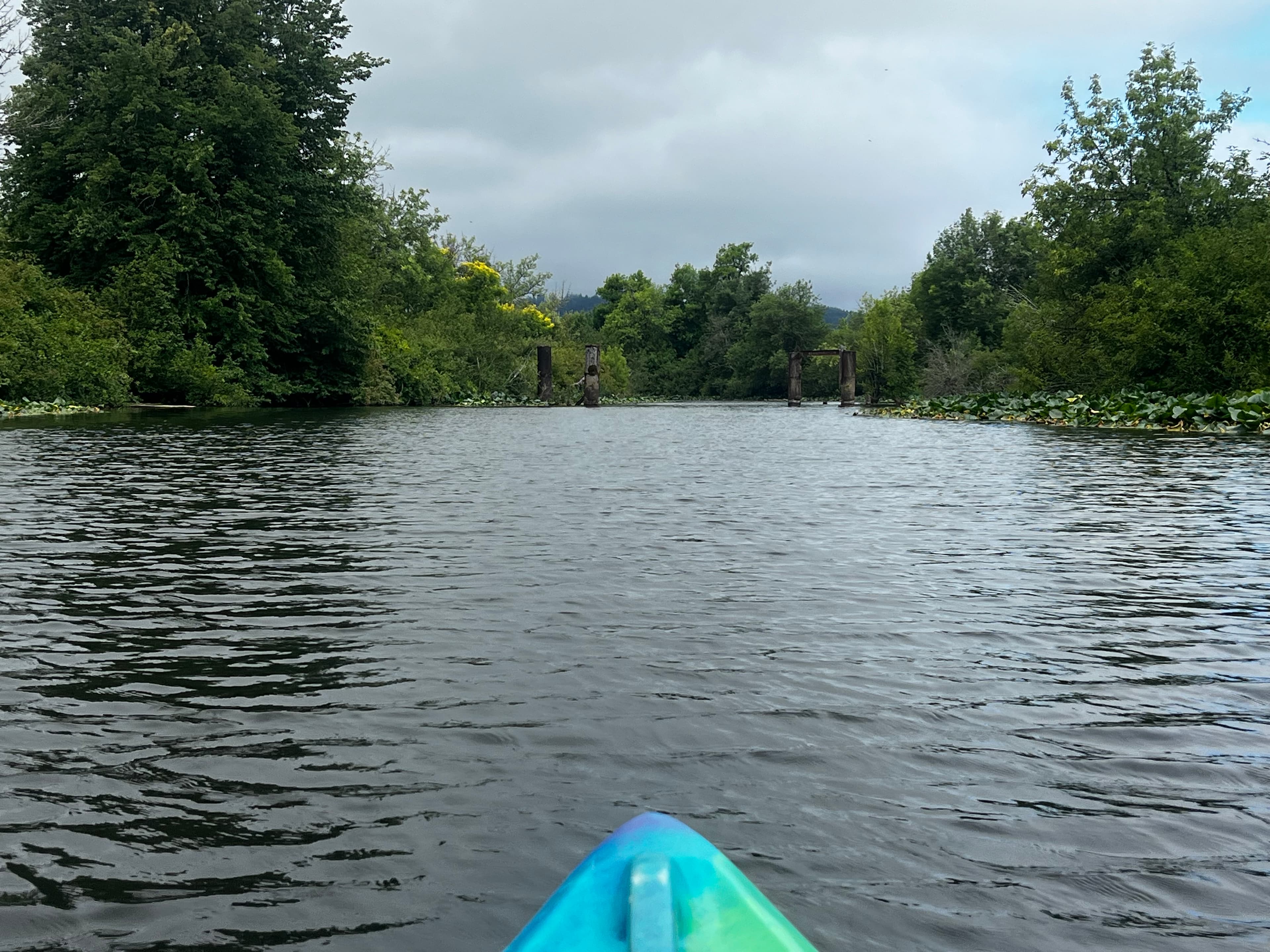
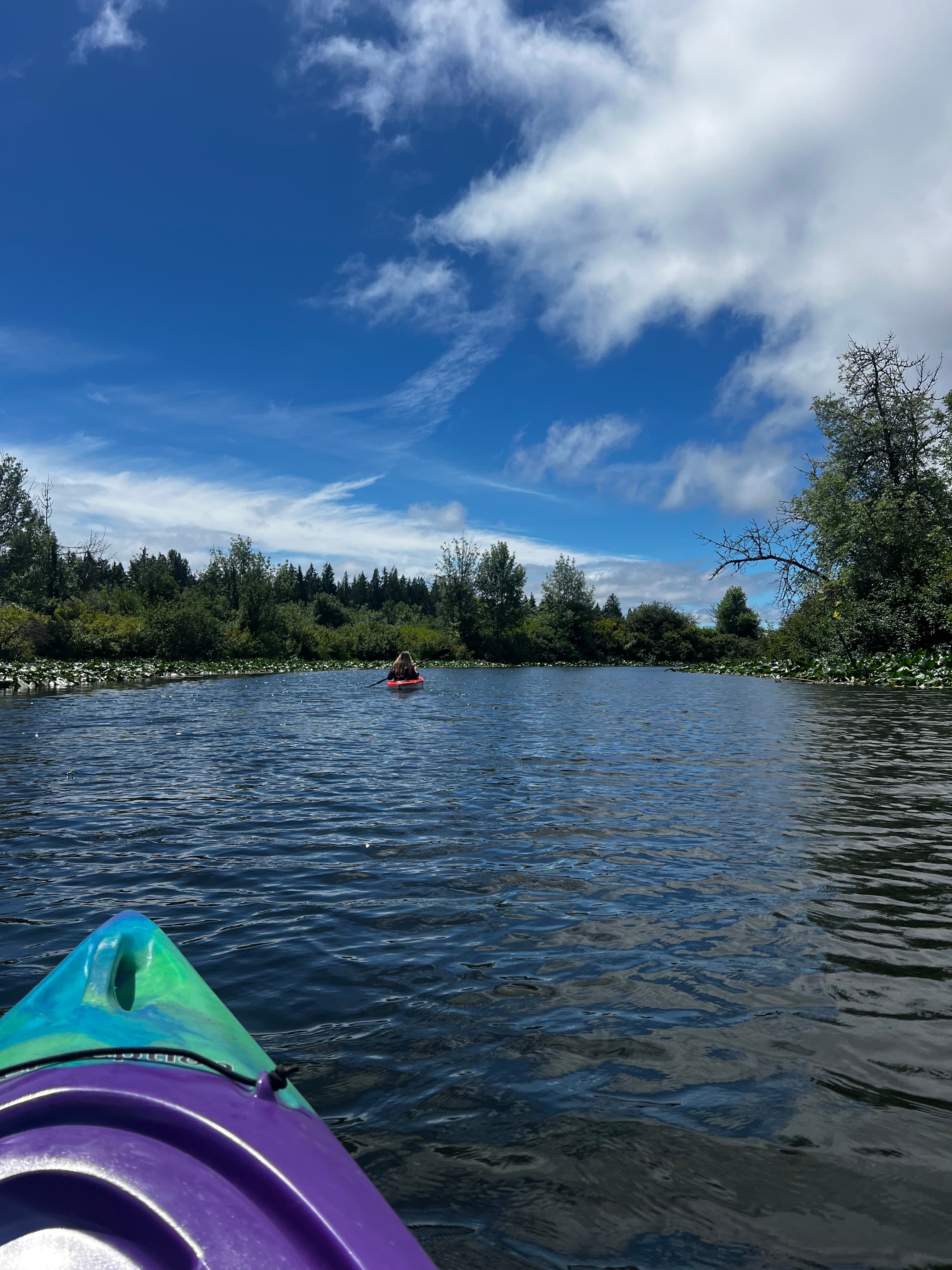
The Black River flows through Thurston and Grays Harbor counties in Washington, originating from Black Lake near Tumwater at approximately 131 feet elevation and traveling roughly 30 miles southwest to its confluence with the Chehalis River near Oakville. This low-gradient, meandering waterway moves through one of the largest remaining relatively undisturbed freshwater wetland systems in the Puget Sound region, characterized by its tannin-stained, slow-moving water and minimal silt content.
Paddling opportunities on the Black River cater primarily to beginners and families seeking leisurely floats. The most popular section runs from the Black River Boat Ramp off School Land Road SW near Littlerock/Rochester to the Oakville #1 Black River Boat Launch off US-12, covering approximately 9 miles. This stretch features no rapids and requires minimal technical skill, though shallow conditions—particularly in late summer—may necessitate occasional portaging or dragging watercraft. Plastic kayaks and canoes are recommended over fiberglass due to bottom-scraping potential. The river's calm current allows for bidirectional paddling, and trips typically range from 3-4 hours at a relaxed pace to full-day excursions with extended wildlife observation stops.
The Black River ecosystem supports exceptional biodiversity. Paddlers regularly encounter great blue herons, American bitterns, green-backed herons, kingfishers, cedar waxwings, bald eagles, and osprey families. The river provides critical habitat for the federally threatened Oregon spotted frog—one of only six known locations in Washington State—and the state-endemic Olympic mudminnow. Beaver activity is common, and the riparian corridor features palustrine forested wetlands, scrub-shrub zones, and emergent marshes with native wildflowers blooming in spring and aromatic mint patches along the banks.
Access points include the Black River Boat Ramp near Rochester and the Oakville #1 launch, both requiring a Washington State Discover Pass. Neither facility offers restroom amenities. The river flows through the Black River Unit of the Billy Frank Jr. Nisqually National Wildlife Refuge and the Black River Natural Area, with approximately 2,200 acres under federal protection.
Historically, the Black River served as a transportation route for Native Americans and the Hudson's Bay Company, functioning as a shortcut between the Columbia River and Puget Sound. The area was designated by the U.S. Fish and Wildlife Service in 1980 as unique fish and wildlife habitat worthy of protection.
Paddlers should note that fishing is permitted with proper licensing for species including Chinook, coho, and chum salmon, steelhead, and cutthroat trout. Insect repellent is essential during warmer months. The river's shallow depth and numerous obstructions above and below the waterline require careful navigation, though the absence of strong currents makes this a forgiving environment for novice paddlers.
Curated routes
Hand-picked by the PaddleWays team, with put-ins, take-outs, paddle times and the hazards along the way.
RouteFlatwater
RouteFlatwater
Hazards
No hazards are marked on Black River yet. That is not the same as none being there: if you find one, report it for the next paddler.
From the community
Real trips from PaddleWays paddlers: which route they ran, how the flows were, and what to watch for.
Loading trip reports
Ruby H.
Littlerock Road to Highway 12 Bridge
Little to no current, too shallow with several dozen sandbars, dense aquatic vegetation
Heidi S.
A few beaver dams with sections that are hard to get over. Wouldn’t choose this route again, as not to disturb the wildlife.
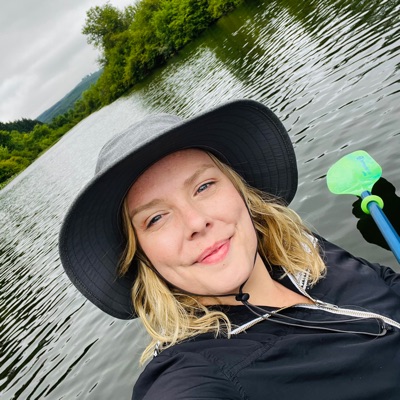
Angie
Kayak •
Littlerock Boat Ramp to Gate Boat Ramp
See exactly where the public can get on and off the river. Launch points and boat ramps are paired with PaddleWays' public land data so you know where you can legally land.
Public shoreline
4%of the river's shoreline is public
Most of the riverbank is private. Launch, land and camp only at public access points.
Flows, weather and a route-by-route verdict, so you know which stretch of the Black River is worth paddling today.
Live flows, marked hazards and fresh trip reports from paddlers who were just on the water, all in one place.





Every user gets free access to launch points, boat ramps, and public property parcels.
Loading popular cities...
PaddleWays gives you everything you need to plan smarter, paddle better, and own every trip from first launch to takeout.