Cispus River
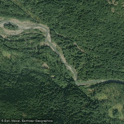
Cispus River
- Boat Ramps
- 3
- Access Points
- 3
- Campsites
- 11
The Cispus River originates in the high glacial valleys of the Goat Rocks Wilderness within the Gifford Pinchot National Forest, flowing approximately 54 miles through Lewis and extreme northeast Skamania counties before joining the Cowlitz River at Lake Scanewa. Beginning near Snowgrass Flats at elevations exceeding 5,000 feet, the river follows a looped, southwesterly course through heavily forested terrain, draining much of south-central and southeastern Lewis County.
Major tributaries significantly shape the Cispus character. About 40 miles from its mouth, Muddy Fork enters from the left, carrying glacial debris from Mount Adams' Lava Glacier that gives the water its characteristic turbid appearance. Canyon Creek, originating high on Mount Adams' slopes, contributes substantial volume, as does the North Fork Cispus, which joins the main stem about 20 miles from the headwaters. Yellowjacket and McCoy Creeks enter from the south in the middle reaches, while Walupt Creek feeds the upper watershed.
The river corridor bears evidence of the early 20th-century Cispus Burn, which consumed most of the lower drainage's original forest. Regrowth now includes Douglas fir stands with trees reaching 600 years old in certain areas near Randle, alongside alder, cedar, hemlock, and maple. The watershed contains hundreds of culturally modified "basket trees" where indigenous peoples harvested bark for container-making.
Archaeological sites, including the Yuyutla location near Randle and Layser Cave, document thousands of years of use by the Upper Cowlitz (cispaclama) and other Native groups for tool-making, hunting, and seasonal camps. Tower Rock, a prominent quartz diorite monolith, marks a distinctive landmark along the southern bank in the middle reaches.
Downstream, the river transitions from Gifford Pinchot National Forest into the Weyerhaeuser Cowlitz Tree Farm before reaching its terminus at Lake Scanewa, just upstream from Cowlitz Falls and the flooded townsite of Kosmos.
Access to the upper river follows Highway 12 to Randle, then State Route 131 south to Forest Road 23, with Forest Road 21 paralleling much of the upper watershed. The Lewis County PUD kayak launch, marked with posted signs approximately 1.5 miles upstream from the Cowlitz confluence, serves as the official river mouth boundary. Cowlitz Falls Park provides day-use facilities near the confluence.
Fishing opportunities include brook trout in the upper reaches, with best conditions during summer and fall. A USGS stream flow monitoring station provides real-time data. The river supports whitewater rafting in certain sections, though specific run details vary with seasonal flows and forest access conditions.
Water access, boat ramps & amenities
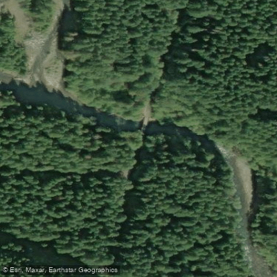
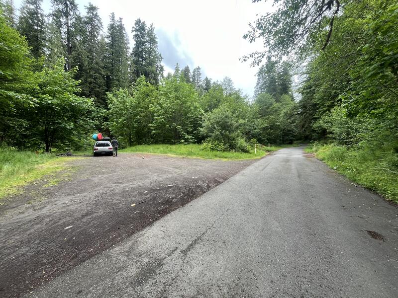
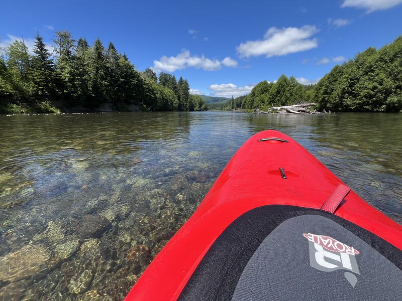
Learn how to get on Cispus River. Uncover great paddling access points, boat ramps, and all the facilities you need for an unforgettable day on the water. Some locations shown may border or include private property. Always check property boundaries and applicable regulations before visiting. PaddleWays's Public & Private Land layer can help you plan your access with confidence.
Paddle smarter with real-time insights
Whether you're en route and conditions shift or you're looking for the best spot based on current flows, we enable you to make informed decisions on the fly.








Find Places to Paddle

Over 400,000 Places to Paddle
Every user gets free access to launch points, boat ramps, and public property parcels.


Water and weather conditions (10 day forecast)
See the best times to paddle Cispus River and check the forecast before you go.
CISPUS RIVER AB YELLOWJACKET CREEK NEAR RANDLE, WA
Paddling near Cispus River
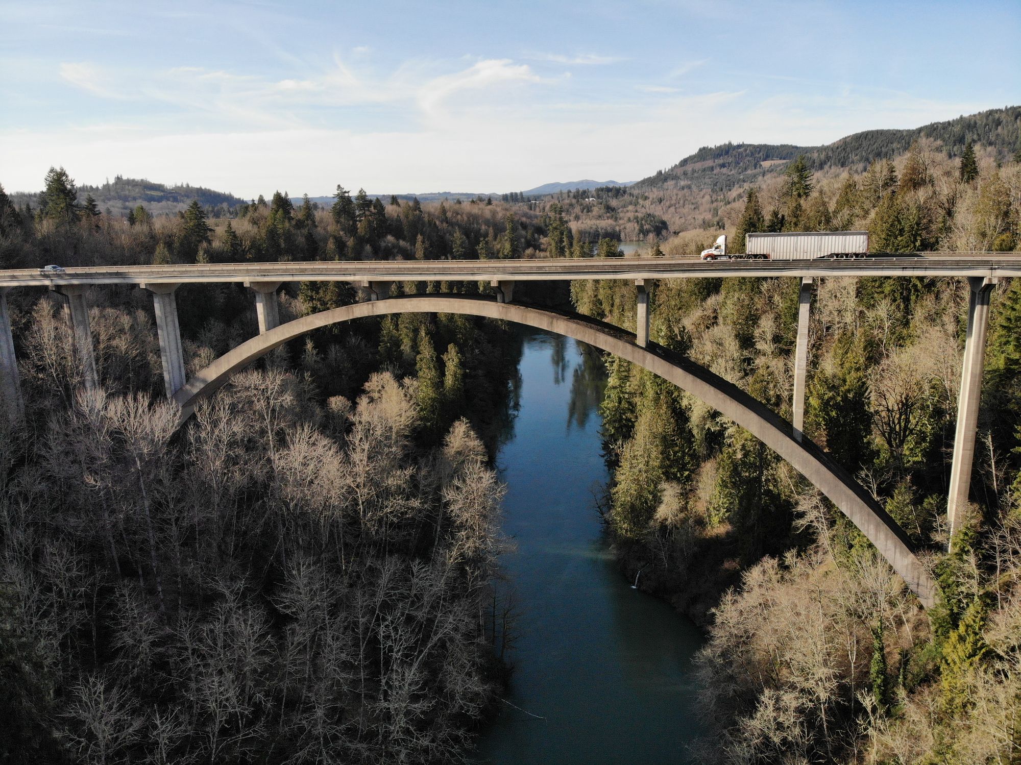
Cowlitz River
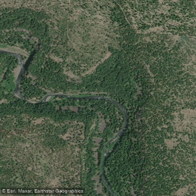
Klickitat River
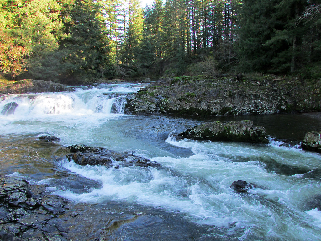
Lewis River
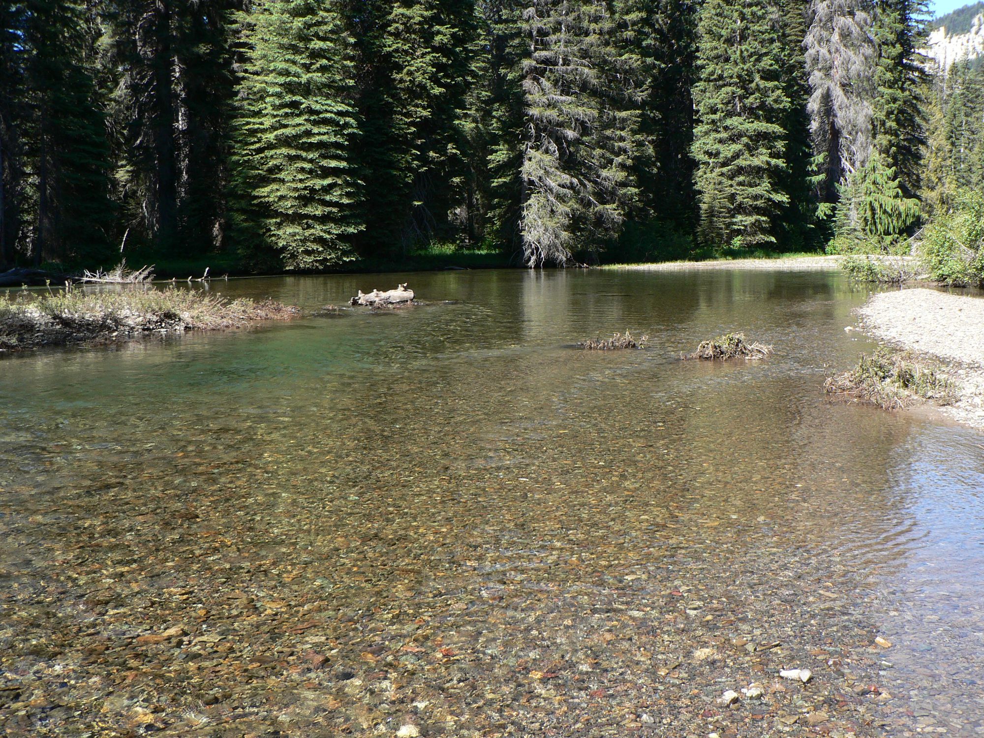
American River
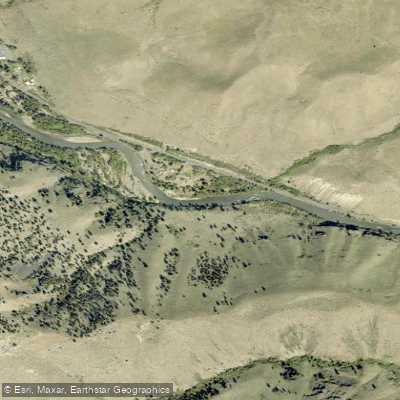
Naches River
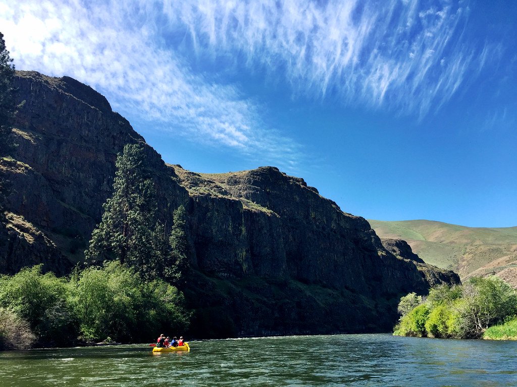
Yakima River
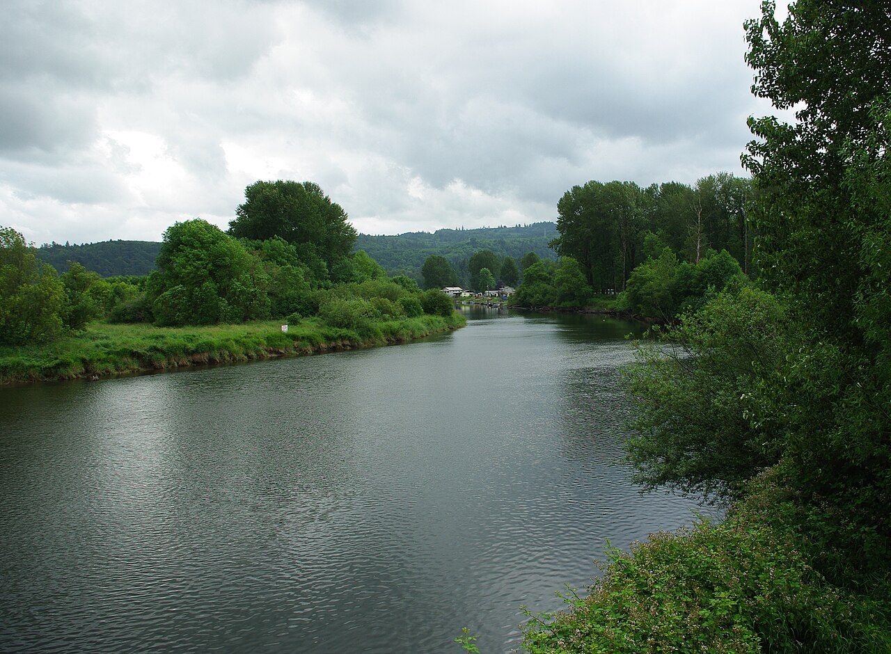
Kalama River
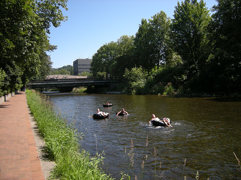
Cedar River
Nisqually River
Explore Washington waters
Top paddling waters
Popular Cities
Loading popular cities...
Explore near Cispus River
Access points
Nearby waters
More in Washington

Smarter Paddling Starts in the App.
Paddleways gives you everything you need to plan smarter, paddle better, and own every trip from first launch to takeout.