Lewis River
Lewis River
- Boat Ramps
- 4
- Access Points
- 10
- Campsites
- 15
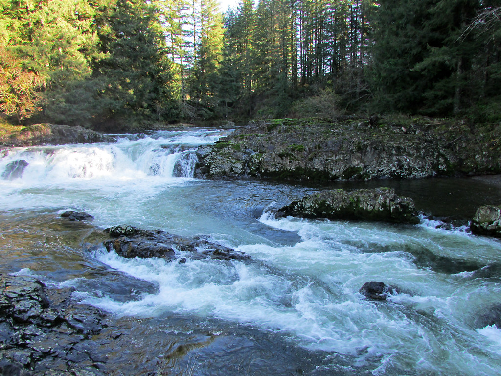
The Lewis River is a significant waterway in southwest Washington, originating in the Cascade Range and flowing westward to join the Columbia River. This 95-mile river system consists of two main forks - the North Fork and the East Fork - which converge near the town of Woodland before continuing as the mainstem Lewis River.
The North Fork Lewis offers diverse paddling opportunities, from placid flatwater sections to challenging whitewater. The upper reaches feature Class III-IV rapids through a narrow canyon, including the notable Gunsight rapid with its 4-foot ledge drop. Downstream, three reservoirs - Swift, Yale, and Merwin - provide calm waters for flatwater paddling and fishing.
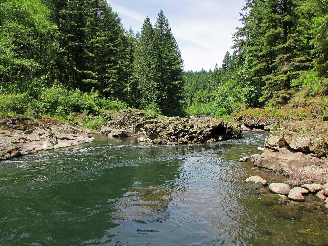
The East Fork Lewis River is renowned for its whitewater, particularly the 3-mile Middle Section from Sunset Falls to Horseshoe Falls. This Class III-IV run is a Pacific Northwest classic, featuring scenic waterfalls and challenging rapids like Sky Pilot, Screaming Left, and Dragon's Back. The pool-drop nature makes it suitable for intermediate paddlers at lower flows, while high water significantly increases difficulty.
For a more leisurely experience, the Lewis River-Vancouver Lake Water Trail offers 32 miles of scenic paddling. This route connects Vancouver Lake, Lake River, and the North Fork Lewis River, passing through wildlife refuges, state parks, and diverse ecosystems.
The Lewis River's flow peaks in late spring with snowmelt, offering optimal whitewater conditions. Summer and early fall provide more stable, lower flows ideal for less experienced paddlers. Winter rains can create high, challenging conditions for experts.
Wildlife enthusiasts may spot bald eagles, ospreys, and various salmon species. The river corridor supports diverse flora, including Douglas fir, western red cedar, and big-leaf maple.
Key access points include Sunset Falls Recreation Site on the East Fork, and various put-ins along the North Fork, with the towns of Woodland and La Center serving as nearby hubs. Paradise Point State Park offers camping for multi-day trips.
Paddlers should be aware of woody debris, particularly on the upper sections, and cold water temperatures year-round. Some sections require portages around unrunnable falls or dam structures.
The Lewis River holds cultural significance for local Native American tribes and played a role in the region's logging history. Today, it serves as a vital resource for hydroelectric power, recreation, and wildlife habitat.
Water access, boat ramps & amenities
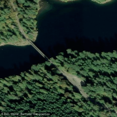
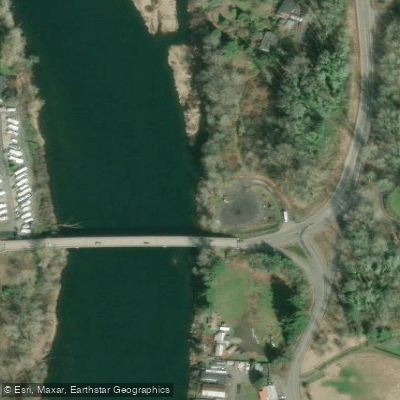
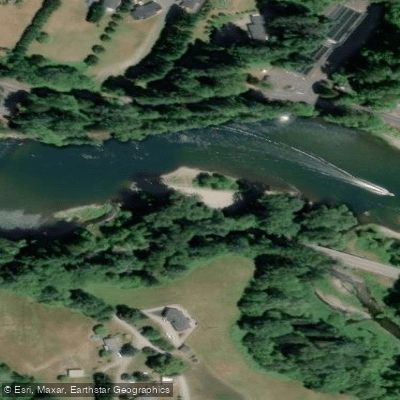
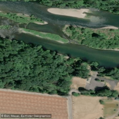
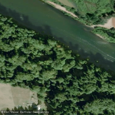
Learn how to get on Lewis River. Uncover great paddling access points, boat ramps, and all the facilities you need for an unforgettable day on the water. Some locations shown may border or include private property. Always check property boundaries and applicable regulations before visiting. PaddleWays's Public & Private Land layer can help you plan your access with confidence.
Paddle smarter with real-time insights
Whether you're en route and conditions shift or you're looking for the best spot based on current flows, we enable you to make informed decisions on the fly.








Find Places to Paddle

Over 400,000 Places to Paddle
Every user gets free access to launch points, boat ramps, and public property parcels.


Water and weather conditions (10 day forecast)
See the best times to paddle Lewis River and check the forecast before you go.
LEWIS RIVER ABOVE MUDDY RIVER NEAR COUGAR, WA
All Flow Stations
Paddling near Lewis River

Columbia River
East Fork Lewis River
Dibblees Beach
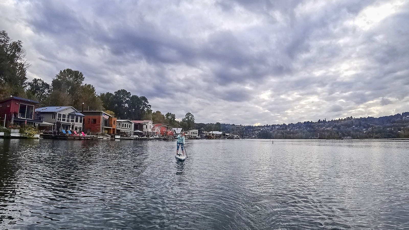
Willamette River
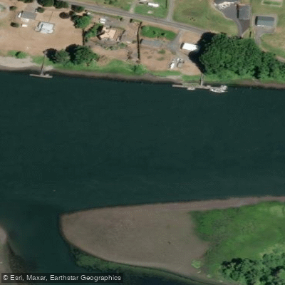
Fisher Island Slough
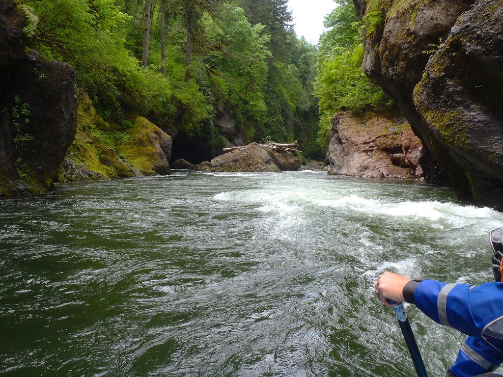
Sandy River
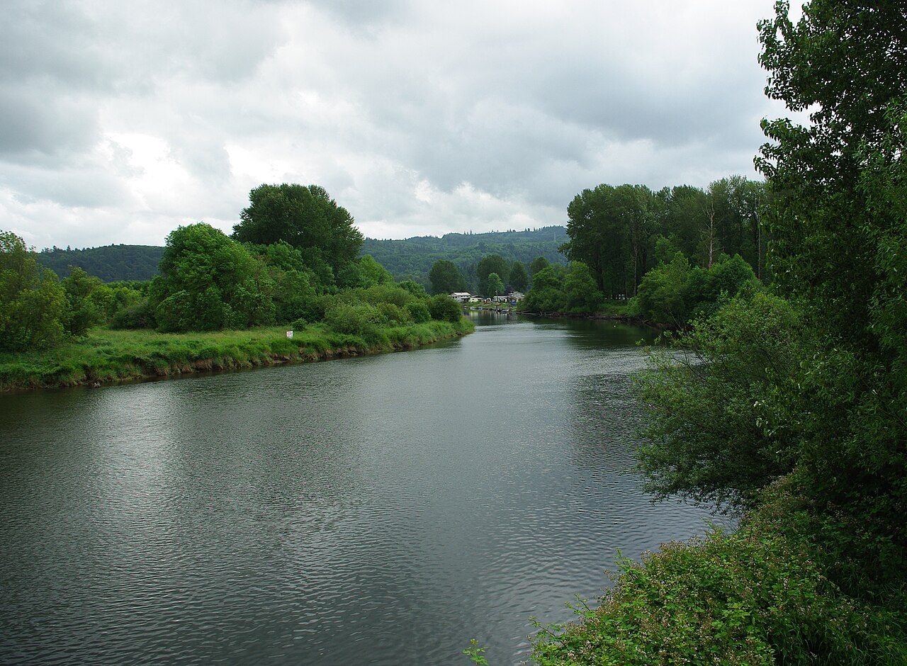
Kalama River
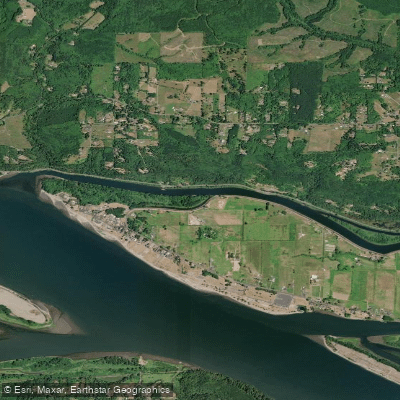
Coal Creek Slough
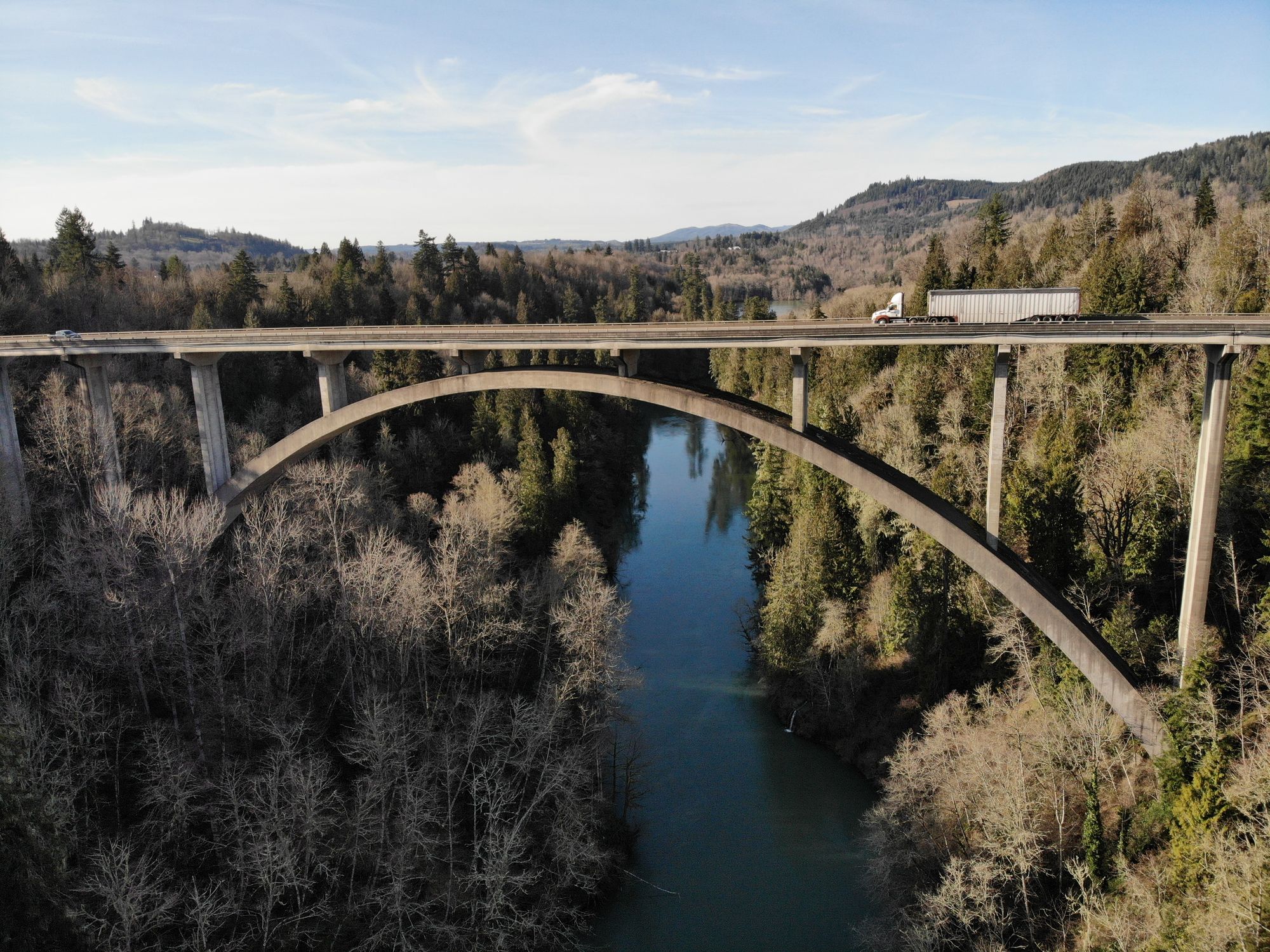
Cowlitz River
Explore Washington waters
Top paddling waters
Popular Cities
Loading popular cities...
Explore near Lewis River
Access points
Nearby waters
More in Washington

Smarter Paddling Starts in the App.
Paddleways gives you everything you need to plan smarter, paddle better, and own every trip from first launch to takeout.