Klickitat River
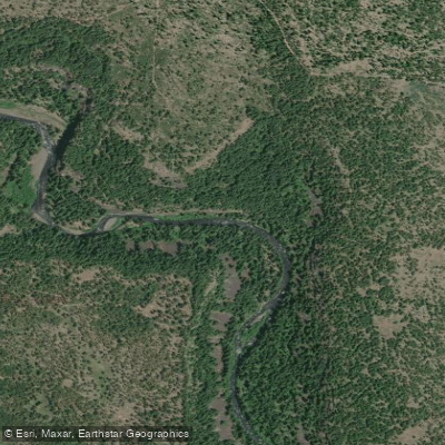
Klickitat River
- Boat Ramps
- 9
- Access Points
- 20
- Campsites
- 9
The Klickitat River is a waterway in south-central Washington state. Originating in the Cascade Range near Gilbert Peak, it flows south for approximately 95 miles before joining the Columbia River at the town of Lyle. Major tributaries include the Little Klickitat River, Summit Creek, and White Creek.
The Klickitat offers a range of paddling opportunities across several distinct sections. The upper reaches feature challenging Class II-III whitewater through a narrow canyon, with the popular Parrot's Crossing to Fish Hatchery run providing 8 miles of continuous rapids. Below the hatchery, the river widens and mellows, offering Class II-III rapids through a more open landscape down to Leidl Campground. The lower sections provide scenic Class II floating as the river approaches the Columbia. Overall difficulty ranges from Class II to V+, with the upper sections and Lyle Gorge requiring advanced whitewater skills. Most popular runs are suitable for intermediate paddlers comfortable with Class III rapids.
The river is typically run from April through July, with peak flows during spring snowmelt. Late summer and fall offer lower water suitable for beginners on easier sections.
The Klickitat flows through diverse ecosystems, transitioning from coniferous forests to oak and pine woodlands. Wildlife sightings may include deer, elk, osprey, and bald eagles. The river is renowned for its salmon and steelhead runs. Key landmarks include columnar basalt cliffs, Wonder Falls, and the historic Klickitat Trail paralleling much of the river.
Primary access points are at Parrot's Crossing, Klickitat Fish Hatchery, Leidl Campground, and various spots along Highway 142 near the towns of Klickitat and Lyle.
The river holds great cultural significance for local Native American tribes, particularly for traditional fishing practices. Today, it's valued for recreation, wildlife habitat, and as a designated Wild and Scenic River.
Safety considerations include swift currents, wood hazards, and limited cell coverage in the canyon sections. Permits are not required for private trips, but anglers need appropriate licenses. Multi-day trips are possible by combining upper and lower sections, with camping available at Leidl Campground and other designated sites. The full river offers an excellent 3-4 day wilderness float for experienced paddlers.
Water access, boat ramps & amenities
Learn how to get on Klickitat River. Uncover great paddling access points, boat ramps, and all the facilities you need for an unforgettable day on the water. Some locations shown may border or include private property. Always check property boundaries and applicable regulations before visiting. PaddleWays's Public & Private Land layer can help you plan your access with confidence.
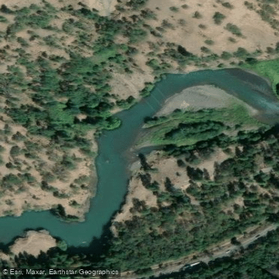
Klickitat County Park Fishing Access Site
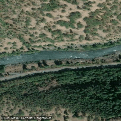
Fisher Hill Fishing Access Site
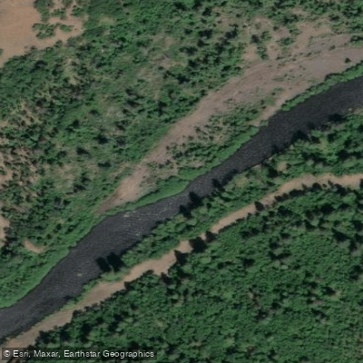
Stinson Flat Fishing Access Site
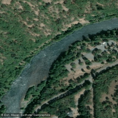
Turkey Hole Fishing Access Site
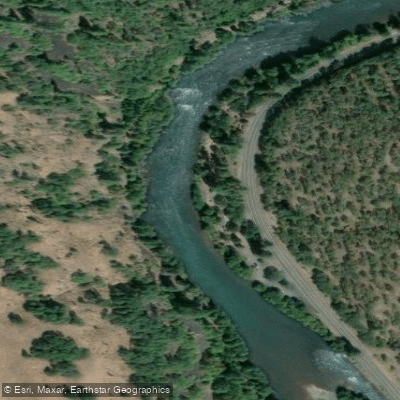
Dillacort Canyon Fishing Access Site
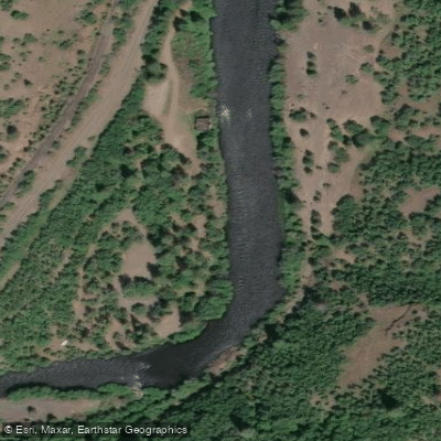
Mineral Springs Fishing Access Site
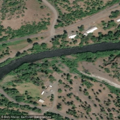
Swale Creek Access
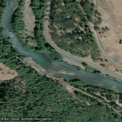
Route 142 Fishing Access Site
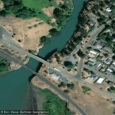
Lyle TH Fishing Access Site
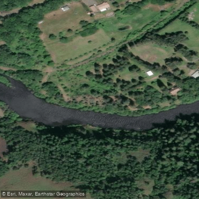
Mitchell Access
Paddle smarter with real-time insights
Whether you're en route and conditions shift or you're looking for the best spot based on current flows, we enable you to make informed decisions on the fly.








Find Places to Paddle

Over 400,000 Places to Paddle
Every user gets free access to launch points, boat ramps, and public property parcels.


Water and weather conditions (10 day forecast)
See the best times to paddle Klickitat River and check the forecast before you go.
KLICKITAT RIVER ABOVE WEST FORK NEAR GLENWOOD, WA
All Flow Stations
Paddling near Klickitat River
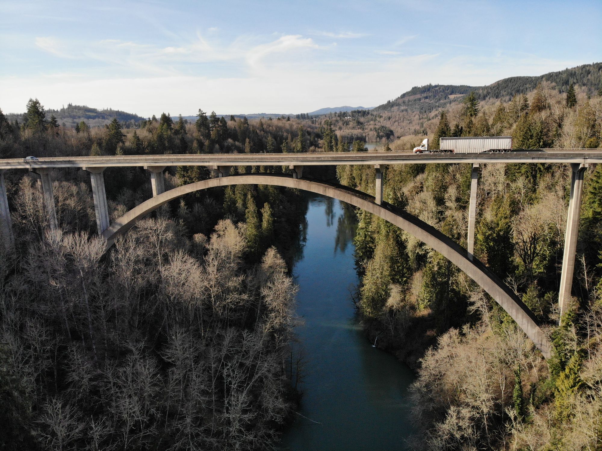
Cowlitz River
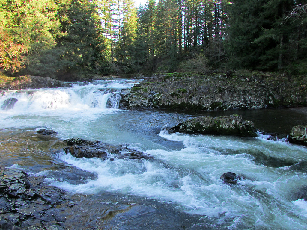
Lewis River
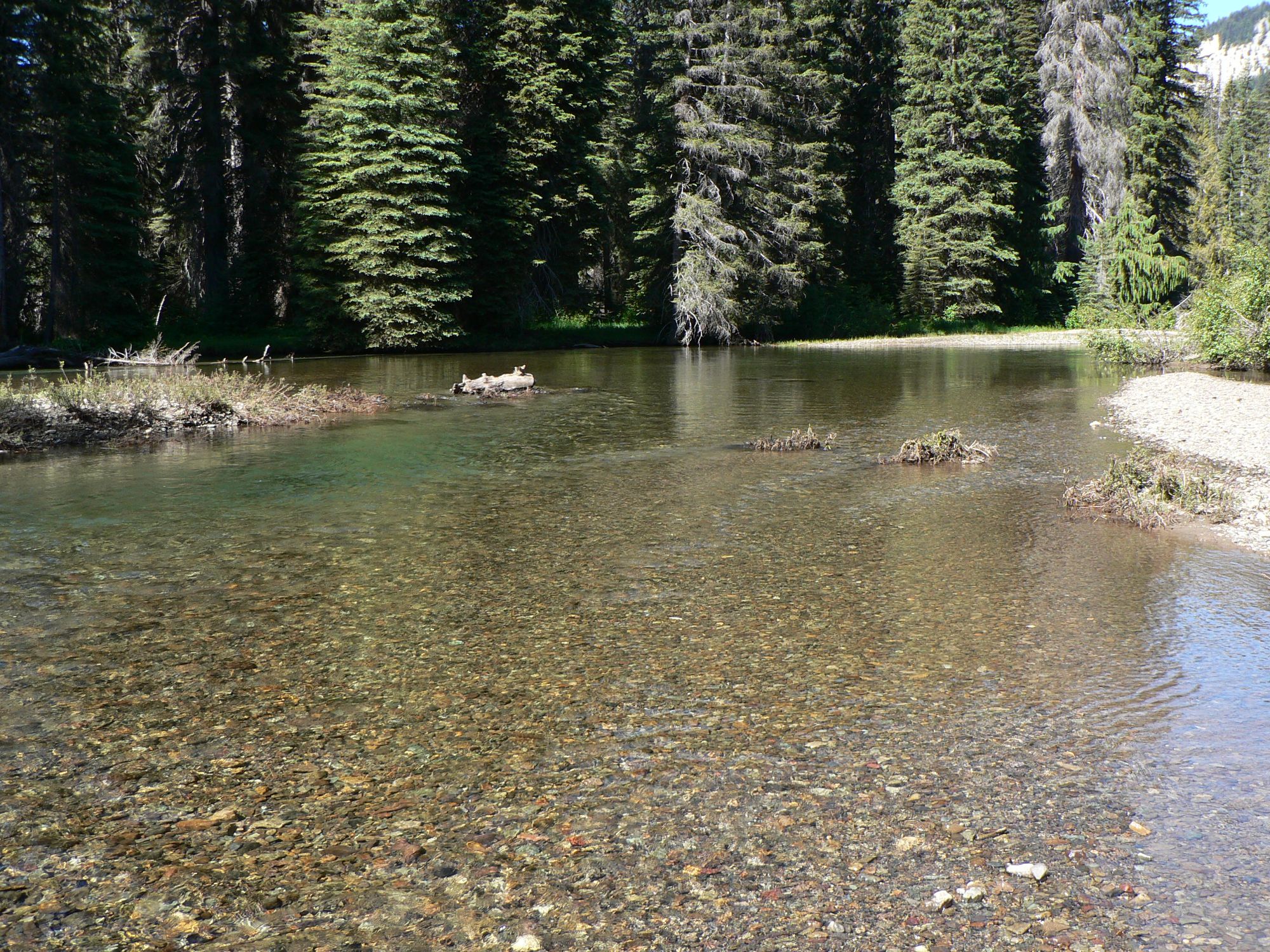
American River
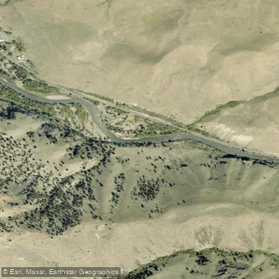
Naches River
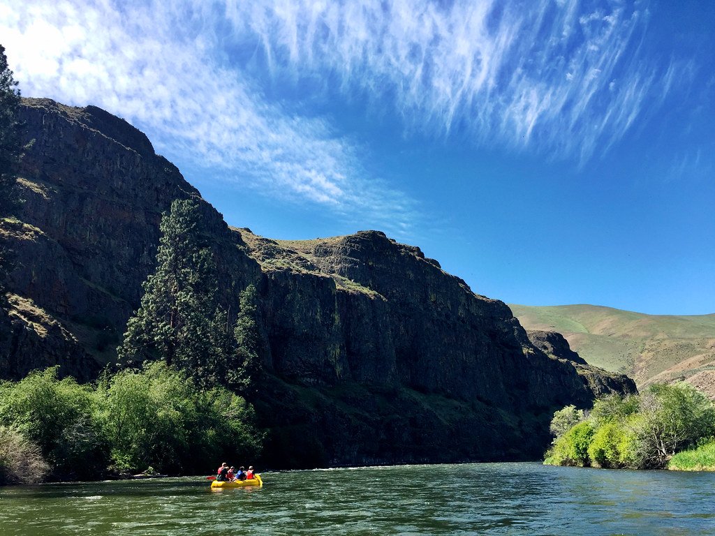
Yakima River
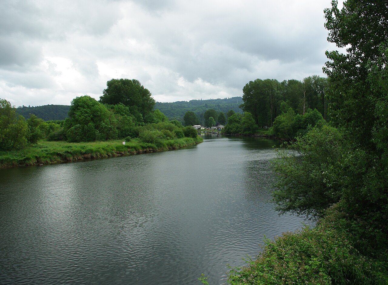
Kalama River
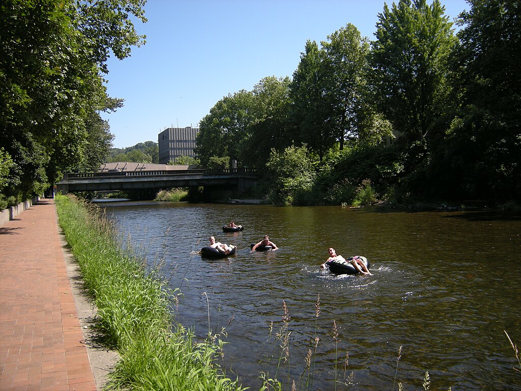
Cedar River
Nisqually River
Cispus River
Explore Washington waters
Top paddling waters
Popular Cities
Loading popular cities...
Explore near Klickitat River
Access points
- Fisher Hill boat ramp
- Pitt boat ramp
- Mineral Springs boat ramp
- Leidl Boat Ramp
- Salmon Hatchery boat ramp
- Stinson Flat boat ramp
- Klickitat County Park boat ramp
- Leidl North boat ramp
- Dillacort Canyon boat ramp
- Klickitat County Park Fishing Access Site
- Fisher Hill Fishing Access Site
- Stinson Flat Fishing Access Site
- All 38 spots
Nearby waters
More in Washington

Smarter Paddling Starts in the App.
Paddleways gives you everything you need to plan smarter, paddle better, and own every trip from first launch to takeout.