Kalama River
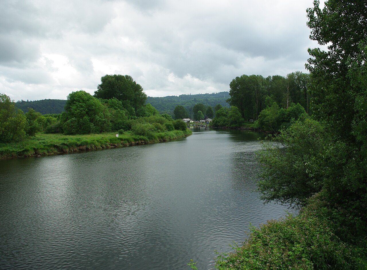
Kalama River
- Boat Ramps
- 4
- Access Points
- 13
- Campsites
- 2
The Kalama River is a vibrant waterway in southwest Washington, originating on the western slopes of Mount St. Helens and flowing approximately 45 miles westward to join the Columbia River near the town of Kalama. This glacier-fed river drains a watershed of about 205 square miles, carving through forested canyons and volcanic landscapes.
For whitewater enthusiasts, the Kalama offers several distinct paddling sections. The upper reach from the 6450 Bridge to Gobar Creek provides 15 miles of exciting Class II-III rapids, including the notable Double Drop. Below this, the middle section from Gobar Creek to Lower Kalama Falls offers a more relaxed float. The most popular and challenging run is the 2.5-mile Lower Kalama Falls to Red Barn stretch, featuring Class III-IV rapids that are runnable across a wide range of flows. The river's difficulty varies from Class II to IV, with some Class V rapids at higher water levels. Intermediate to advanced paddling skills are required for most sections.
The Kalama is typically paddled from late fall through early summer, with optimal conditions often found in spring when snowmelt increases water levels. Summer flows can be low, though the lower section often remains navigable.
The river corridor supports diverse wildlife, including elk, black bear, and various bird species. Steelhead and salmon runs are significant, making the Kalama a renowned fishing destination. Key landmarks include the dramatic Lower Kalama Falls and the Kalama Falls Fish Hatchery.
Primary access points are found along Kalama River Road, with the town of Kalama serving as the nearest urban center. The upper put-in at the 6450 Bridge is about 30 miles northeast of Kalama, while the popular lower section put-in is accessed via a fisherman's trail below Lower Kalama Falls.
Historically, the Kalama River valley was home to Native American tribes and later became an important route for fur traders and settlers. Today, it plays a crucial role in local ecosystems and recreation.
Paddlers should be aware of potential wood hazards, especially in the upper sections, and cold water conditions year-round. Some areas may require permits or have seasonal restrictions due to fish spawning.
While primarily suited for day trips, adventurous paddlers can link multiple sections for longer journeys, though camping options are limited. The Kalama River offers a thrilling paddling experience set against the backdrop of Washington's dynamic volcanic landscape.
Water access, boat ramps & amenities
Learn how to get on Kalama River. Uncover great paddling access points, boat ramps, and all the facilities you need for an unforgettable day on the water. Some locations shown may border or include private property. Always check property boundaries and applicable regulations before visiting. PaddleWays's Public & Private Land layer can help you plan your access with confidence.
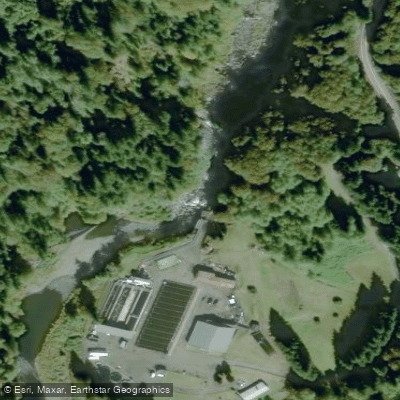
Lower Kalama River Falls
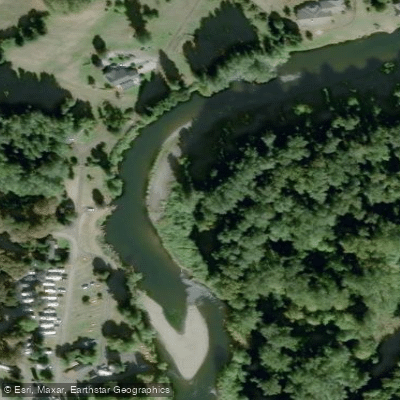
Lower Kalama River Access
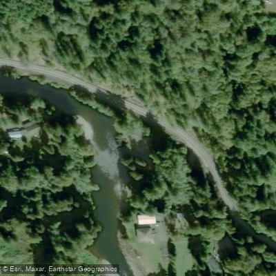
Hand Access
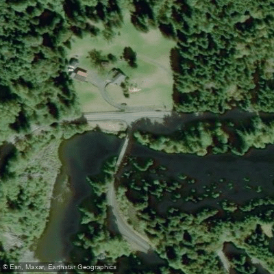
Fallert Bridge Fishing Access Site
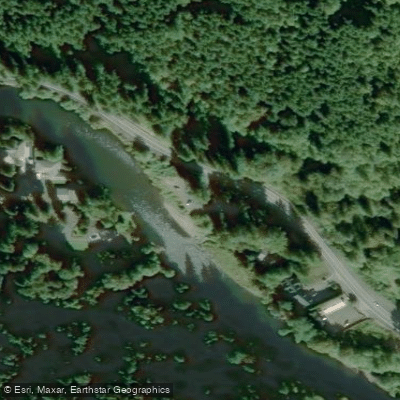
Beginners' Hole Access
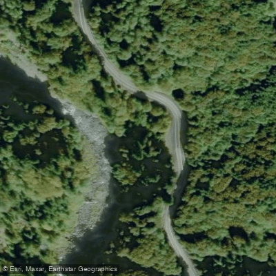
Kalama River Falls Fishing Access Site
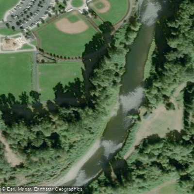
Haydu Park Fishing Access Site
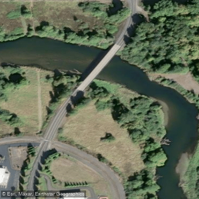
Mount St. Helens WMA Fishing Access Site
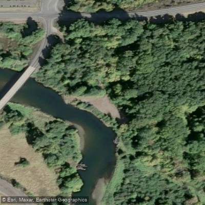
Fisherman's Loop Access
Paddle smarter with real-time insights
Whether you're en route and conditions shift or you're looking for the best spot based on current flows, we enable you to make informed decisions on the fly.








Find Places to Paddle

Over 400,000 Places to Paddle
Every user gets free access to launch points, boat ramps, and public property parcels.


Water and weather conditions (10 day forecast)
See the best times to paddle Kalama River and check the forecast before you go.
No forecast data available.
Paddling near Kalama River

Columbia River
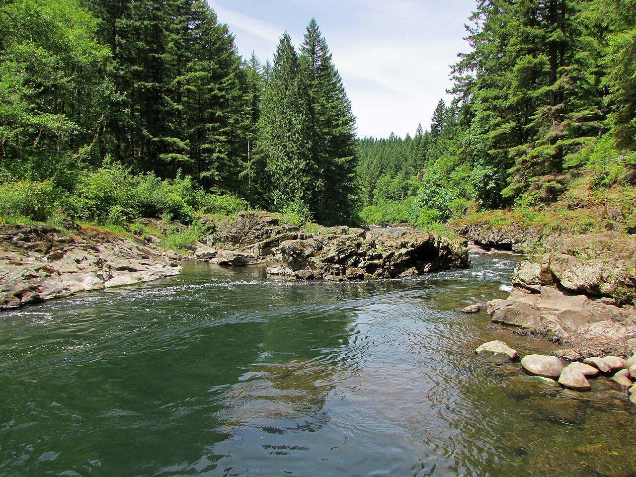
East Fork Lewis River
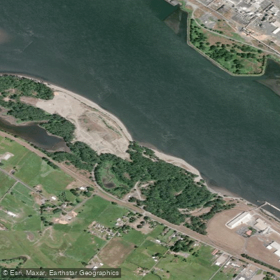
Dibblees Beach
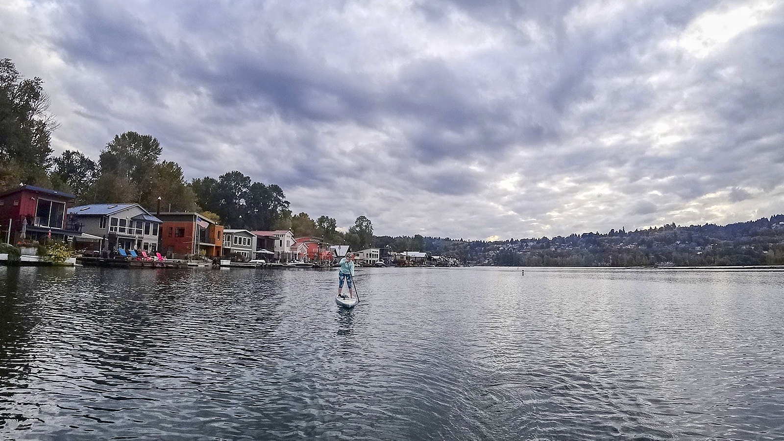
Willamette River
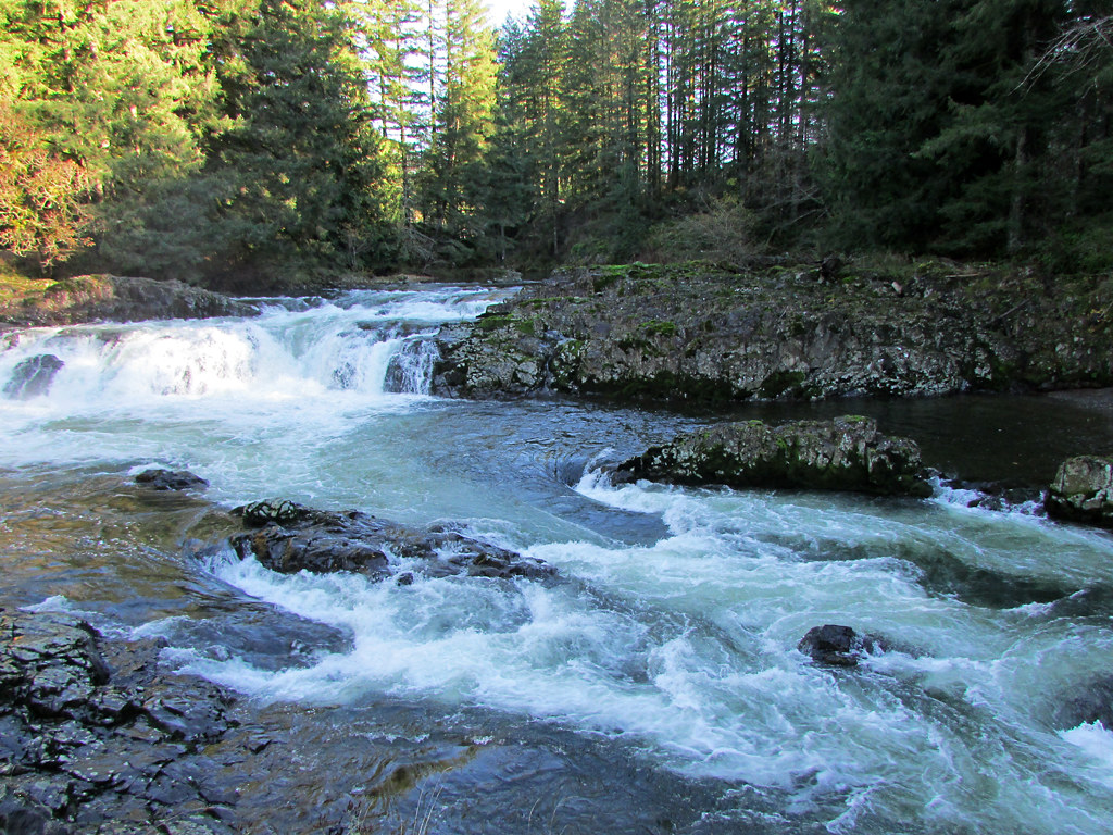
Lewis River
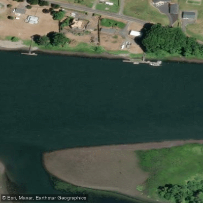
Fisher Island Slough
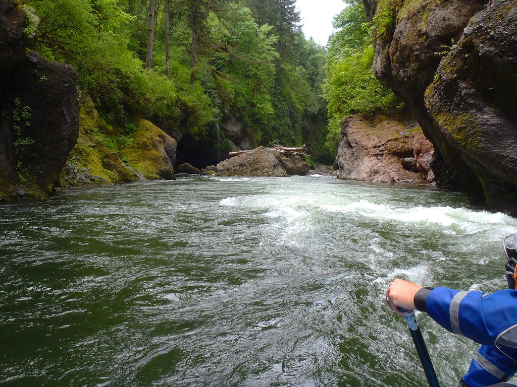
Sandy River
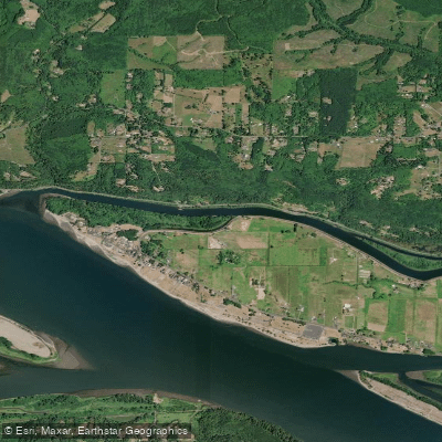
Coal Creek Slough
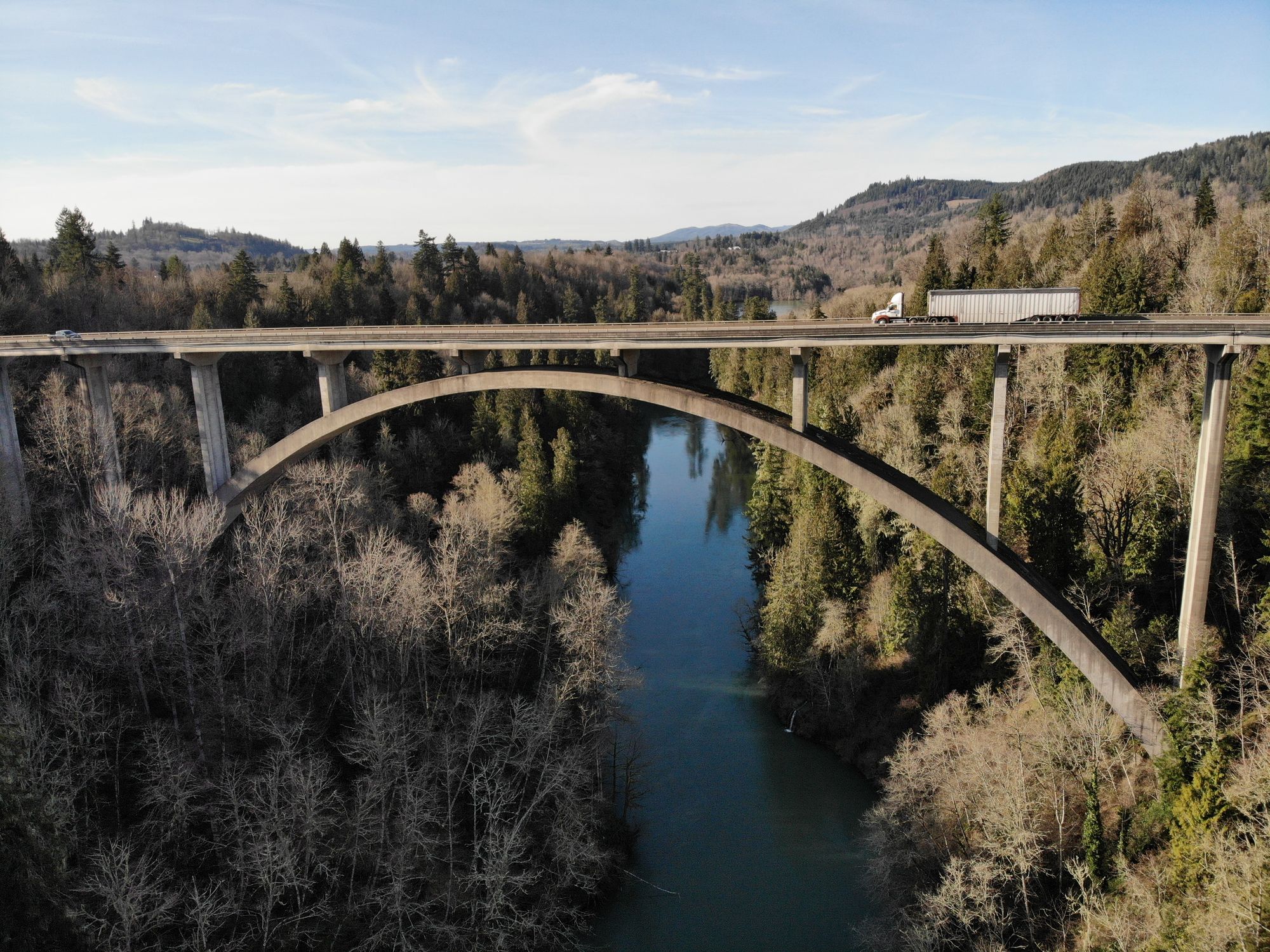
Cowlitz River
Explore Washington waters
Top paddling waters
Popular Cities
Loading popular cities...
Explore near Kalama River
Access points
- Modrow Bridge Boat Ramp
- Prichard Boat Ramp
- Boat Ramp
- Fishermans Loop Boat Ramp
- Lower Kalama River Falls
- Lower Kalama River Access
- Hand Access
- Fallert Bridge Fishing Access Site
- Beginners' Hole Access
- Kalama River Falls Fishing Access Site
- Haydu Park Fishing Access Site
- Mount St. Helens WMA Fishing Access Site
- All 32 spots
Nearby waters
More in Washington

Smarter Paddling Starts in the App.
Paddleways gives you everything you need to plan smarter, paddle better, and own every trip from first launch to takeout.