Curated by PaddleWays
RouteClass II
- Distance
- 7.2 mi
- Paddle time
- ~2.5 hrs
- Put-in → take-out
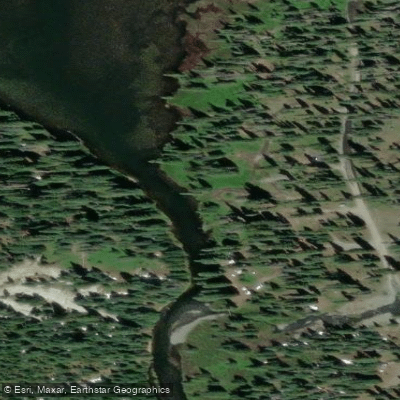
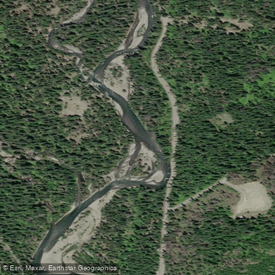
- Okanogan-Wenatchee Natl Forest Fishing Access Site → Yakima River Bridge Access
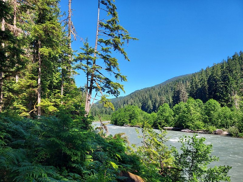
The Cle Elum River is a scenic waterway in central Washington state, originating in the Cascade Mountains and flowing southeast for approximately 28 miles before joining the Yakima River near the town of Cle Elum. This river system is part of the larger Columbia River watershed. The Cle Elum offers diverse paddling opportunities, ranging from challenging whitewater in its upper reaches to more relaxed floating in its lower sections.
The river can be divided into several distinct paddling segments: 1. The Upper Cle Elum, including the challenging Class IV-V China Gorge section, offers expert paddlers a thrilling 5.9-mile run from Scatter Creek to Salmon La Sac Creek. This section features intense rapids like Triple Drop and S-Turn. 2. A more moderate 4-mile Class II stretch from Salmon La Sac Creek to Cle Elum Reservoir is suitable for intermediate paddlers, with small rapids and scenic views. 3. Below Cle Elum Dam, a 7.8-mile Class II section runs to the confluence with the Yakima River, providing an enjoyable trip for novice to intermediate paddlers.
The river's flow is influenced by snowmelt and dam releases, with the best paddling typically occurring from late spring through summer. The surrounding landscape is characterized by dense coniferous forests, with wildlife including elk, deer, and various bird species. Key landmarks include the Cle Elum Dam, Salmon La Sac Campground, and the picturesque China Gorge. Access points are available near the towns of Roslyn and Cle Elum, with additional put-ins and take-outs along Salmon La Sac Road.
Historically, the Cle Elum River played a role in logging operations and is now an important resource for irrigation and recreation. The river and its surroundings hold cultural significance for local Native American tribes.
Safety considerations include cold water temperatures year-round and potential hazards in the more challenging upper sections. Paddlers should be aware of fluctuating water levels due to dam releases. For those seeking a multi-day adventure, it's possible to combine a trip on the Cle Elum with paddling on the connected Yakima River, offering a longer journey through the beautiful Kittitas Valley.
Curated routes
Hand-picked by the PaddleWays team, with put-ins, take-outs, paddle times and the hazards along the way.
RouteClass II
Hazards
No paddler has reported a hazard here yet, so these are the dams, falls and big rapids on our map. Hazards change with flows and storms, so check them before you launch.
From the community
Real trips from PaddleWays paddlers: which route they ran, how the flows were, and what to watch for.
Loading trip reports
Em J.
Cle Elum Dam to Yakima River Confluence
Cle Elum Dam to Yakima River Confluence Start to Yakima River Bridge Access
See exactly where the public can get on and off the river. Launch points and boat ramps are paired with PaddleWays' public land data so you know where you can legally land.
Public shoreline
82%of the river's shoreline is public
Flows, weather and a route-by-route verdict, so you know which stretch of the Cle Elum River is worth paddling today.
Live flows, marked hazards and fresh trip reports from paddlers who were just on the water, all in one place.





Every user gets free access to launch points, boat ramps, and public property parcels.
Loading popular cities...
PaddleWays gives you everything you need to plan smarter, paddle better, and own every trip from first launch to takeout.