Blair Waterway
- Saltwater
- Bay
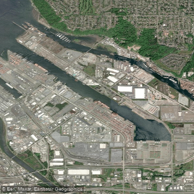
Blair Waterway
- Saltwater
- Bay
- Sq. miles
- 0.4
- Boat Ramps
- 0
- Access Points
- 0
- Campsites
- 4
The Blair Waterway is a federally maintained, industrial shipping channel within Commencement Bay in Tacoma, Washington. It is a saltwater bay feature, characterized by its deep, straight channel designed for large commercial vessels. The waterway's entrance is marked by a private lighted buoy on the southwest side, and it is maintained to a project depth of 51 feet. A fixed bridge with 29 feet of clearance crosses the waterway about 0.7 miles above its mouth, and an overhead cable just southeast of the bridge has a clearance of 46 feet. The Slip 5 Habitat Site, a valuable intertidal and shallow subtidal area, is located at the mouth of the Blair Waterway on the north end of the General Central Peninsula, providing some protected habitat from high-energy waves. A city ordinance prohibits speeds in excess of 5 knots on all Tacoma waterways and within 200 yards of any shore or pier, a regulation that applies to all vessel traffic, including paddlers. There are no moorage facilities within the Blair Waterway itself. The Dick Gilmur Kayak Launch is identified as an existing public access point on the southern shore. The overall paddling experience is dominated by the active industrial port setting, with views of shipping infrastructure and a history tied to World War II shipbuilding at the old Todd Shipyards rails near the mouth. Paddlers must be highly vigilant for large commercial ship and tug traffic within the deep channel, and crossings of the waterway entrance will expose craft to the open fetch and potential wind waves of Commencement Bay. The waterway connects to the broader estuary system, with the Slip 5 site and other habitat restoration areas offering observation points for shorebirds, waterfowl, and juvenile salmon utilizing these intertidal zones.
Water access, boat ramps & amenities
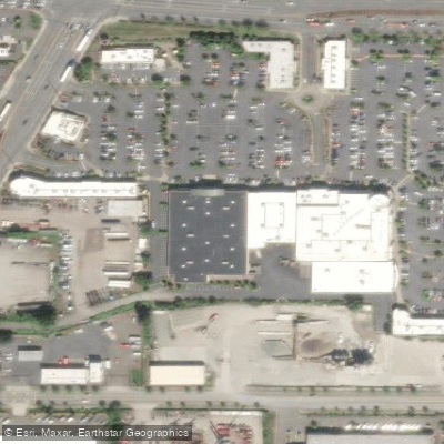
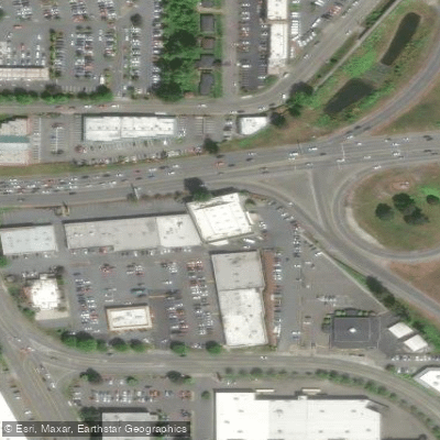
Learn how to get on Blair Waterway. Uncover great paddling access points, boat ramps, and all the facilities you need for an unforgettable day on the water. Some locations shown may border or include private property. Always check property boundaries and applicable regulations before visiting. PaddleWays's Public & Private Land layer can help you plan your access with confidence.
Paddle smarter with real-time insights
Whether you're en route and conditions shift or you're looking for the best spot based on current flows, we enable you to make informed decisions on the fly.








Find Places to Paddle

Over 400,000 Places to Paddle
Every user gets free access to launch points, boat ramps, and public property parcels.


Tides, wind & water conditions (10 day forecast)
On open water, wind and tide matter as much as the weather. See the best times to paddle Blair Waterway and check the marine forecast before you launch.
Loading tide predictions…
Paddling near Blair Waterway

Lake Washington
East Passage
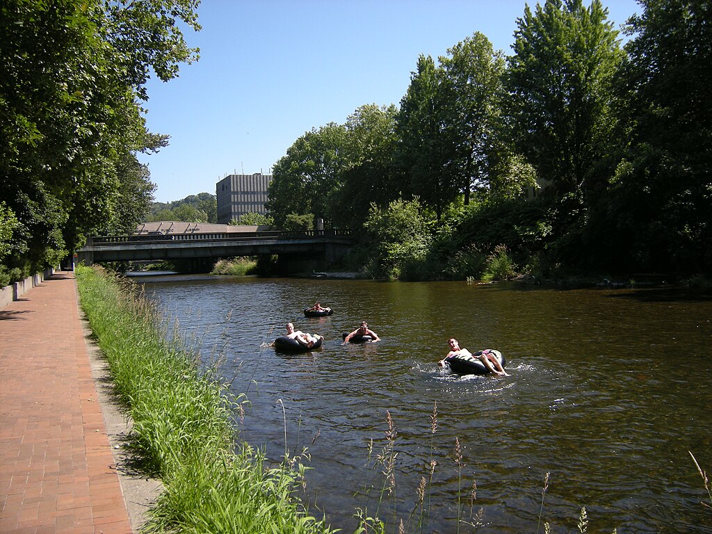
Cedar River
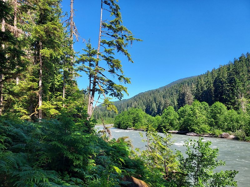
Snoqualmie River
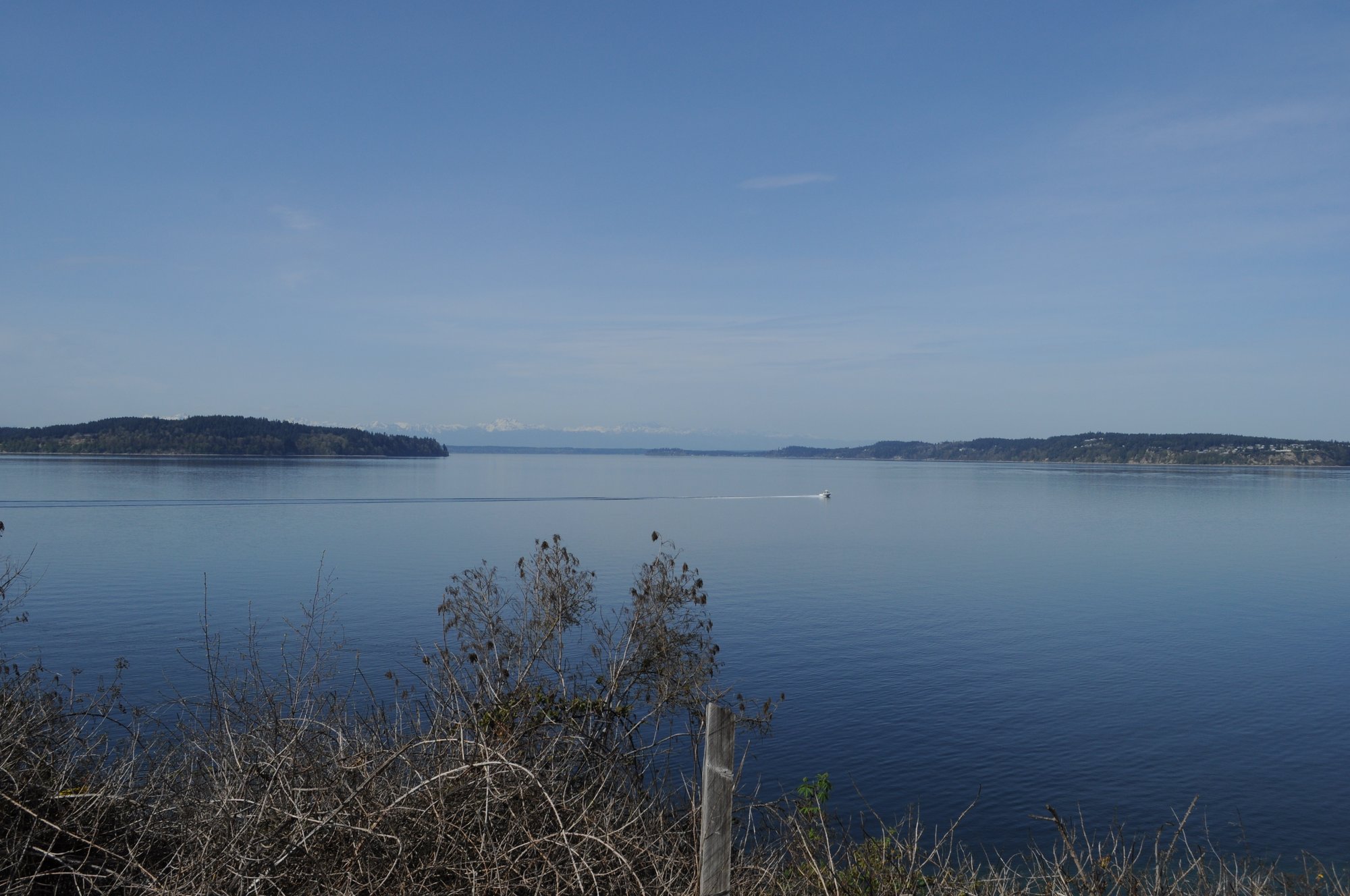
Carr Inlet
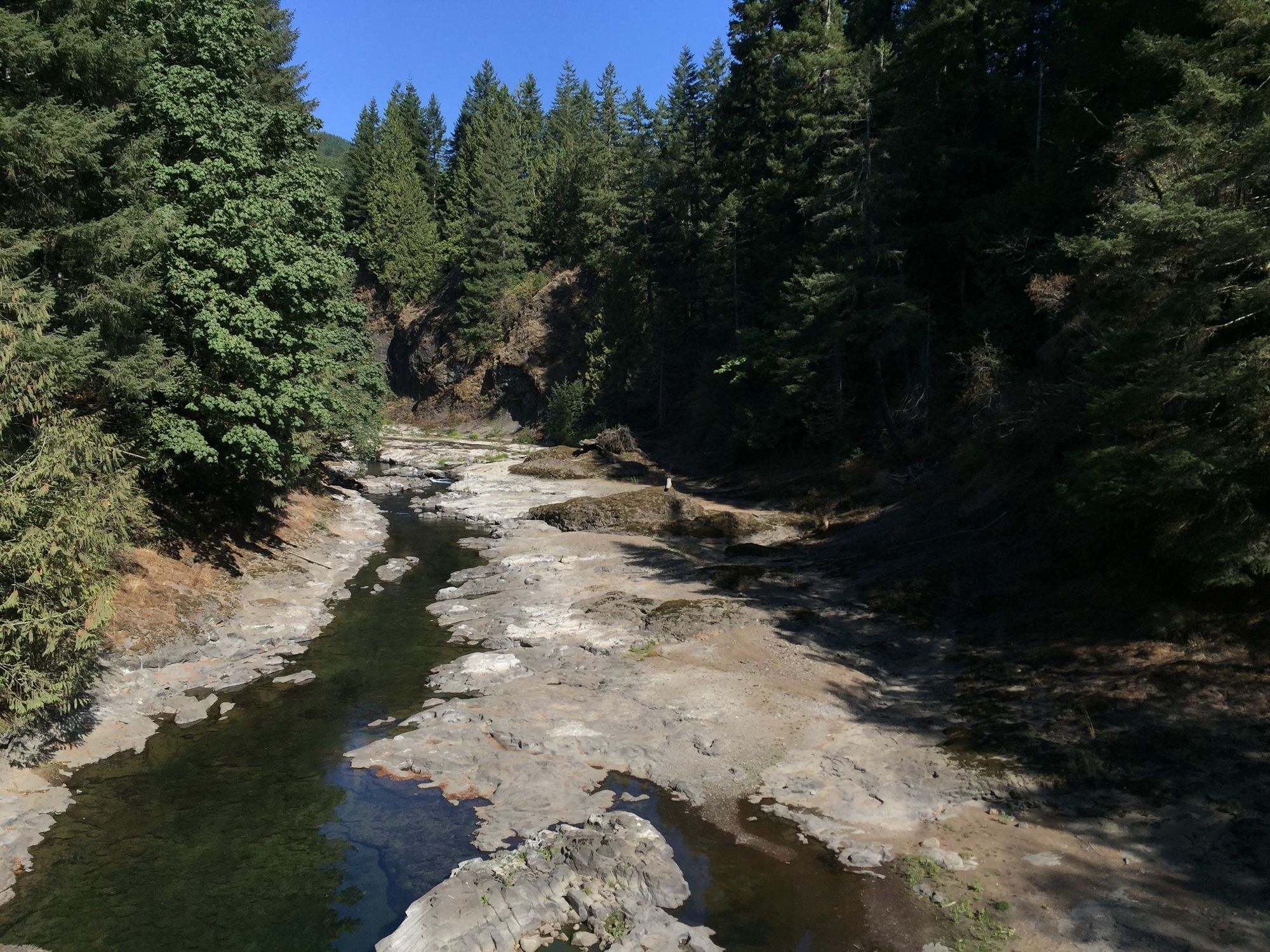
Chehalis River
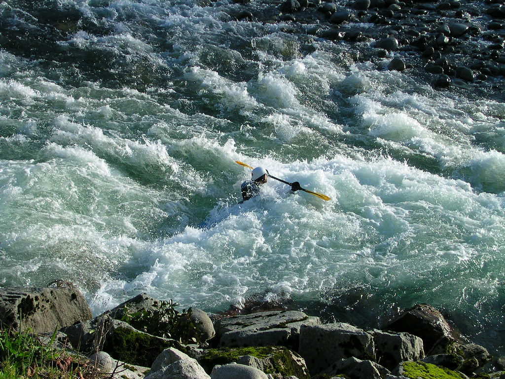
Skykomish River
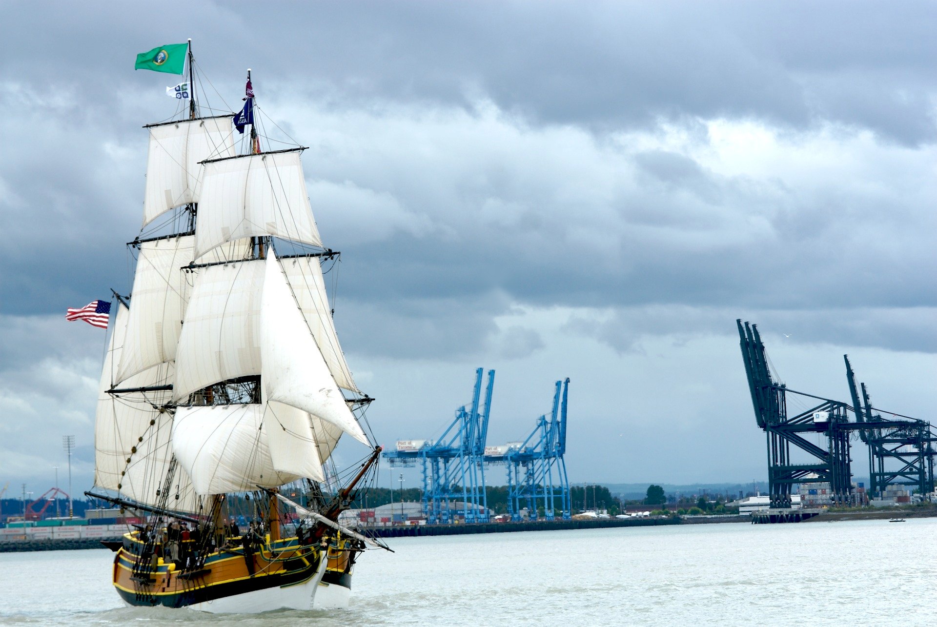
Commencement Bay
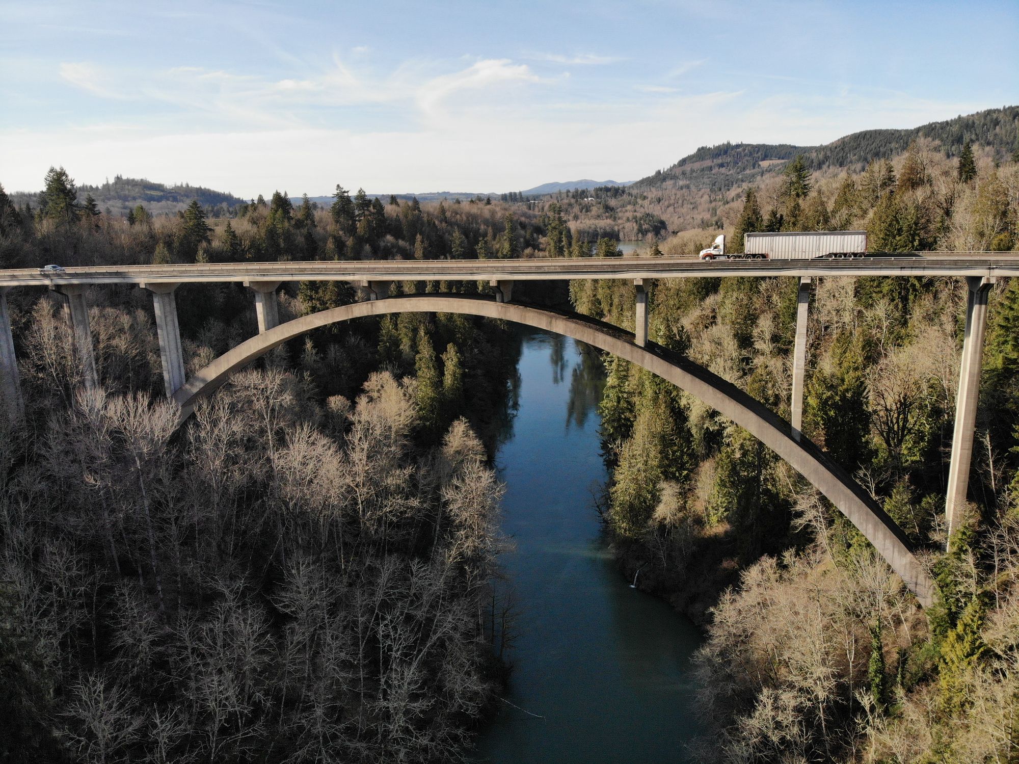
Cowlitz River
Explore Washington waters
Top paddling waters
Popular Cities
Loading popular cities...
Explore near Blair Waterway
Access points
Nearby waters
More in Washington

Smarter Paddling Starts in the App.
Paddleways gives you everything you need to plan smarter, paddle better, and own every trip from first launch to takeout.