Sandy River
Sandy River
- Boat Ramps
- 12
- Access Points
- 22
- Campsites
- 14
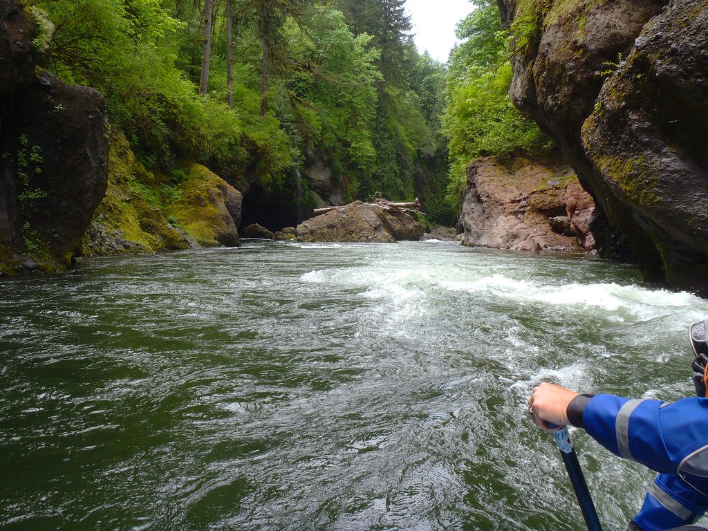
The Sandy River, originating from the glaciers of Mount Hood in Oregon's Cascade Mountains, is a waterway that offers a range of paddling experiences for all skill levels. This 56-mile river flows through deep, winding gorges and forested canyons before joining the Columbia River near Troutdale, just east of Portland.
The Sandy River presents a variety of paddling opportunities, from challenging whitewater in its upper reaches to more relaxed floats in its lower sections. The upper river, particularly the McNeil Campground to Lolo Pass Road stretch, offers expert paddlers a thrilling Class IV experience with a steep gradient of 200 feet per mile. As the river descends, it transitions into more moderate Class II-III rapids in the Lolo Pass Road to Marmot Dam section, suitable for intermediate paddlers.
The crown jewel of the Sandy River is undoubtedly the Sandy River Gorge, a 6.5-mile Class IV-V section from the former Marmot Dam site to Revenue Bridge. This stretch showcases the river's raw beauty with its basalt canyons, house-sized boulders, and hanging moss gardens. It's a technical run best suited for experienced whitewater enthusiasts.
For those seeking a more relaxed experience, the lower sections of the Sandy River offer excellent options. The Dodge Park to Oxbow Park run is a popular 6.7-mile Class II+ stretch, perfect for intermediate paddlers and those looking to improve their skills. Further downstream, the Oxbow to Dabney and Lewis & Clark sections provide scenic Class I-II floats ideal for beginners and families.
The best time to paddle the Sandy River varies depending on the section and skill level. The more challenging upper reaches and the gorge are typically run in fall, winter, or spring when water levels are sufficient. The lower sections can be enjoyed year-round, with summer being particularly popular for casual floats and tubing.
The river corridor is home to diverse flora and fauna. Old-growth forests line the banks, while the river itself supports important runs of anadromous fish, including salmon and steelhead. Lucky paddlers might spot bald eagles, ospreys, or even black bears along the shoreline.
Several notable landmarks punctuate the Sandy River's course. The site of the former Marmot Dam, removed in 2007, marks a significant point in the river's restoration. Oxbow Regional Park offers a glimpse into the river's natural state, looking much as it did a century ago despite its proximity to Portland.
Access to the Sandy River is facilitated by numerous parks and recreation areas along its length. Dodge Park, Oxbow Regional Park, and Dabney State Recreation Area are popular put-in and take-out points. The nearby town of Sandy serves as a gateway to the upper river, while Troutdale provides access to the lower reaches.
Historically, the Sandy River played a role in the Lewis and Clark expedition, with the explorers camping near its confluence with the Columbia River. Today, the river's importance is recognized through its designation as both a federal Wild and Scenic River and a State Scenic Waterway for a 12.5-mile stretch from Dodge Park to Dabney State Recreation Site.
Safety is paramount on the Sandy River. Paddlers should be aware of rapidly changing conditions, especially in the gorge section where extreme caution is necessary. Cold water temperatures year-round necessitate appropriate gear and preparation. It's advisable to check current flow levels and consult local outfitters or experienced paddlers before embarking on any trip.
While most paddling on the Sandy River consists of day trips, multi-day adventures are possible by combining different sections. A popular option is to start in the upper reaches and work downstream over several days, experiencing the river's changing character from challenging whitewater to more relaxed flows.
The Sandy River offers a remarkable paddling experience that showcases the natural beauty of the Pacific Northwest, providing adventures for paddlers of all skill levels within easy reach of Portland.
Water access, boat ramps & amenities
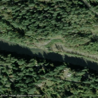
Learn how to get on Sandy River. Uncover great paddling access points, boat ramps, and all the facilities you need for an unforgettable day on the water. Some locations shown may border or include private property. Always check property boundaries and applicable regulations before visiting. PaddleWays's Public & Private Land layer can help you plan your access with confidence.
Access
OxBow - Sandy River Access
Mt Hood Wilderness Area Access
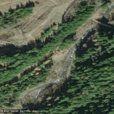
Muddy Fork Access
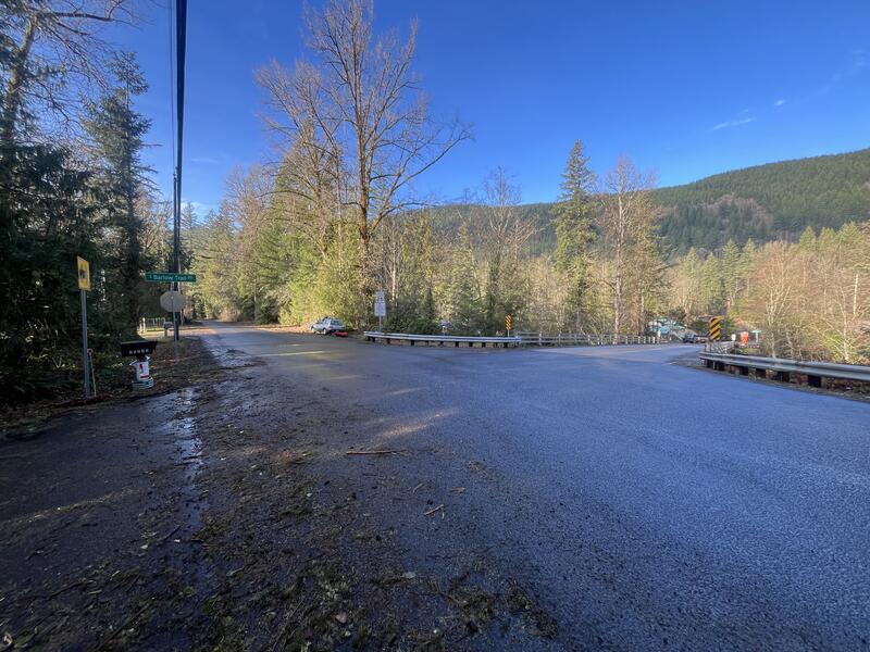
Put In Parking
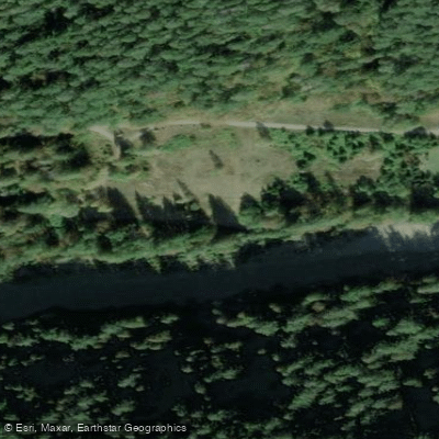
Take Out Parking
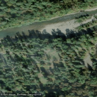
Dodge Park Access
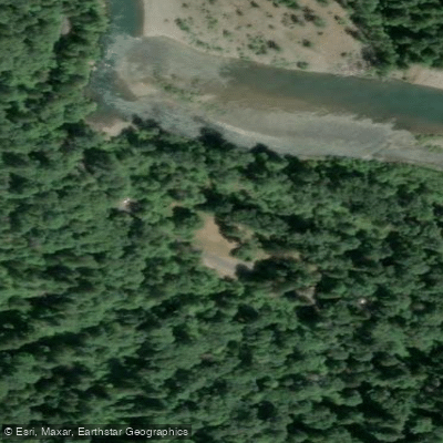
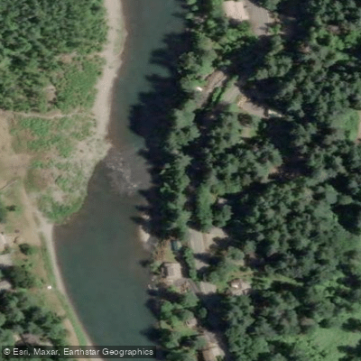
Oxbow Park Area Access
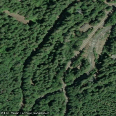
Clear Creek Crossing Campground Access
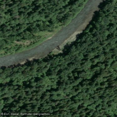
Sandy River Cedar Creek Access
Paddle smarter with real-time insights
Whether you're en route and conditions shift or you're looking for the best spot based on current flows, we enable you to make informed decisions on the fly.








Find Places to Paddle

Over 400,000 Places to Paddle
Every user gets free access to launch points, boat ramps, and public property parcels.


Water and weather conditions (10 day forecast)
See the best times to paddle Sandy River and check the forecast before you go.
SANDY RIVER NEAR MARMOT, OR
All Flow Stations
Paddling near Sandy River

Columbia River
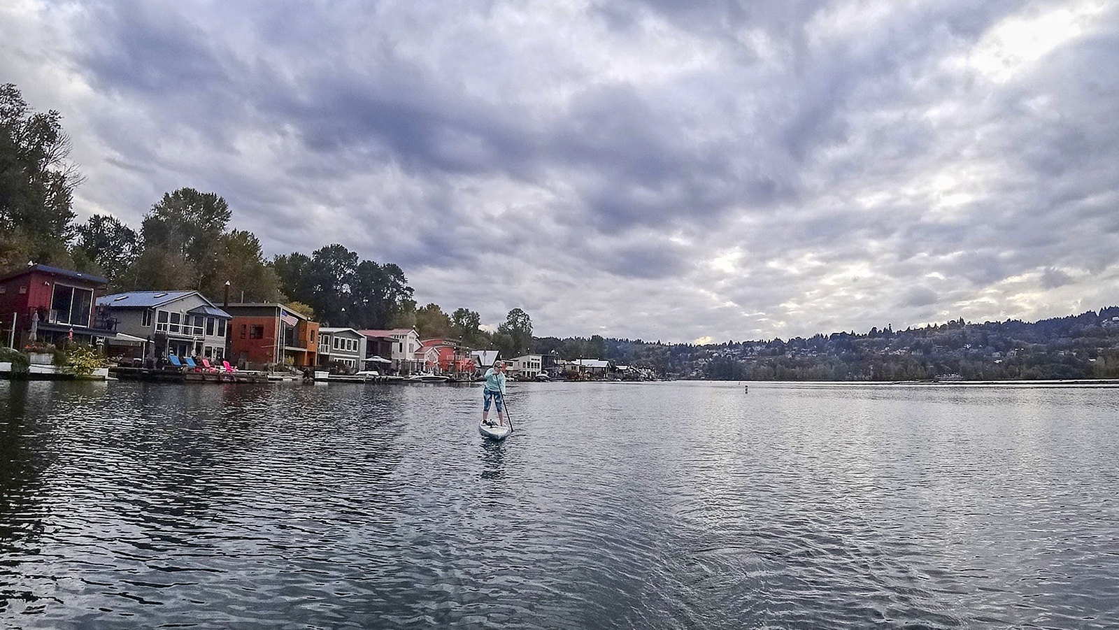
Willamette River
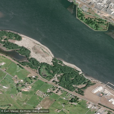
Dibblees Beach
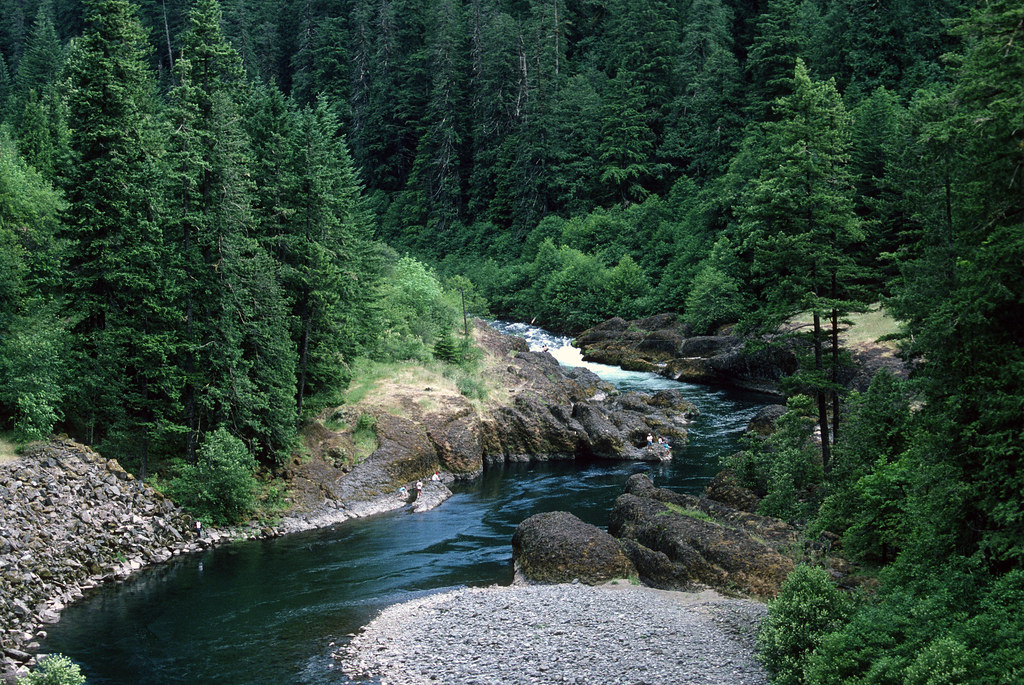
Clackamas River
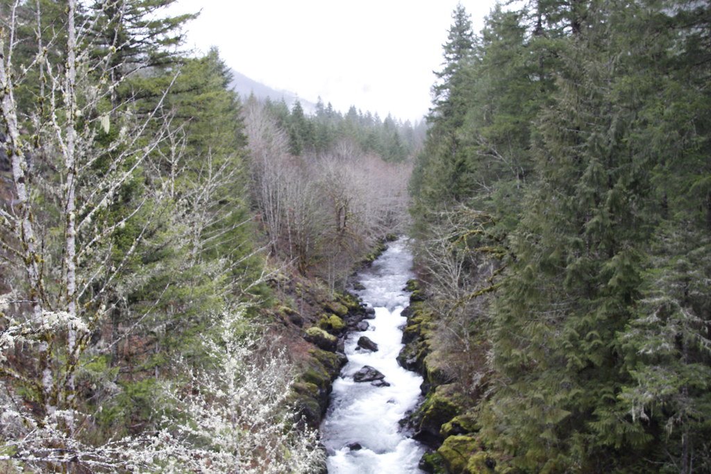
Molalla River
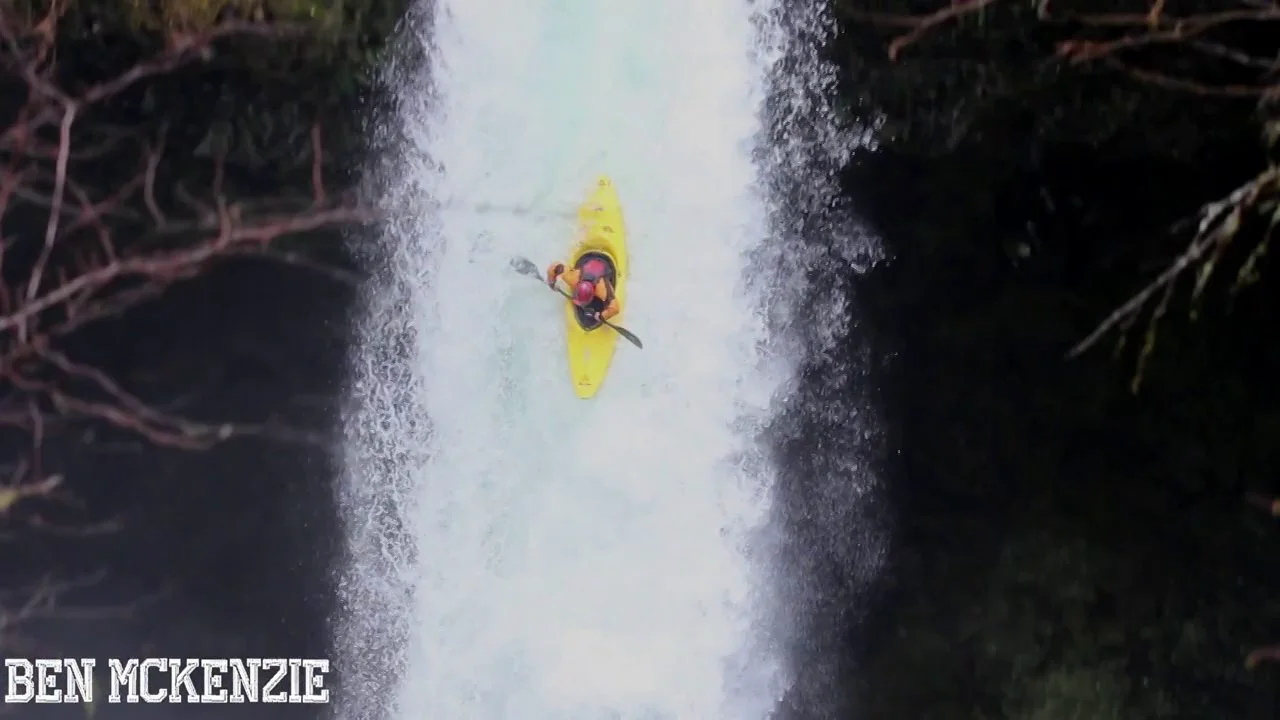
Eagle Creek
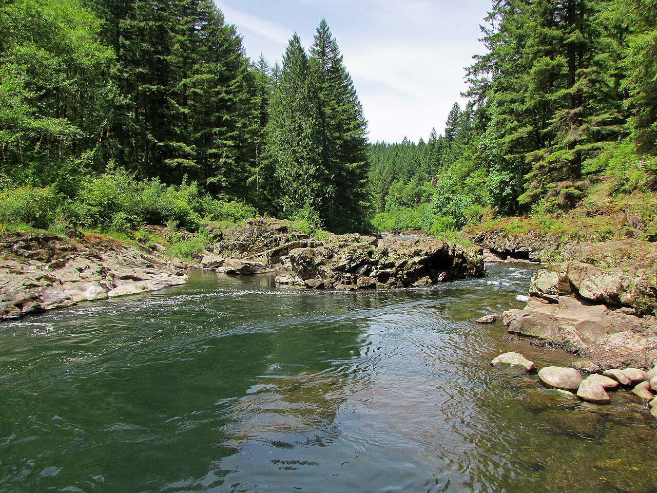
East Fork Lewis River
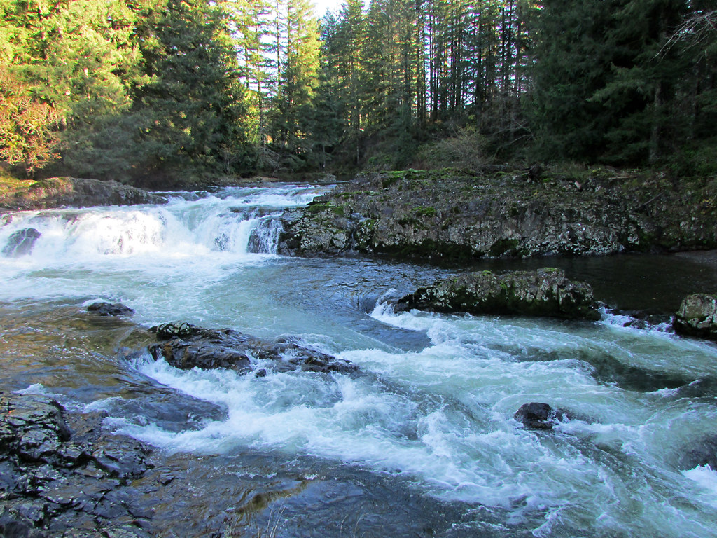
Lewis River
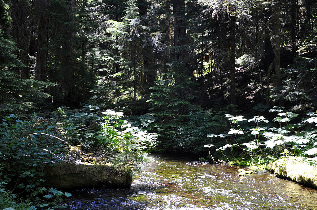
Bull Run River
Explore Oregon waters
Top paddling waters
Popular Cities
Loading popular cities...
Explore near Sandy River
Access points
Nearby waters
More in Oregon

Smarter Paddling Starts in the App.
Paddleways gives you everything you need to plan smarter, paddle better, and own every trip from first launch to takeout.