Coal Creek Slough
- Saltwater
- Tidal creek
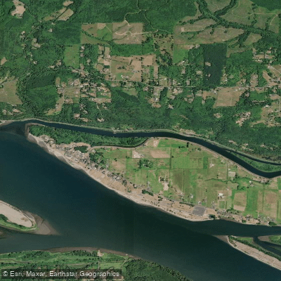
Coal Creek Slough
- Saltwater
- Tidal creek
- Sq. miles
- 0.1
- Boat Ramps
- 0
- Access Points
- 0
- Campsites
- 0
Coal Creek Slough is a tidal waterway located just west of Longview, Washington, paralleling State Route 4 for approximately four miles. It provides access to a network of backwater sloughs within the Willow Grove Wetland. The primary and officially recognized access point is the Coal Creek Boat Launch, a small concrete single-lane ramp without a dock, specifically designed for kayaks and small boats. It is situated just off SR 4, west of Longview, and offers free day-use parking with no launch fees. There are no restroom facilities at this launch. Another potential access point is at Willow Grove Park, where a sandy beach can be used for launching small craft, though this area is being busier and less quiet. The slough connects to the Columbia River roughly 4.5 miles to the west. The water body is tidally influenced, with a noted low tidal range. The character of the paddling experience varies; the upper slough near the boat launch offers a quieter wetland environment, while areas closer to Willow Grove Park and the Columbia River confluence can see significant motorized boat traffic, including freighters at anchor and jet skis, which impacts the serenity. Paddlers should be prepared for potential wind, especially when heading northwest, which is an upwind direction. The route to the Columbia River involves navigating channel choices, and while charts indicate navigability, paddlers are advised to carry a map. Wildlife includes ospreys, which are known to nest on towers in the area. The slough's principle use is noted for bank fishing and small craft launching, with no specific paddling restrictions mentioned beyond the general presence of motorized traffic.
Water access, boat ramps & amenities
Learn how to get on Coal Creek Slough. Uncover great paddling access points, boat ramps, and all the facilities you need for an unforgettable day on the water. Some locations shown may border or include private property. Always check property boundaries and applicable regulations before visiting. PaddleWays's Public & Private Land layer can help you plan your access with confidence.
Paddle smarter with real-time insights
Whether you're en route and conditions shift or you're looking for the best spot based on current flows, we enable you to make informed decisions on the fly.








Find Places to Paddle

Over 400,000 Places to Paddle
Every user gets free access to launch points, boat ramps, and public property parcels.


Tides, wind & water conditions (10 day forecast)
On open water, wind and tide matter as much as the weather. See the best times to paddle Coal Creek Slough and check the marine forecast before you launch.
Loading tide predictions…
Paddling near Coal Creek Slough

Columbia River
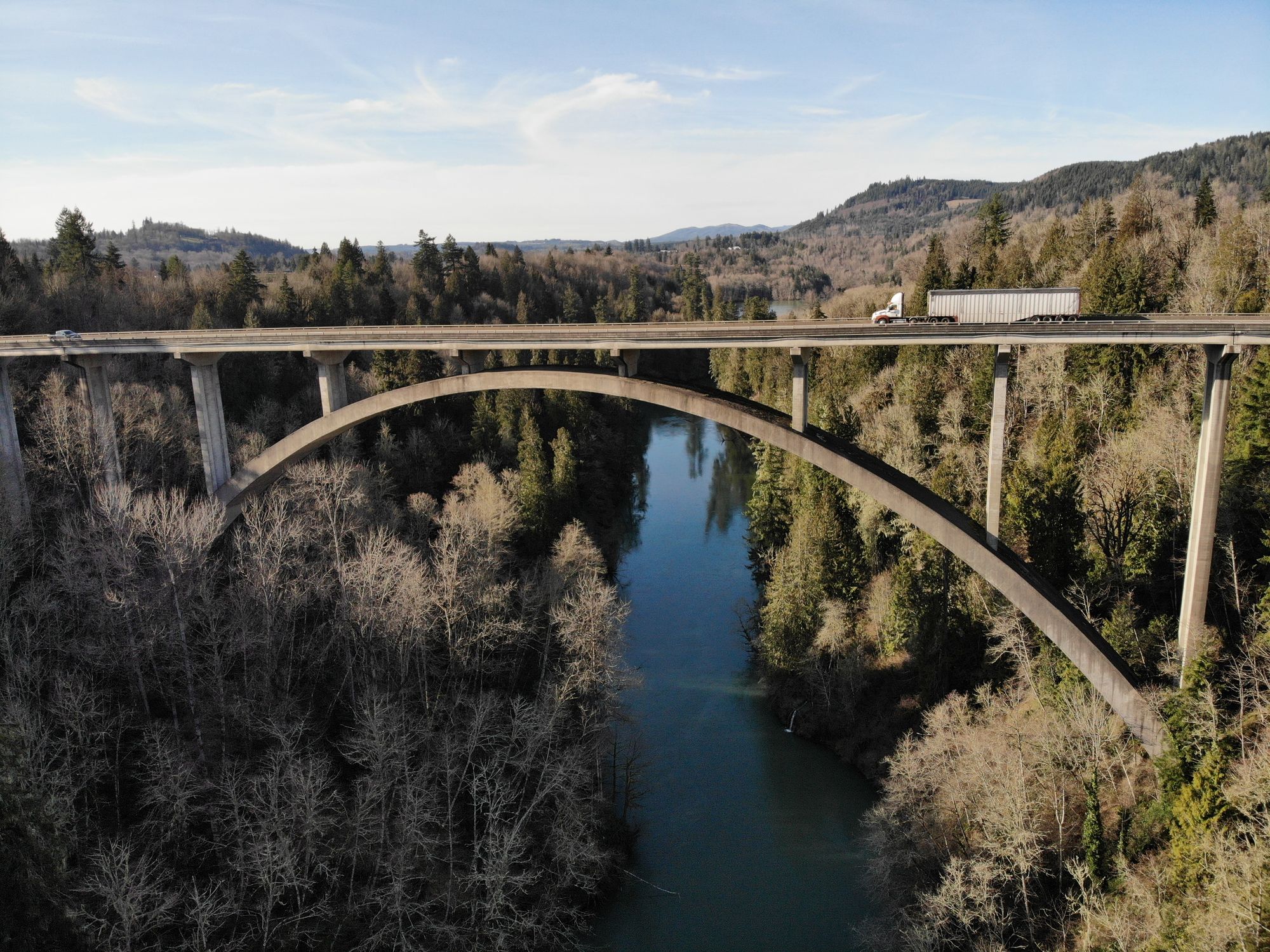
Cowlitz River
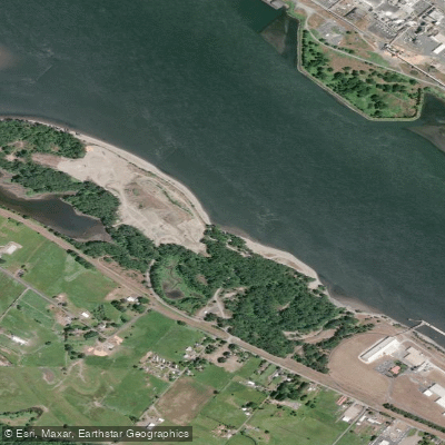
Dibblees Beach
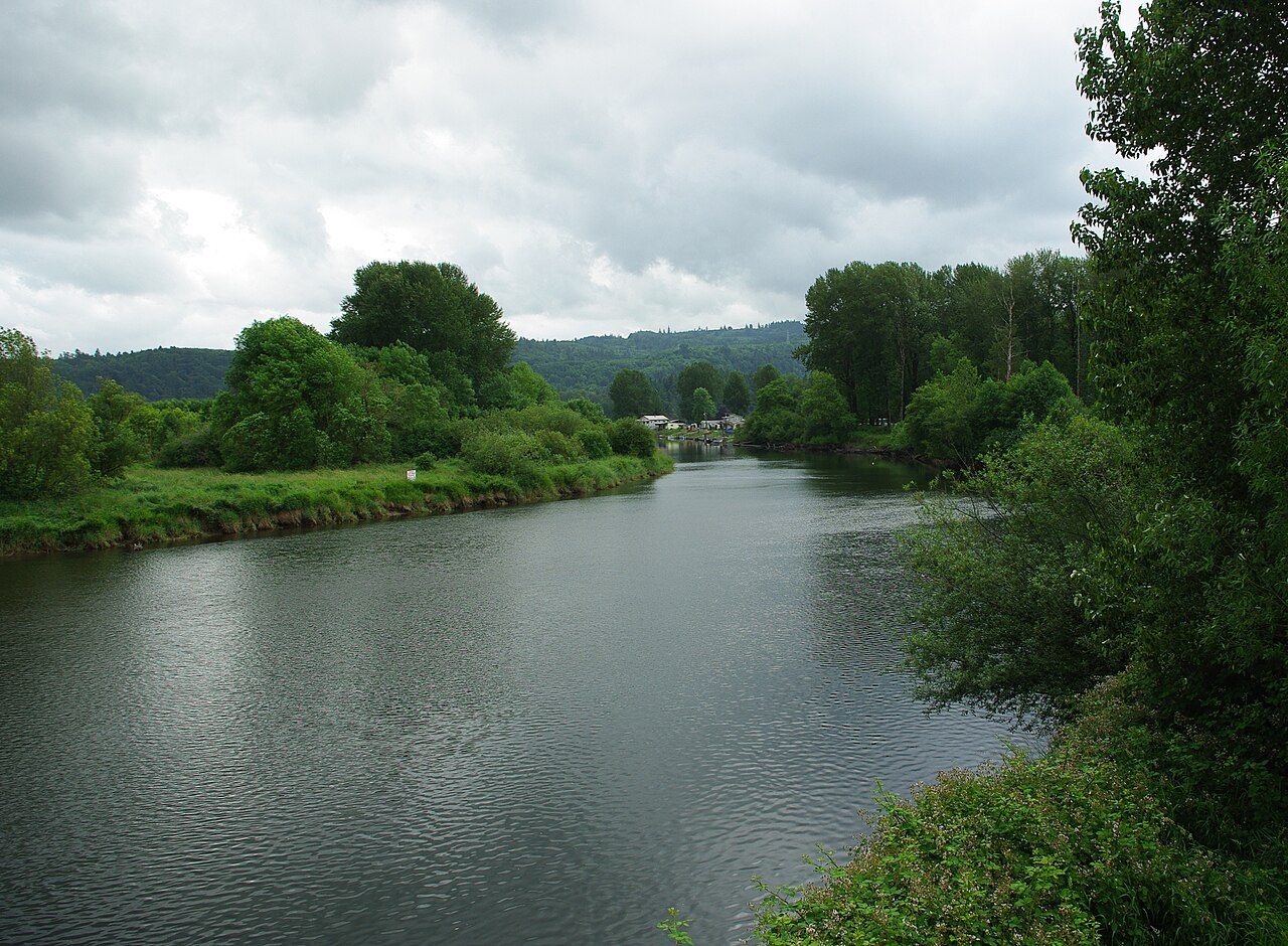
Kalama River
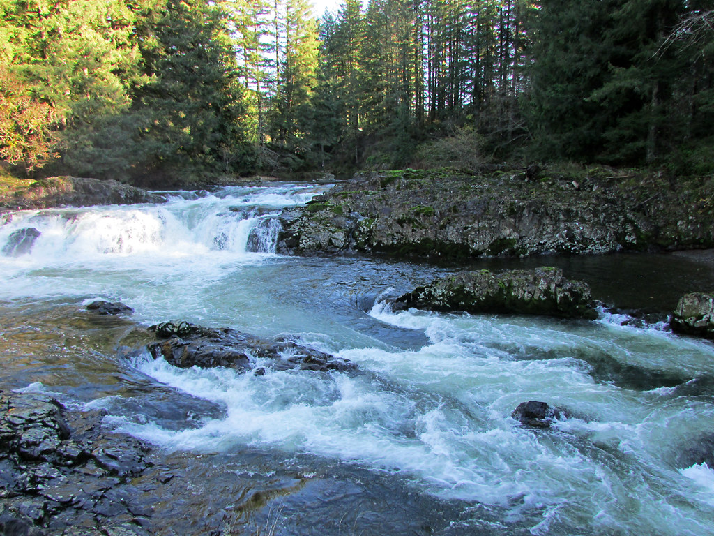
Lewis River
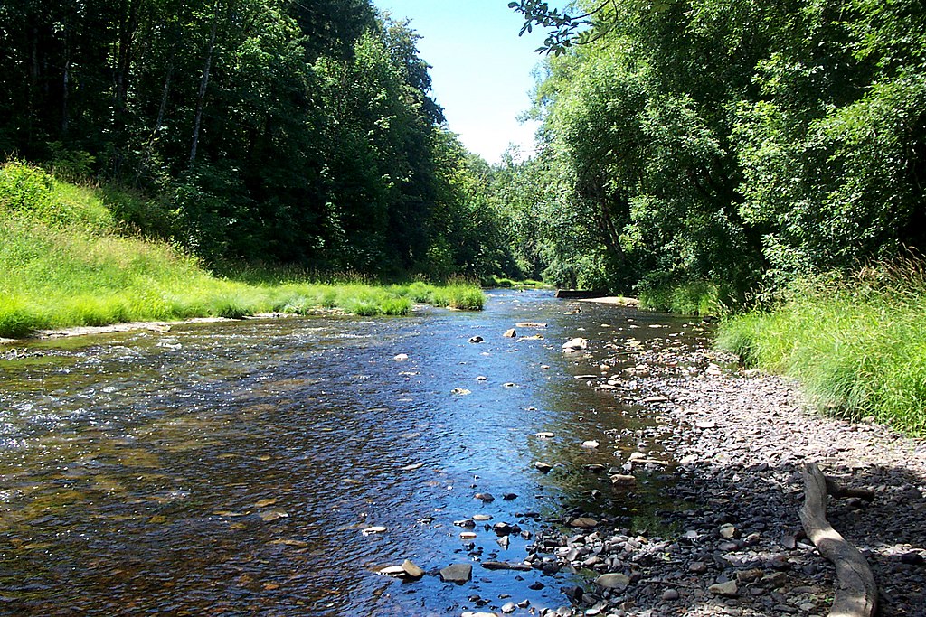
Nehalem River
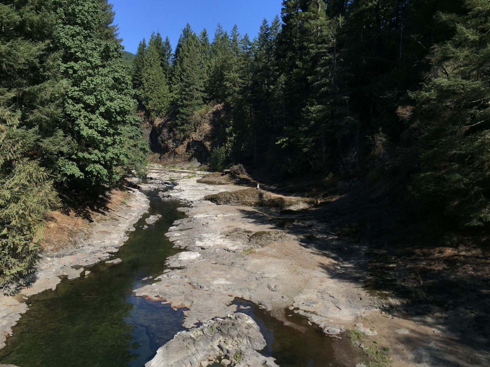
Chehalis River
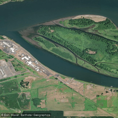
Bradbury Slough
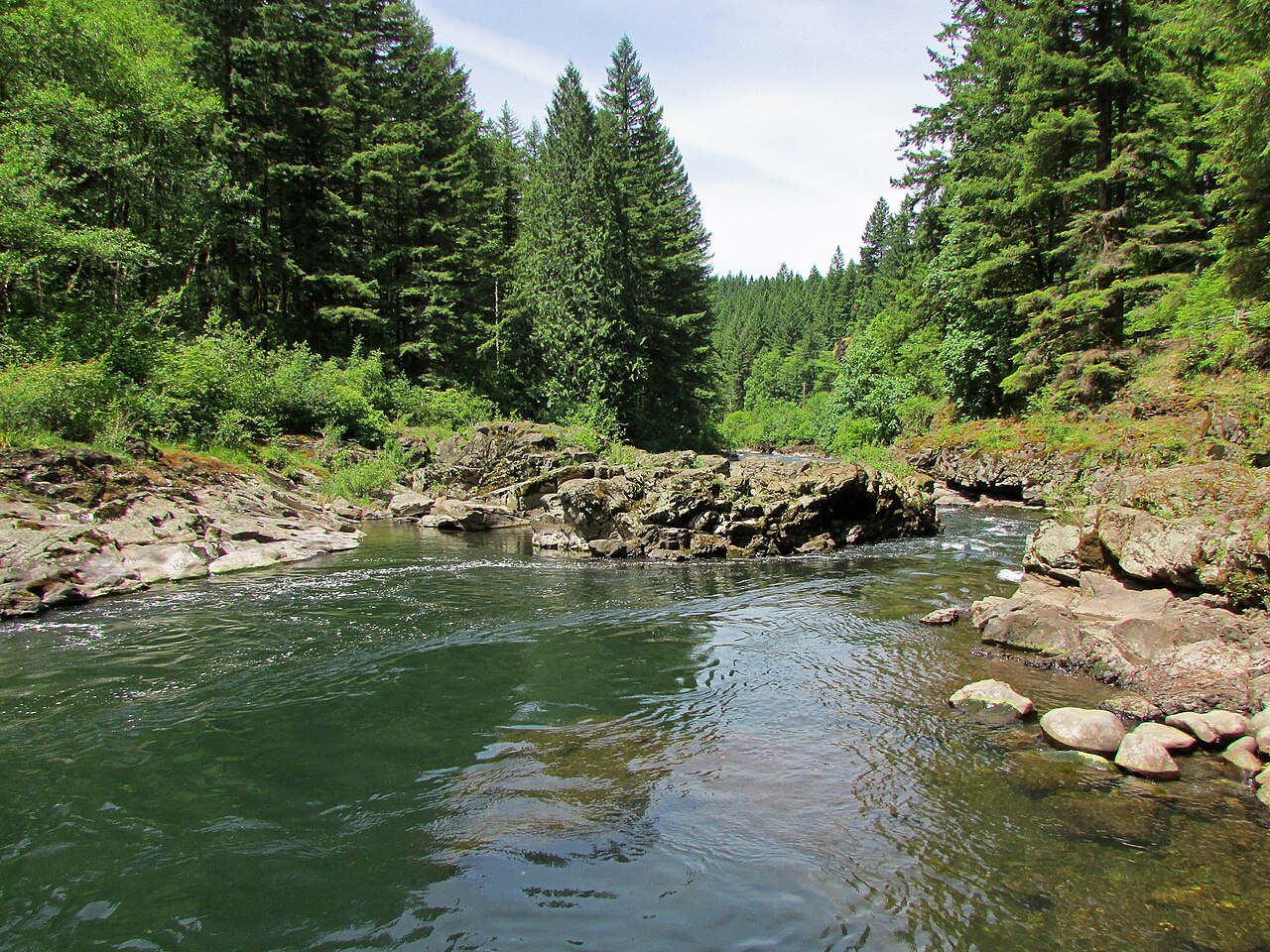
East Fork Lewis River
Explore Washington waters
Top paddling waters
Popular Cities
Loading popular cities...
Explore near Coal Creek Slough
Access points
Nearby waters
More in Washington

Smarter Paddling Starts in the App.
Paddleways gives you everything you need to plan smarter, paddle better, and own every trip from first launch to takeout.