Puyallup River
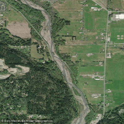
Puyallup River
- Boat Ramps
- 2
- Access Points
- 3
- Campsites
- 10
The Puyallup River originates on the western slopes of Mount Rainier, flowing northwest for approximately 45 miles before emptying into Commencement Bay in Tacoma, Washington. This glacially-fed river drains a watershed of about 1,040 square miles, which includes its major tributaries - the White River and the Carbon River. The Puyallup offers diverse paddling opportunities, ranging from calm flatwater sections to challenging whitewater runs.
The upper reaches near Mount Rainier feature steep, technical rapids suitable only for expert paddlers. The Puyallup Gorge section, from Niesson Creek to Electron, is particularly renowned for its Class V-V+ rapids flowing through a dramatic canyon landscape. As the river descends, it transitions to more moderate whitewater. The 9-mile stretch from Kapowsin Road Bridge to Highway 162 provides an excellent Class II run, perfect for intermediate paddlers and those looking to improve their skills. Further downstream, the 6.2-mile section from McMillin to Puyallup offers a gentler Class I-II experience, ideal for beginners and families.
The river's flow is heavily influenced by seasonal patterns, with peak volumes occurring during spring snowmelt and again with fall rains. Summer typically sees lower water levels, though the river remains paddleable year-round for experienced boaters. The Puyallup is known for its distinctive milky-white color, a result of glacial silt, which also contributes to its cold temperature even in summer months.
The Puyallup Valley supports a rich ecosystem, home to various salmon species, steelhead, and trout. The river and its surroundings provide critical habitat for numerous bird species, including bald eagles and great blue herons. The watershed's forests feature typical Pacific Northwest flora such as Douglas fir, western red cedar, and big leaf maple.
Key landmarks along the river include the controversial Electron Dam, which has been a focal point for environmental conservation efforts. The river passes through several towns, including Orting, Puyallup, and Tacoma, offering multiple access points for paddlers. The Foothills Trail, which parallels much of the river's course, provides additional recreational opportunities and scenic views.
Historically, the Puyallup River holds great significance for the Puyallup Tribe of Indians, who have lived in the watershed for thousands of years. The river continues to play a vital role in the tribe's culture, particularly in relation to salmon fishing rights and conservation efforts.
Safety is paramount when paddling the Puyallup. Its glacial origins mean the water remains dangerously cold year-round, and conditions can change rapidly, especially in the upper reaches. Paddlers should always check current water levels and weather forecasts, wear appropriate safety gear, and possess skills matching their chosen section's difficulty.
While most paddling trips on the Puyallup are day excursions, the river's length and variety of sections make it possible to plan multi-day adventures, particularly for those interested in combining paddling with hiking or camping in the Mount Rainier area. However, such trips require careful planning and a high level of outdoor expertise.
Water access, boat ramps & amenities
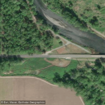
Learn how to get on Puyallup River. Uncover great paddling access points, boat ramps, and all the facilities you need for an unforgettable day on the water. Some locations shown may border or include private property. Always check property boundaries and applicable regulations before visiting. PaddleWays's Public & Private Land layer can help you plan your access with confidence.
Paddle smarter with real-time insights
Whether you're en route and conditions shift or you're looking for the best spot based on current flows, we enable you to make informed decisions on the fly.








Find Places to Paddle

Over 400,000 Places to Paddle
Every user gets free access to launch points, boat ramps, and public property parcels.


Water and weather conditions (10 day forecast)
See the best times to paddle Puyallup River and check the forecast before you go.
PUYALLUP RIVER NEAR ORTING, WA
All Flow Stations
Paddling near Puyallup River

Lake Washington
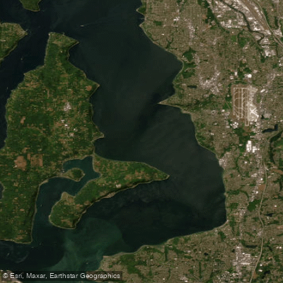
East Passage
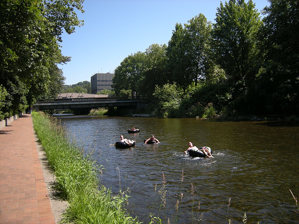
Cedar River
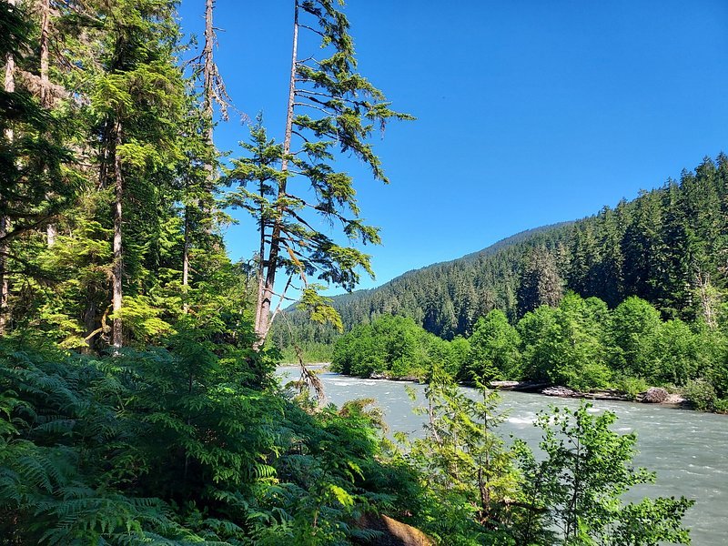
Snoqualmie River
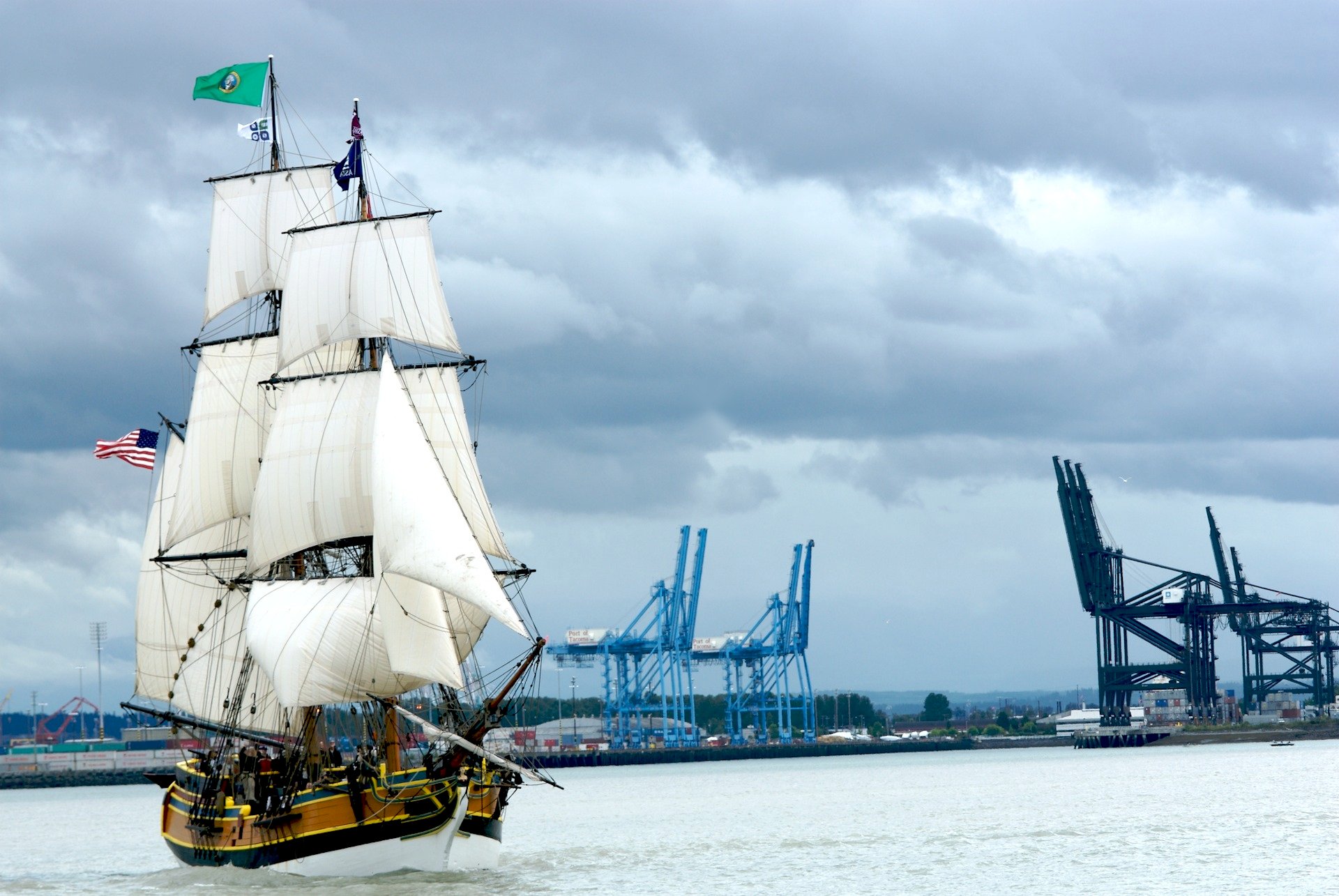
Commencement Bay
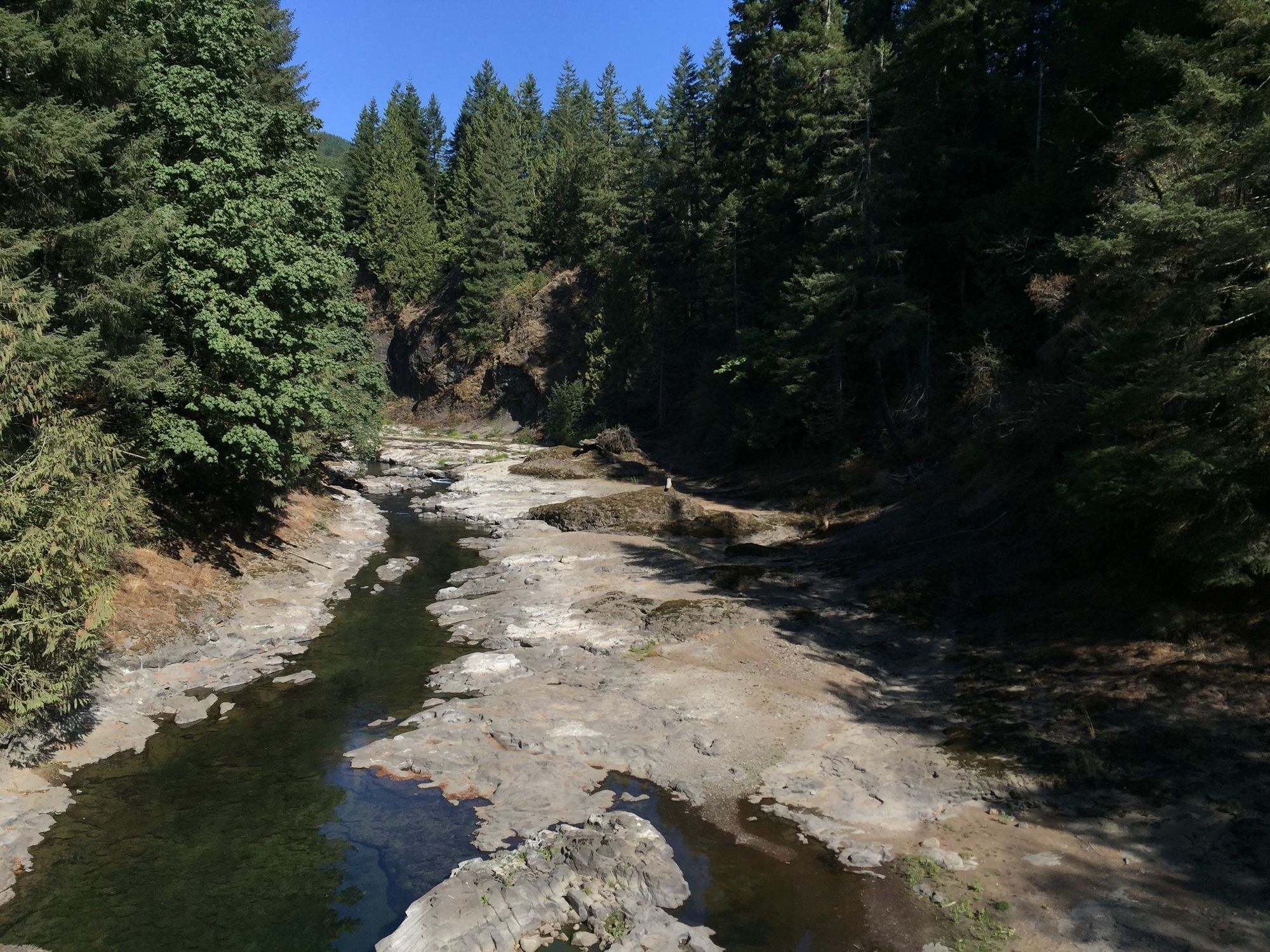
Chehalis River
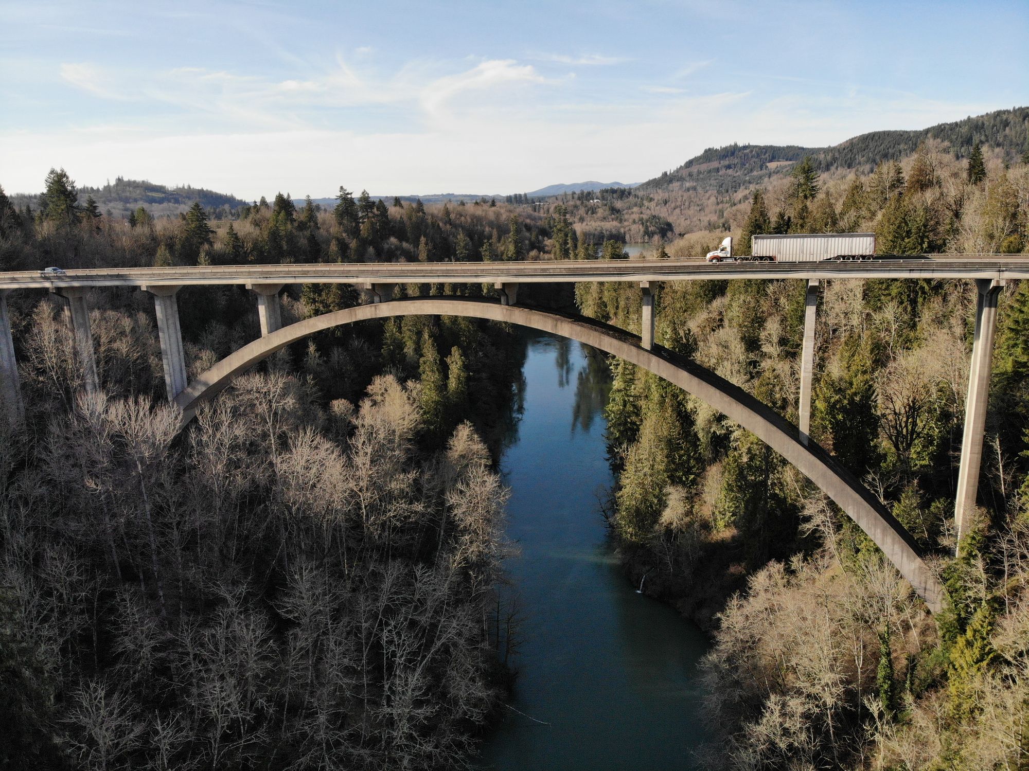
Cowlitz River
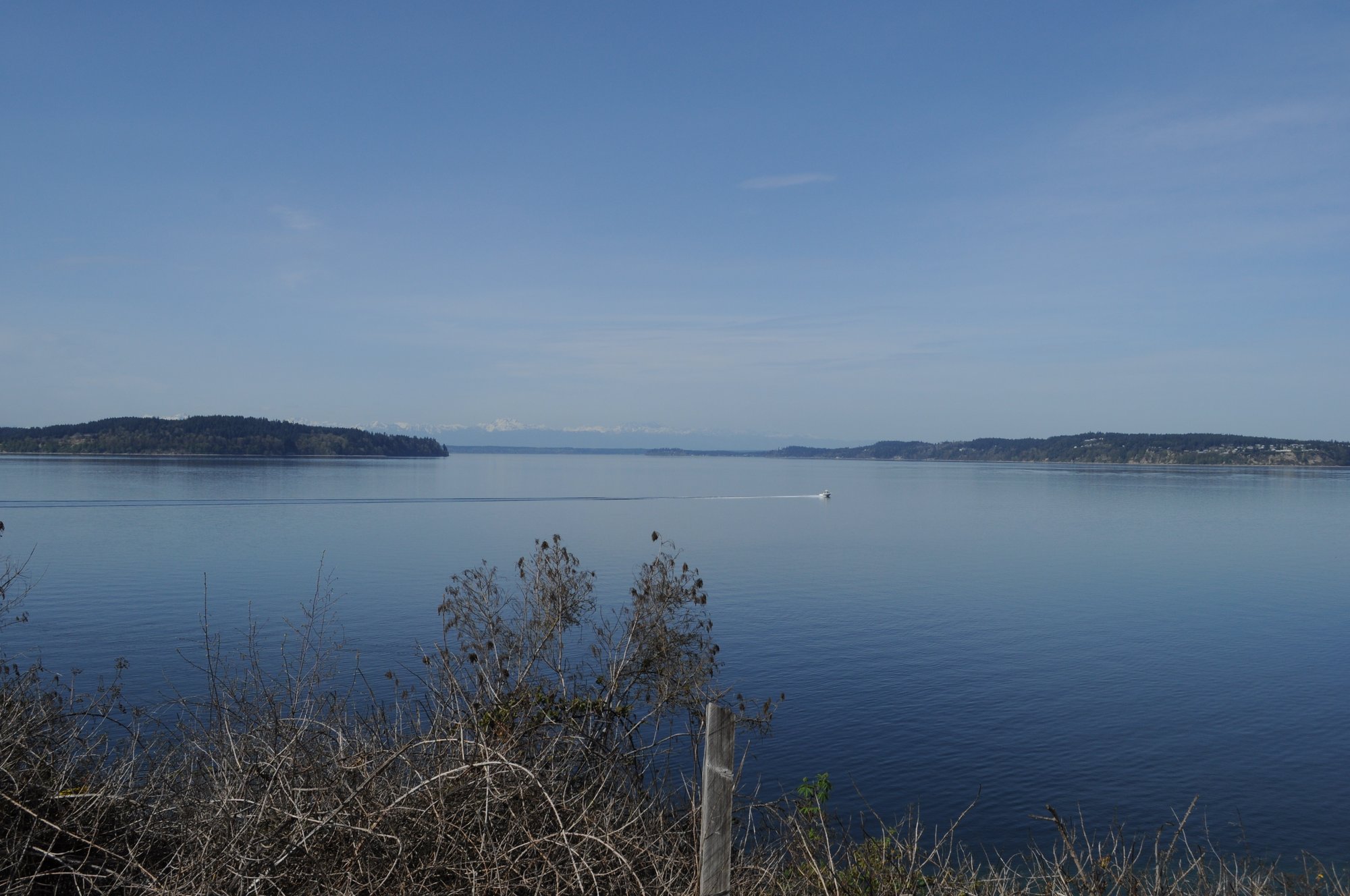
Carr Inlet
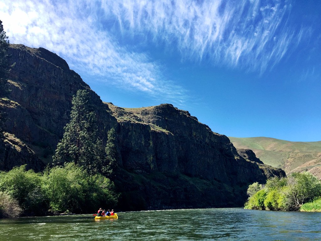
Yakima River
Explore Washington waters
Top paddling waters
Popular Cities
Loading popular cities...
Explore near Puyallup River
Access points
Nearby waters
More in Washington

Smarter Paddling Starts in the App.
Paddleways gives you everything you need to plan smarter, paddle better, and own every trip from first launch to takeout.