Nisqually Flats
- Saltwater
- Estuary
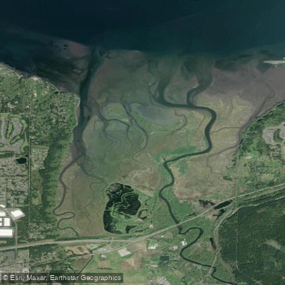
Nisqually Flats
- Saltwater
- Estuary
- Sq. miles
- 2.6
- Boat Ramps
- 0
- Access Points
- 0
- Campsites
- 0
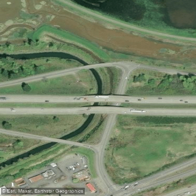
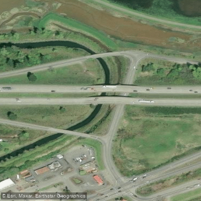
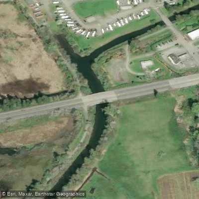
Nisqually Flats is a broad, shallow estuarine area forming part of the Nisqually Delta at the southern end of Puget Sound in Washington. It is characterized by expansive tidal flats and protected waterways, offering a paddling environment distinct from the more exposed open saltwater. The primary public boat launch for accessing the flats is the Washington Department of Fish and Wildlife (WDFW) ramp at Luhr Beach, which requires a WDFW Vehicle Use Permit for parking. This launch point experiences a significant tidal exchange, with a range that can be as much as 14 feet. Paddlers must plan carefully, as it may be impossible to return to the Luhr Beach ramp at an extreme low tide. The area is part of the Nisqually National Wildlife Refuge, and a boat speed restriction of 5 mph is in effect in all Refuge waters. The channels of McAllister Creek and the Nisqually River, which feed into the delta, are peaceful, protected, and excellent for dinghies, kayaks, and canoes. These waterways allow for travel well beyond Interstate 5 to the south. The flats themselves are exposed, and paddlers should beware of hazardous tides, shallow waters, wind, and weather conditions. A notable hazard is the potential to become stranded on sandbars, as evidenced by rescue incidents. The area features an active oyster farm southwest of the main anchorage, and boat traffic is frequently present there. A common day trip route involves launching from Luhr Beach and paddling northwest across the Nisqually Flats to Anderson Island, specifically to Carlson Bay and Andrew Anderson Marine Park, a distance of approximately 10.6 nautical miles. The wreck of the WWII-era wooden tug Tsar lies off the tiny Beachcrest marina and is accessible only on higher tides. Wildlife is abundant, with many seals and a great variety of birds due to the area's status as a bird sanctuary. Historical remnants, including bits of old dikes and buildings, can be seen along the shore.
Water access, boat ramps & amenities
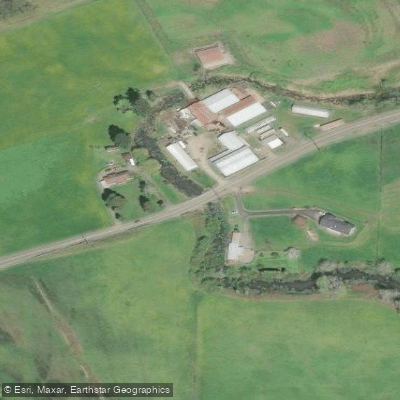
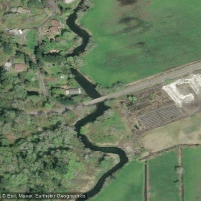
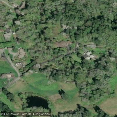
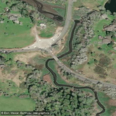
Learn how to get on Nisqually Flats. Uncover great paddling access points, boat ramps, and all the facilities you need for an unforgettable day on the water. Some locations shown may border or include private property. Always check property boundaries and applicable regulations before visiting. PaddleWays's Public & Private Land layer can help you plan your access with confidence.
Paddle smarter with real-time insights
Whether you're en route and conditions shift or you're looking for the best spot based on current flows, we enable you to make informed decisions on the fly.








Find Places to Paddle

Over 400,000 Places to Paddle
Every user gets free access to launch points, boat ramps, and public property parcels.


Tides, wind & water conditions (10 day forecast)
On open water, wind and tide matter as much as the weather. See the best times to paddle Nisqually Flats and check the marine forecast before you launch.
Loading tide predictions…
Paddling near Nisqually Flats
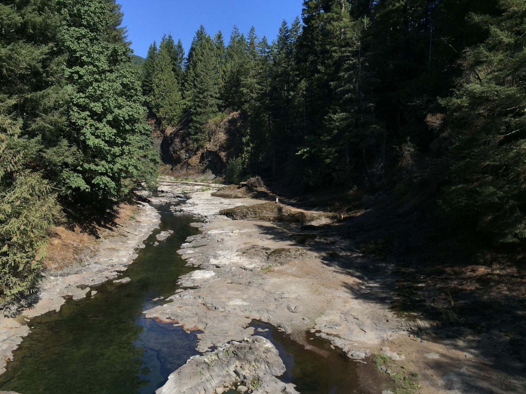
Chehalis River
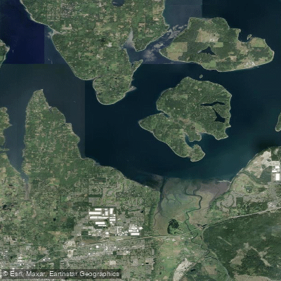
Nisqually Reach

Lake Washington
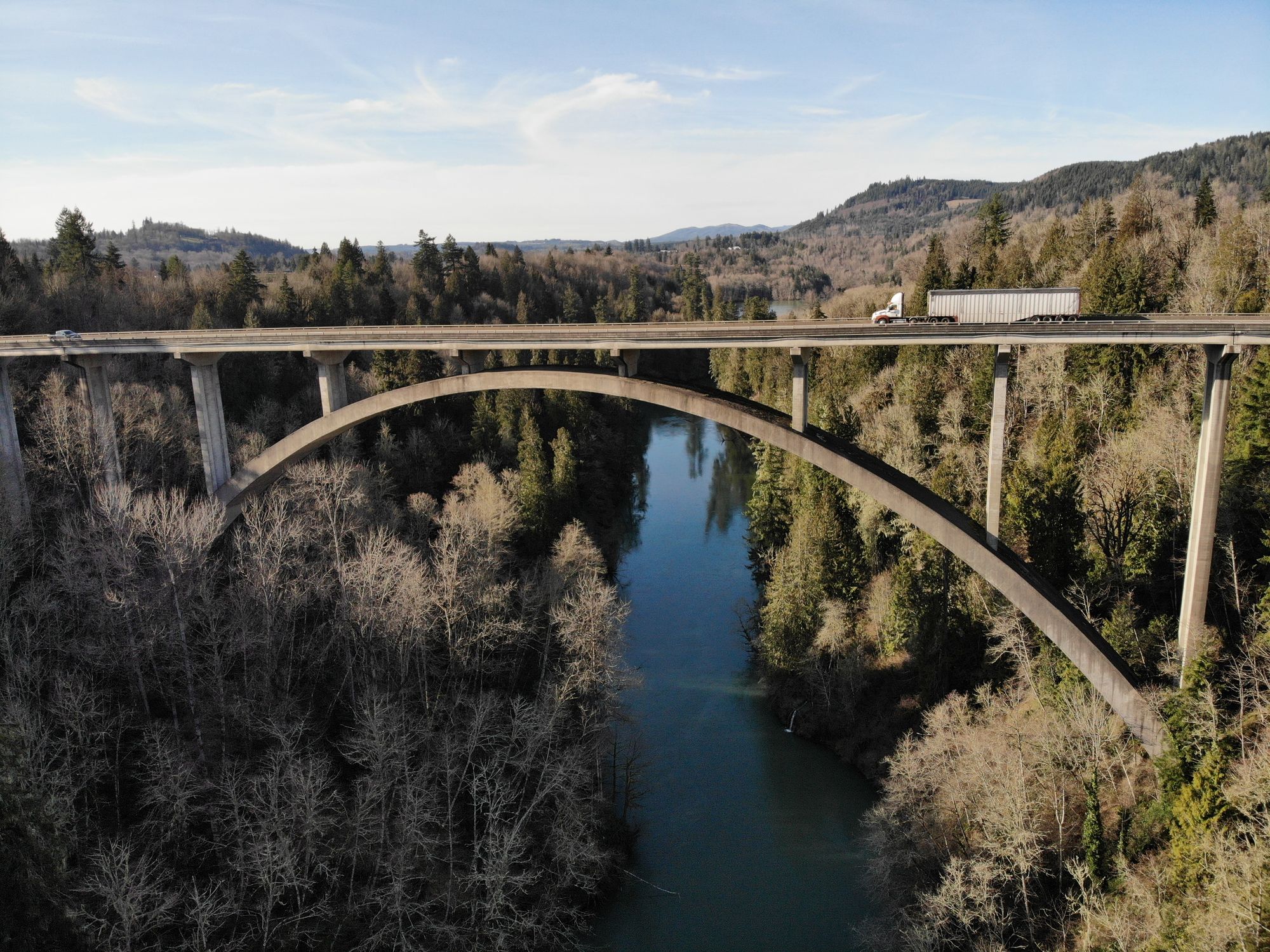
Cowlitz River
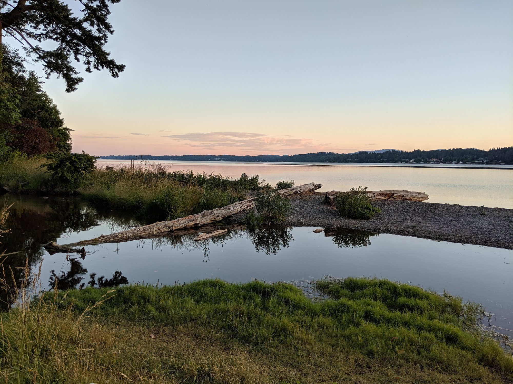
Budd Inlet
Cedar River
Nisqually River
Case Inlet
Ward Lake
Explore Washington waters
Top paddling waters
Popular Cities
Loading popular cities...
Explore near Nisqually Flats
Access points
Nearby waters
More in Washington

Smarter Paddling Starts in the App.
Paddleways gives you everything you need to plan smarter, paddle better, and own every trip from first launch to takeout.