Curated by PaddleWays
RouteClass IV–V
- Distance
- 11.6 mi
- Paddle time
- ~3 hrs
- Best for
- Experienced paddlers
- Put-in → take-out
- Spada Reservoir Access → Powerhouse Access
Unpredictable wood hazards and unportageable canyon
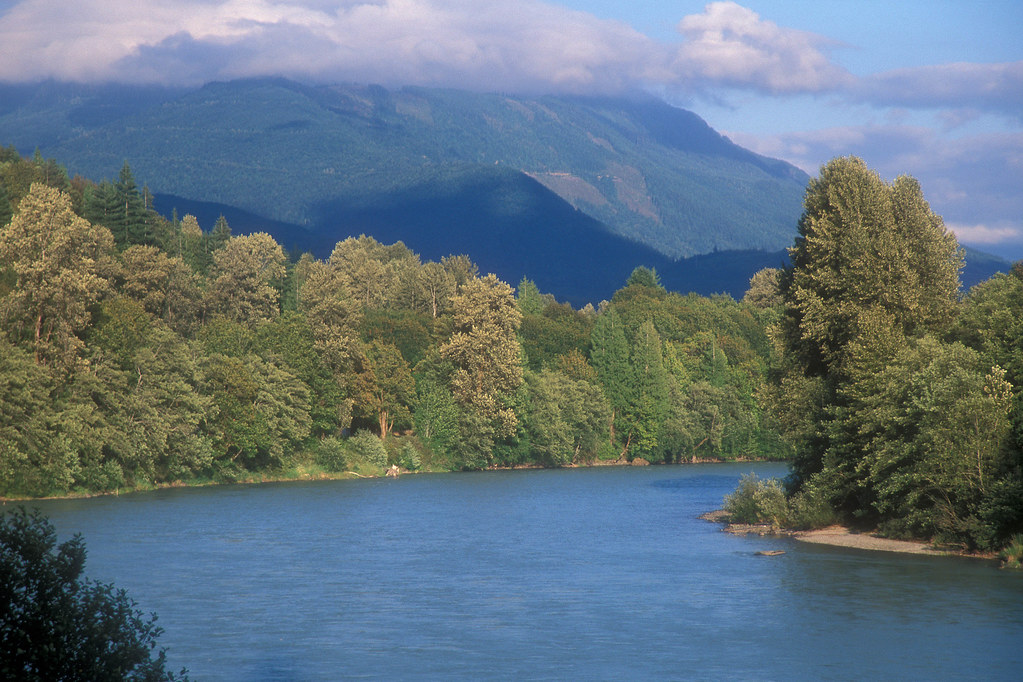
The Sultan River is a scenic waterway in Snohomish County, Washington, originating in the Cascade Mountains and flowing southwest to join the Skykomish River near the town of Sultan. This 36-mile river drains a watershed of approximately 86 square miles, fed by numerous small tributaries descending from the surrounding peaks.
For whitewater enthusiasts, the Sultan River offers two distinct paddling sections. The Upper Sultan, a challenging 16-mile run from Spada Reservoir to the powerhouse, is renowned as one of the region's premier whitewater experiences. This remote Class IV (with potential for V-V+ in certain conditions) section flows through a beautiful, tight-walled canyon with technical rapids and potential wood hazards. Access is highly limited, with paddling opportunities typically occurring only during reservoir overflow events or extremely heavy rains.
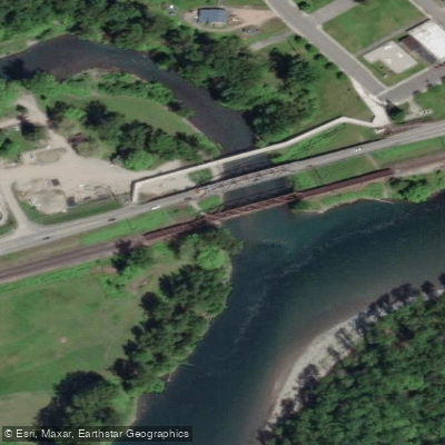
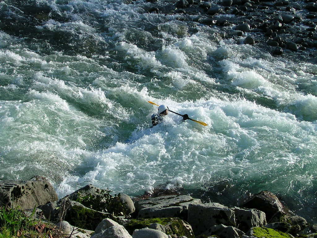
The Lower Sultan provides a more accessible 2-mile Class III-IV+ run from the powerhouse to a fishing access point. This section features boulder gardens and technical drops, including the notable Class IV+ rapid Last Nasty. While shorter, it offers a good balance of challenge and enjoyment for skilled paddlers.
Flow on both sections is regulated by the Culmback Dam and associated hydroelectric project. The Upper Sultan sees scheduled releases a couple times per year, while the Lower Sultan's flow is more consistent but still dependent on dam operations. Recommended levels for the Lower Sultan range from 500 to 3000 cfs.
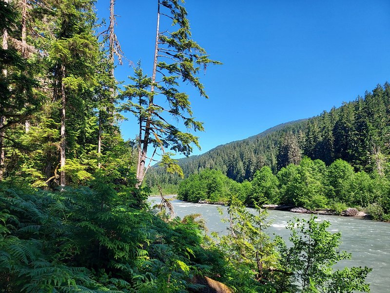
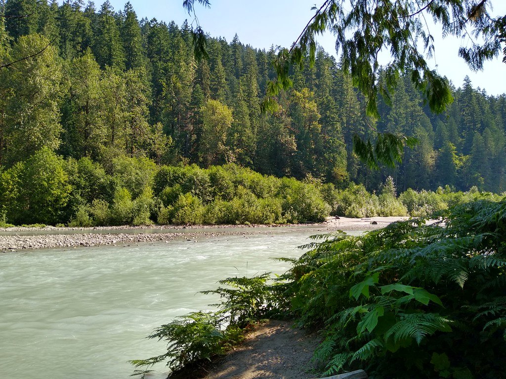
Paddlers should be prepared for a densely forested river corridor typical of the western Cascades, with potential sightings of wildlife like black bears, deer, and various bird species. The river's cold, clear waters also support populations of salmon and trout.
Access to the Upper Sultan is extremely limited and requires careful planning. The Lower Sultan's put-in is near the powerhouse, with a locked gate closing access at 6:00 PM daily. The nearby town of Sultan serves as the primary access point for services and supplies.
Safety considerations include cold water, potential wood hazards, and the remote nature of the Upper section. Paddlers should be skilled in whitewater rescue techniques and carry appropriate safety gear. The river's flow is closely tied to hydroelectric operations, so checking current conditions and release schedules is crucial. While primarily a day-trip destination, the Sultan River's challenging whitewater and beautiful scenery make it a valued resource for skilled paddlers in the Pacific Northwest.
Curated routes
Hand-picked by the PaddleWays team, with put-ins, take-outs, paddle times and the hazards along the way.
RouteClass IV–V
Hazards
No paddler has reported a hazard here yet, so these are the dams, falls and big rapids on our map. Hazards change with flows and storms, so check them before you launch.
From the community
Nobody has shared a trip on Sultan River yet. Paddle it, then tell the next paddler how it went.
See exactly where the public can get on and off the river. Launch points and boat ramps are paired with PaddleWays' public land data so you know where you can legally land.
Public shoreline
41%of the river's shoreline is public
Most of the riverbank is private. Launch, land and camp only at public access points.
Flows, weather and a route-by-route verdict, so you know which stretch of the Sultan River is worth paddling today.
All Flow Stations
Live flows, marked hazards and fresh trip reports from paddlers who were just on the water, all in one place.





Every user gets free access to launch points, boat ramps, and public property parcels.
Loading popular cities...
PaddleWays gives you everything you need to plan smarter, paddle better, and own every trip from first launch to takeout.