Willapa Bay
- Saltwater
- Bay
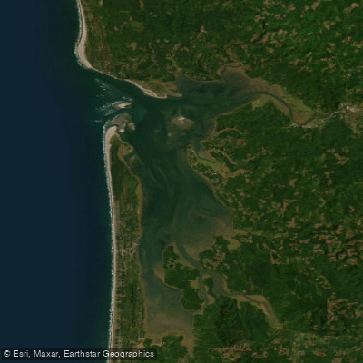
Willapa Bay
- Saltwater
- Bay
- Sq. miles
- 142
- Boat Ramps
- 8
- Access Points
- 4
- Campsites
- 10
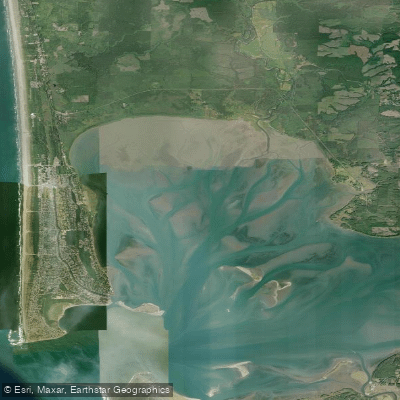
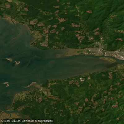
Willapa Bay is a large, shallow coastal bay in southwest Washington, protected from the Pacific Ocean by the Long Beach Peninsula. Its character is dominated by extensive tidal mudflats, with approximately half of the bay's water draining out at low tide. This creates a critical safety consideration for paddlers, as becoming stranded on the flats far from shore is a serious hazard. The tidal range is extreme, from -2 feet to +12 feet, and it is recommended to head for shore when the tide drops to the 5-foot level to avoid being stuck. Navigating the bay requires careful tide planning; the window for safe paddling, particularly for crossing to Long Island or going up the Naselle River, varies from three hours during low neap tides to four or five hours during high spring tides. Tides in the southern half of the bay are approximately one hour later than for coastal beaches, with Tongue Point, Oregon, being a reliable reference. The best strategy for exploring the bay's seven tidal rivers and creeks, such as the Naselle or Willapa, is to paddle upstream with the flood current and return on the ebb.
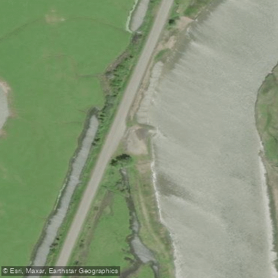
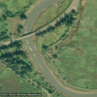
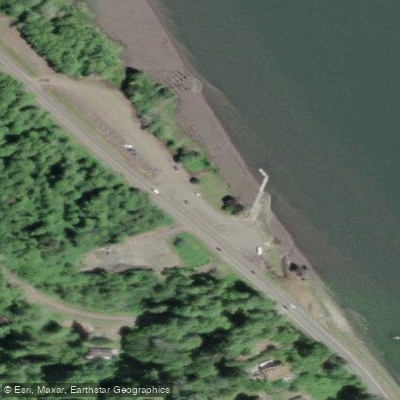
Multiple public launch sites provide access. Key points include the Tokeland Marina, Smith Creek bridge, a boat ramp on Highway 101 near the south end of Long Island, the Nahcotta Mooring Basin, and facilities in Raymond and South Bend. South Bend has a city dock and a boat launch, though the dock can be high and dry at extreme low water. The Port of Willapa Harbor in Tokeland offers a boat ramp. Paddlers should be prepared for variable conditions. While the bay's waters are often protected, high winds can create dangerous chop, especially when crossing the main channel. The water remains cold year-round, typically in the 50s, necessitating appropriate attire regardless of air temperature. Boat traffic is present, and sharp oyster beds, which are mostly privately owned, pose a hazard to hulls and bare feet. The area is rich in wildlife, including great blue herons, bald eagles, harbor seals, river otters, and migratory shorebirds, with elk and deer sometimes seen along the shorelines. Long Island, one of the largest uninhabited islands on the mainland West Coast, is a notable destination with a trail system and a few designated campsites, accessible via a quarter-mile paddle from the Highway 101 launch. The overall experience is one of remote, ever-changing scenery shaped decisively by the tides, requiring self-reliance and thorough preparation from those who explore it.
Water access, boat ramps & amenities
Learn how to get on Willapa Bay. Uncover great paddling access points, boat ramps, and all the facilities you need for an unforgettable day on the water. Some locations shown may border or include private property. Always check property boundaries and applicable regulations before visiting. PaddleWays's Public & Private Land layer can help you plan your access with confidence.
Paddle smarter with real-time insights
Whether you're en route and conditions shift or you're looking for the best spot based on current flows, we enable you to make informed decisions on the fly.








Find Places to Paddle

Over 400,000 Places to Paddle
Every user gets free access to launch points, boat ramps, and public property parcels.


Tides, wind & water conditions (10 day forecast)
On open water, wind and tide matter as much as the weather. See the best times to paddle Willapa Bay and check the marine forecast before you launch.
Loading tide predictions…
Paddling near Willapa Bay

Explore Washington waters
Top paddling waters
Popular Cities
Loading popular cities...
Explore near Willapa Bay
Access points
Nearby waters
More in Washington

Smarter Paddling Starts in the App.
Paddleways gives you everything you need to plan smarter, paddle better, and own every trip from first launch to takeout.