Wishkah River
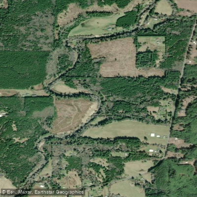
Wishkah River
- Boat Ramps
- 1
- Access Points
- 3
- Campsites
- 0
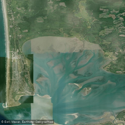
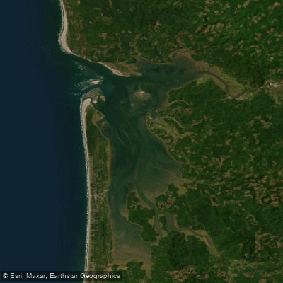
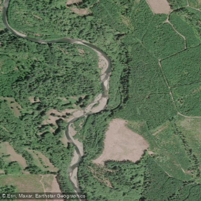
The Wishkah River, a modest yet significant waterway in southwestern Washington, originates in the foothills of the Olympic Mountains and flows southward for approximately 40 miles before joining the Chehalis River in Aberdeen. This river system drains a watershed of dense coastal forests and contributes to the greater Grays Harbor estuary. Paddling opportunities on the Wishkah range from serene flatwater sections to gentle Class I rapids, making it suitable for a variety of skill levels.
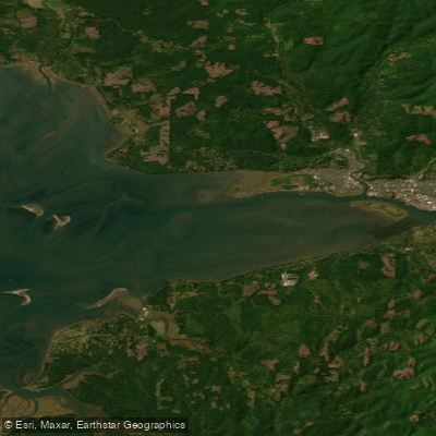
The river offers two primary paddling sections: the Upper Wishkah, which winds through quiet, forested areas and historic logging towns, and the Lower Wishkah, stretching from Long Swamp to the river's mouth in Aberdeen. The 7-mile Lower Wishkah section, from Long Swamp Boat Launch to the confluence with the Chehalis, provides an interesting urban paddling experience. A notable feature is the mile-long steel flood wall in Aberdeen, built between the road and the river. Tidal influences are significant in this lower stretch, with rising tides aiding upstream travel.
Seasonal patterns heavily influence paddling conditions. Winter and spring typically offer higher water levels, while summer and early fall provide more stable, lower flows. The river is generally paddleable year-round, but late spring to early fall offers the most comfortable conditions.
Wildlife viewing is a highlight, with opportunities to spot various bird species, river otters, and potentially salmon during spawning seasons. The surrounding riparian zones host a mix of native conifers and deciduous trees typical of the Pacific Northwest coastal forests.
Key access points include the Long Swamp Boat Launch, located about 7 miles upstream from the mouth, and a park at Second and Stanton in Aberdeen, dedicated in 2015, which serves as a convenient take-out point just a mile from the river's mouth.
The Wishkah River holds significant historical and cultural importance, flowing through the heart of Aberdeen, famously known as the hometown of Kurt Cobain. The river and its valley have been central to the region's logging industry, shaping the development of local communities.
Safety considerations include being aware of tidal influences, potential logjams in the upper sections, and the urban environment of the lower river. Paddlers should check current conditions and be prepared for changing water levels. While primarily suitable for day trips, the Wishkah's connection to the broader Grays Harbor water system offers possibilities for multi-day expeditions for experienced paddlers willing to explore the interconnected rivers and sloughs of the region.
Water access, boat ramps & amenities
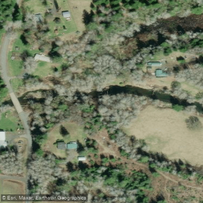
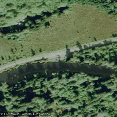
Learn how to get on Wishkah River. Uncover great paddling access points, boat ramps, and all the facilities you need for an unforgettable day on the water. Some locations shown may border or include private property. Always check property boundaries and applicable regulations before visiting. PaddleWays's Public & Private Land layer can help you plan your access with confidence.
Paddle smarter with real-time insights
Whether you're en route and conditions shift or you're looking for the best spot based on current flows, we enable you to make informed decisions on the fly.








Find Places to Paddle

Over 400,000 Places to Paddle
Every user gets free access to launch points, boat ramps, and public property parcels.


Water and weather conditions (10 day forecast)
See the best times to paddle Wishkah River and check the forecast before you go.
Wishkah R. nr Nisson

Explore Washington waters
Top paddling waters
Popular Cities
Loading popular cities...
Explore near Wishkah River
Access points
Nearby waters
More in Washington

Smarter Paddling Starts in the App.
Paddleways gives you everything you need to plan smarter, paddle better, and own every trip from first launch to takeout.