Curated by PaddleWays
RouteClass II
- Distance
- 18.7 mi
- Paddle time
- ~6 hrs
- Best for
- Kayak
- Put-in → take-out
- Cedar Lakes Access → Cottageville Boat Ramp
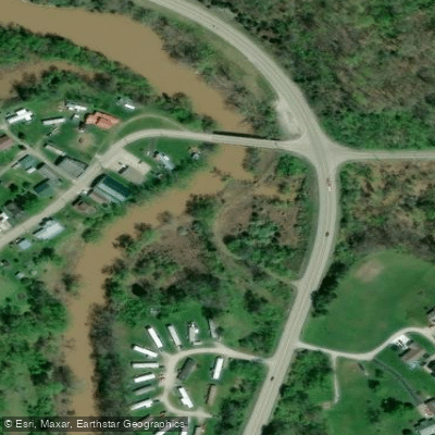
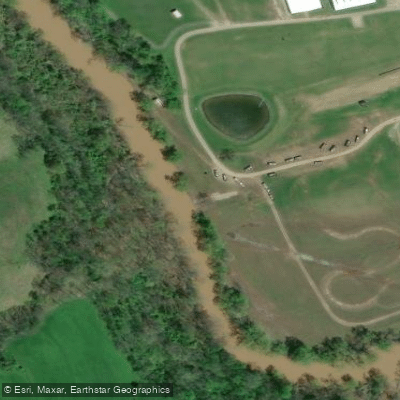
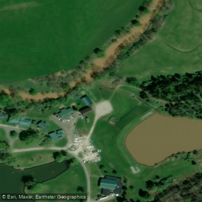
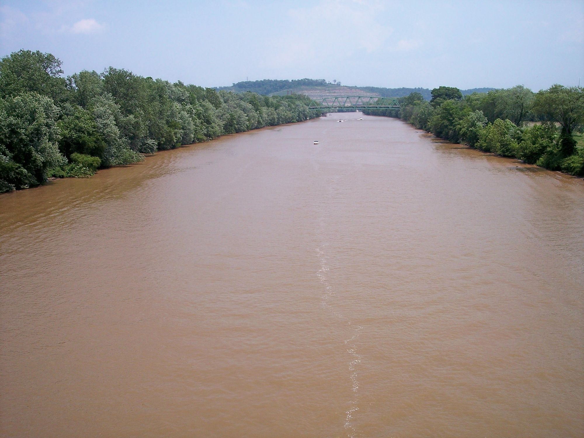
Mill Creek originates in the highlands of Jackson County, West Virginia, flowing approximately 21-22 miles southward through the county before joining the Ohio River at Millwood. The waterway winds through the town of Ripley, the county seat, and passes several communities including Evans and Cottageville, creating a scenic corridor through western West Virginia's rolling landscape.
The Mill Creek Water Trail offers paddlers a complete flatwater to Class I experience spanning the creek's length from Cedar Lakes Conference Center south of Ripley to the Ohio River confluence at Millwood. The trail divides into five manageable segments: Cedar Lakes to Ripley Water Plant (3.8 miles), Ripley to Rollins Lake Wildlife Management Area (7.5 miles), Rollins Lake to Jackson County Fairgrounds (8.14 miles), Jackson County Fairgrounds to Cottageville (1.15 miles), and Cottageville to the Mill Creek Public Access Area near Millwood (2.6 miles). These sections consist primarily of flatwater pools with occasional moving water, making the creek accessible to novice paddlers and families while still providing engaging paddling for experienced boaters.
The creek flows through a mix of forested rural farmland and small towns, with the Mill Creek Watershed System incorporating several fishing lakes including Elk Fork Lake, Frozen Camp Lake, O'Brien Lake, and Wiblin Fork Lake within 20 miles of Ripley. Rollins Lake, located near Evans, serves as both a paddling access point and fishing destination. The waterway supports populations of bass, muskie, and various other warmwater species, while the surrounding lands provide habitat for deer, wild turkey, grouse, rabbit, squirrel, and waterfowl.
Six primary access points serve paddlers along the creek: Cedar Lakes Conference Center, Ripley Water Plant, Rollins Lake WMA, Jackson County Fairgrounds, Cottageville, and the Mill Creek Public Access Area near Millwood at the Ohio River. All access points lie within Jackson County, with Ripley serving as the central hub for services and information. The creek is easily reached from Interstate 77, with exits at 132, 138, and 146 providing convenient access to different sections.
Paddling conditions remain optimal during spring and early summer when water levels support consistent flow through the shallow sections. At lower water levels, some reaches may require portaging. The gentle gradient and pool-and-riffle structure make Mill Creek suitable for multi-day trips, with the full 21-mile route feasible as an overnight journey for paddlers seeking an extended experience on this western West Virginia waterway. The Mill Creek Alliance and Friends of Mill Creek maintain the water trail and provide current conditions information for those planning trips on this accessible Jackson County resource.
Curated routes
Hand-picked by the PaddleWays team, with put-ins, take-outs, paddle times and the hazards along the way.
RouteClass II
Hazards
No paddler has reported a hazard here yet, so these are the dams, falls and big rapids on our map. Hazards change with flows and storms, so check them before you launch.
From the community
Nobody has shared a trip on Mill Creek yet. Paddle it, then tell the next paddler how it went.
See exactly where the public can get on and off the river. Launch points and boat ramps are paired with PaddleWays' public land data so you know where you can legally land.
Public shoreline
2%of the river's shoreline is public
Most of the riverbank is private. Launch, land and camp only at public access points.
Flows, weather and a route-by-route verdict, so you know which stretch of the Mill Creek is worth paddling today.
No forecast data available.
Live flows, marked hazards and fresh trip reports from paddlers who were just on the water, all in one place.





Every user gets free access to launch points, boat ramps, and public property parcels.



Loading popular cities...
PaddleWays gives you everything you need to plan smarter, paddle better, and own every trip from first launch to takeout.