Coega (Ngqurha)
- Saltwater
- Estuary
Coega (Ngqurha)
- Saltwater
- Estuary
- Sq. miles
- 1.7
- Boat Ramps
- 0
- Access Points
- 0
- Campsites
- 0
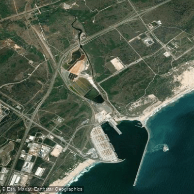
Coega (Ngqurha) is a major artificial deepwater port situated at the mouth of the Coega River within Nelson Mandela Bay, also known as Algoa Bay. The port is sheltered by two substantial breakwaters, with the main eastern breakwater extending 2.7 kilometers into the bay, making it the longest in South Africa. This infrastructure creates a large, protected basin primarily designed for commercial shipping, including post-Panamax container vessels and large bulk carriers. For paddlers, this means the water body is dominated by significant industrial maritime activity. The port's layout was influenced by environmental considerations, including a paleochannel that provides natural depth and a 500-meter exclusion zone around the offshore Jahleel Island to protect marine and birdlife. The port features a fixed jet pump sand bypass system to manage coastal sand drift. Given its primary function as a commercial transhipment hub with ongoing operations and development, recreational paddling within the port area is likely to be highly restricted or prohibited due to safety and security regulations. The area's character is defined by large-scale industrial infrastructure rather than natural or recreational features suitable for kayaking or stand-up paddleboarding. There are no details available regarding public access points, launch sites, or amenities for paddlers, which strongly suggests this is not a venue for recreational watercraft.
Water access, boat ramps & amenities
Learn how to get on Coega (Ngqurha). Uncover great paddling access points, boat ramps, and all the facilities you need for an unforgettable day on the water. Some locations shown may border or include private property. Always check property boundaries and applicable regulations before visiting. PaddleWays's Public & Private Land layer can help you plan your access with confidence.
Paddle smarter with real-time insights
Whether you're en route and conditions shift or you're looking for the best spot based on current flows, we enable you to make informed decisions on the fly.







Eastern Cape licenses and regulations

Find Places to Paddle

Over 400,000 Places to Paddle
Every user gets free access to launch points, boat ramps, and public property parcels.


Tides, wind & water conditions (10 day forecast)
On open water, wind and tide matter as much as the weather. See the best times to paddle Coega (Ngqurha) and check the marine forecast before you launch.
Loading tide predictions…
Paddling near Coega (Ngqurha)
Swartkops
Sondags
Algoa Bay
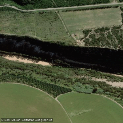
Gamtoos
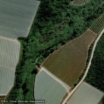
Klein
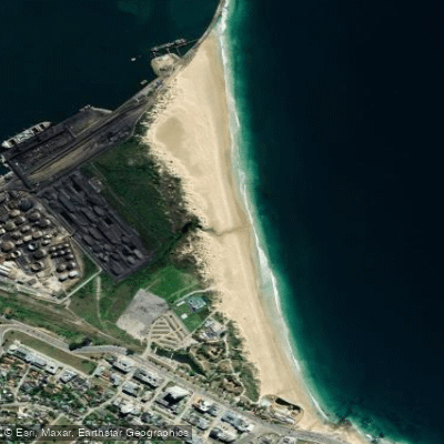
King's Beach
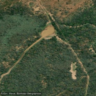
Kariega
Krom
Papkuils
Kabeljous
Explore Eastern Cape waters
Top paddling waters
No waters available right now.
Popular Cities
Loading popular cities...

Smarter Paddling Starts in the App.
Paddleways gives you everything you need to plan smarter, paddle better, and own every trip from first launch to takeout.