Sol Plaatjie (Saulspoort) Dam
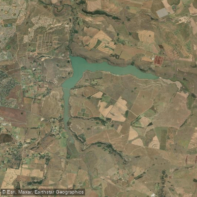
Sol Plaatjie (Saulspoort) Dam
- Boat Ramps
- 0
- Access Points
- 0
- Campsites
- 0
Sol Plaatje Dam, formerly known as Saulspoort Dam, is an earth-fill reservoir situated at the confluence of the As and Liebenbergsvlei Rivers, approximately 10 kilometres northwest of Bethlehem in the Free State province of South Africa. Constructed in 1968 and operated by the Department of Water Affairs and Forestry, the dam has a total storage capacity of 15,676,000 cubic metres and covers a surface area of 356 hectares (880 acres). The dam wall stands 19 metres high and 70 metres in length. The reservoir receives augmented inflows from the Lesotho Highlands Water Project via the As River, which contributes to relatively consistent water levels.
The dam serves primarily as a municipal and domestic water supply source for the Bethlehem region, and its hazard potential has been officially ranked as high. Paddlers should be aware of this designation and exercise appropriate caution. The access roads to the dam area include an unlit gravel path leading to a jetty — a feature that contributed to the tragic bus disaster of 1 May 2003, in which 51 people drowned when a bus drove off the jetty into the water. This incident led to the dam's renaming in 2005. The presence of jetty infrastructure and potentially unmarked or ungated access points near the water's edge are safety considerations worth noting.
Water sports, including paddling, are reported as popular activities on the dam. The surrounding area sits at an elevation of approximately 1,700 metres above sea level, with an annual rainfall of around 1,020 mm. The eastern Free State experiences a rainy season during which rivers and dams can rise significantly, while the broader landscape consists of agricultural terrain and grassy plains typical of the region. Fish species recorded in the dam include common carp, largemouth black bass, smallmouth yellowfish, North African catfish, and grass carp, reflecting a mixed aquatic environment. The nearby Liebenbergsvlei River, which feeds into the dam, offers additional paddling opportunities with grades ranging from 1 to 2 over approximately 45 kilometres.
Water access, boat ramps & amenities
Learn how to get on Sol Plaatjie (Saulspoort) Dam. Uncover great paddling access points, boat ramps, and all the facilities you need for an unforgettable day on the water. Some locations shown may border or include private property. Always check property boundaries and applicable regulations before visiting. PaddleWays's Public & Private Land layer can help you plan your access with confidence.
Paddle smarter with real-time insights
Whether you're en route and conditions shift or you're looking for the best spot based on current flows, we enable you to make informed decisions on the fly.








Find Places to Paddle

Over 400,000 Places to Paddle
Every user gets free access to launch points, boat ramps, and public property parcels.


Water and weather conditions (10 day forecast)
See the best times to paddle Sol Plaatjie (Saulspoort) Dam and check the forecast before you go.
No forecast data available.
Paddling near Sol Plaatjie (Saulspoort) Dam
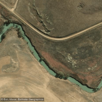
Liebenbergsvlei
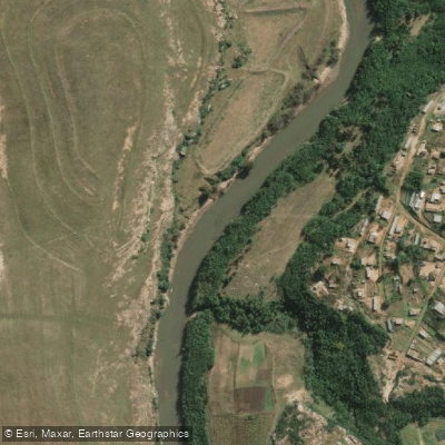
Caledon
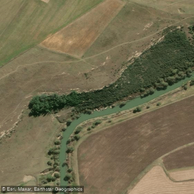
Wilge
Swartspruit
Meulspruit
Loch Athlone
Sterkfontein
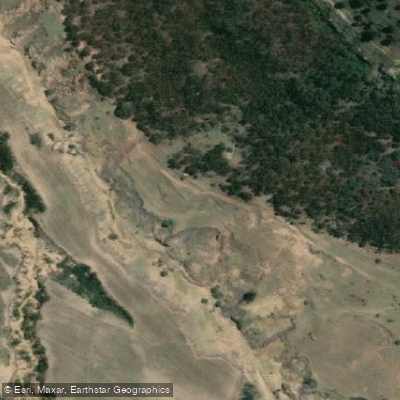
Mofogoi
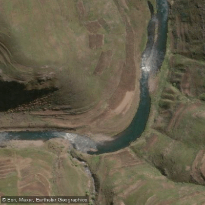
Malibamatso
Explore Free State waters
Top paddling waters
No waters available right now.
Popular Cities
Loading popular cities...
Explore near Sol Plaatjie (Saulspoort) Dam
Nearby waters
More in Free State

Smarter Paddling Starts in the App.
Paddleways gives you everything you need to plan smarter, paddle better, and own every trip from first launch to takeout.