Bahía Falsa
- Saltwater
- Bay
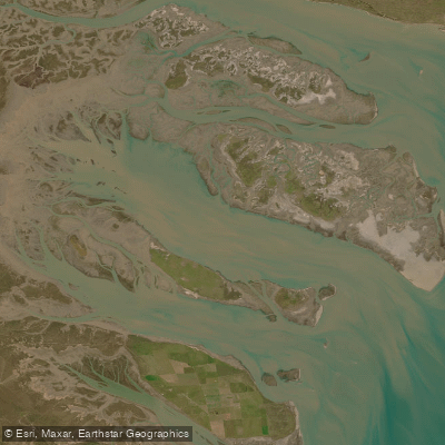
Bahía Falsa
- Saltwater
- Bay
- Sq. miles
- 81
- Boat Ramps
- 0
- Access Points
- 0
- Campsites
- 0
Bahía Falsa is a major tidal channel within the expansive Bahía Blanca Estuary system in Buenos Aires Province, Argentina. It is a core component of the Bahía Blanca, Bahía Falsa, and Bahía Verde Natural Reserve, a protected area exceeding 210,000 hectares. The estuary is characterized by extensive tidal mudflats and salt marshes, dissected by countless tidal channels, with Bahía Falsa running roughly northwest to southeast. The coastline here is part of a large coastal system covering approximately 2,500 square kilometers. The region has a warm and humid climate. Paddlers can access the area from near the city of Bahía Blanca, approximately 15 kilometers away, with road access via Ruta Nacional 3. The estuary is a significant wetland ecosystem aimed at the preservation of migratory shorebirds. Wildlife sightings from the water can include La Plata dolphins, Gray’s beaked whales, sea lions, penguins, and extensive birdlife such as seagulls, black skimmers, herons, flamingos, and cormorants. The area offers a world of adventure and nature, with activities like kayaking and wind sailing being popular. Given the protected status and focus on ecosystem research, paddlers should anticipate regulations aimed at sustainable use and should practice catch-and-release if fishing. The vast, open nature of the channels and the presence of islands like Zuraitas, Bermejo, Trinidad, Embudo, Wood, and Ariadna suggest routes that tour these islands and navigate the connecting Embudo and Bermejo channels. The environment is one of wild nature, with a landscape defined by its unique geographic and biological features as a coastal wetland.
Water access, boat ramps & amenities
Learn how to get on Bahía Falsa. Uncover great paddling access points, boat ramps, and all the facilities you need for an unforgettable day on the water. Some locations shown may border or include private property. Always check property boundaries and applicable regulations before visiting. PaddleWays's Public & Private Land layer can help you plan your access with confidence.
Paddle smarter with real-time insights
Whether you're en route and conditions shift or you're looking for the best spot based on current flows, we enable you to make informed decisions on the fly.







Buenos Aires licenses and regulations

Find Places to Paddle

Over 400,000 Places to Paddle
Every user gets free access to launch points, boat ramps, and public property parcels.


Tides, wind & water conditions (10 day forecast)
On open water, wind and tide matter as much as the weather. See the best times to paddle Bahía Falsa and check the marine forecast before you launch.
Loading tide predictions…
Paddling near Bahía Falsa
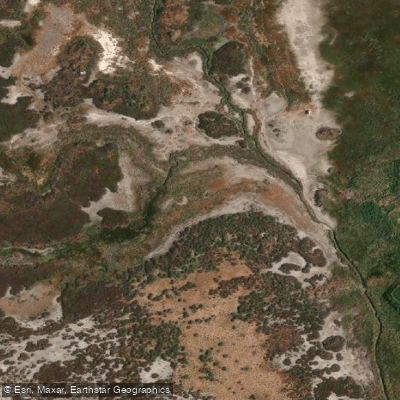
Arroyo Saladillo o Dulce
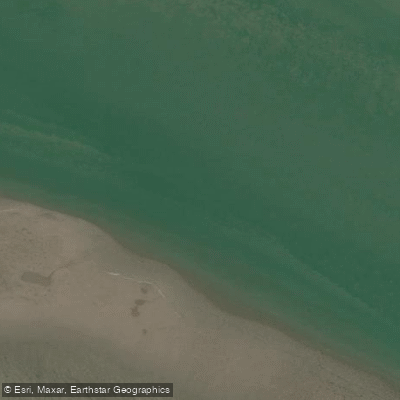
Estuario de la Bahía Blanca
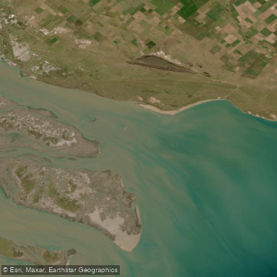
Bahía Blanca
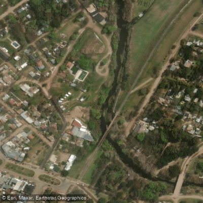
Arroyo Sauce Grande
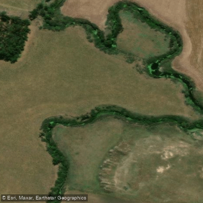
Río Sauce Grande
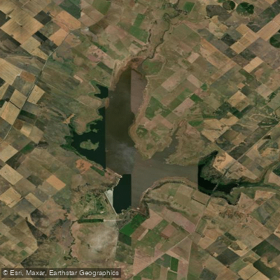
Embalse Paso de las Piedras
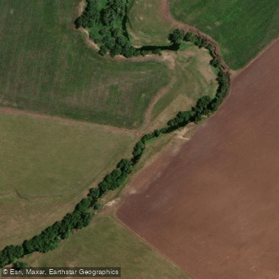
Arroyo El Negro
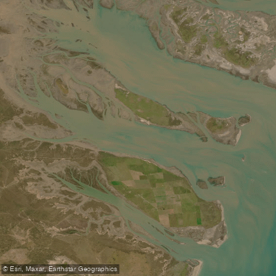
Bahía Verde
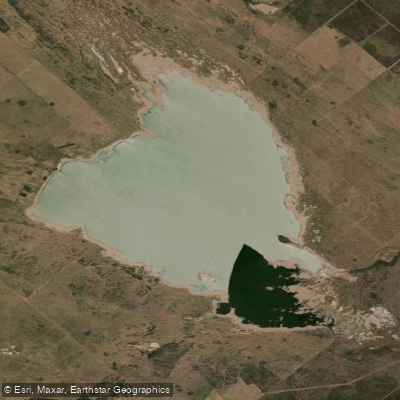
Laguna Chasicó
Explore Buenos Aires waters
Top paddling waters
No waters available right now.
Popular Cities
Loading popular cities...
Explore near Bahía Falsa

Smarter Paddling Starts in the App.
Paddleways gives you everything you need to plan smarter, paddle better, and own every trip from first launch to takeout.