Estuario de la Bahía Blanca
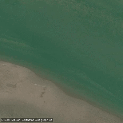
Estuario de la Bahía Blanca
- Boat Ramps
- 0
- Access Points
- 0
- Campsites
- 0
The Estuario de la Bahía Blanca is a vast tidal estuary located in the south of the Province of Buenos Aires, Argentina, covering roughly 300,000 hectares — making it the second largest estuary in the country after the Río de la Plata. The estuary sits approximately 15 kilometers from the city of Bahía Blanca and is accessible via Ruta Nacional 3 or by air through Comandante Espora Airport. The nearest coastal settlement with direct estuary access is Ingeniero White, though public access to the shoreline is largely limited to a few points along the northern coast.
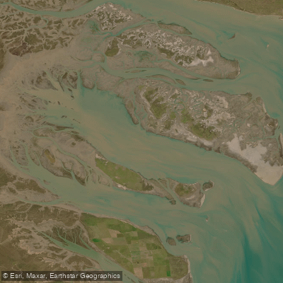
The character of the water is defined by tidal channels cutting through broad grey mudflats, with a mix of saltwater from the Atlantic and freshwater from smaller streams. The water is brown in color, and the shores are predominantly muddy rather than sandy. Tidal movement is a central feature of paddling here, and the landscape is flat and open, with the Pampas plain gradually submerging into the sea.
Kayaking is an established activity in the estuary, with routes running among the islands of Zuraitas, Bermejo, Trinidad, Embudo, Wood, and Ariadna, as well as their surrounding islets. The Embudo and Bermejo channels are noted paddling corridors. Visits are possible year-round, though appropriate gear is important: light-colored clothing, rubber boots, a hat, sunscreen, insect repellent, and waterproof clothing for water activities are all recommended.
A large portion of the estuary falls within the Bahía Blanca, Bahía Falsa, and Bahía Verde Natural Reserve, a protected area of over 210,000 hectares designated in part for the preservation of migratory shorebirds. The estuary supports an exceptional range of wildlife, including La Plata dolphins, Gray's beaked whales, flamingos, herons, cormorants, penguins, sea lions, and large flocks of black skimmers. On land, guanacos, foxes, and rheas are also present.
The estuary has been subject to more than a century of industrial and port activity, including commercial fishing, sewage discharge, and petrochemical operations, which have had documented environmental impacts. Paddlers should be aware of this industrial presence, particularly near Ingeniero White and the main shipping channels.
Water access, boat ramps & amenities
Learn how to get on Estuario de la Bahía Blanca. Uncover great paddling access points, boat ramps, and all the facilities you need for an unforgettable day on the water. Some locations shown may border or include private property. Always check property boundaries and applicable regulations before visiting. PaddleWays's Public & Private Land layer can help you plan your access with confidence.
Paddle smarter with real-time insights
Whether you're en route and conditions shift or you're looking for the best spot based on current flows, we enable you to make informed decisions on the fly.







Buenos Aires licenses and regulations

Find Places to Paddle

Over 400,000 Places to Paddle
Every user gets free access to launch points, boat ramps, and public property parcels.


Water and weather conditions (10 day forecast)
See the best times to paddle Estuario de la Bahía Blanca and check the forecast before you go.
No forecast data available.
Paddling near Estuario de la Bahía Blanca
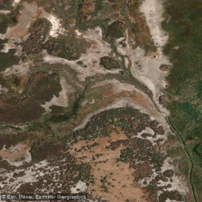
Arroyo Saladillo o Dulce
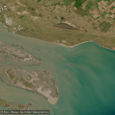
Bahía Blanca
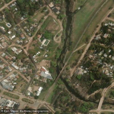
Arroyo Sauce Grande
Río Sauce Grande
Bahía Falsa
Embalse Paso de las Piedras
Arroyo El Negro
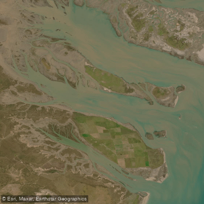
Bahía Verde
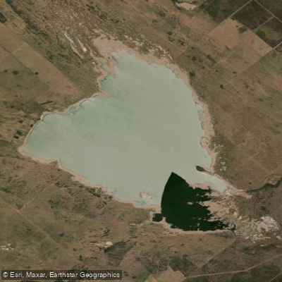
Laguna Chasicó
Explore Buenos Aires waters
Top paddling waters
No waters available right now.
Popular Cities
Loading popular cities...
Explore near Estuario de la Bahía Blanca

Smarter Paddling Starts in the App.
Paddleways gives you everything you need to plan smarter, paddle better, and own every trip from first launch to takeout.