Río Sauce Grande
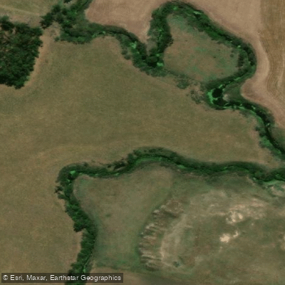
Río Sauce Grande
- Boat Ramps
- 0
- Access Points
- 0
- Campsites
- 0
The Río Sauce Grande originates at approximately 500 meters above sea level in the Sierra de la Ventana mountain range in southwestern Buenos Aires Province, Argentina, and flows generally eastward for roughly 200 kilometers before draining into Laguna Sauce Grande at about 8 meters above sea level, near the town of Monte Hermoso on the Atlantic coast. The river drains a basin of approximately 4,856 square kilometers, drawing water from the sierras of Curá Malal, Ventana, and De Las Tunas, and feeds the Paso de las Piedras reservoir, the most important source of drinking water for the surrounding region.
The upper reaches, within the Sierra de la Ventana area, offer more dynamic paddling with rapids and rocky riverbeds. Guided kayak expeditions operate in this section through the Parque Lineal del Sauce Grande, with routes running from Parador Los Angelitos to Saldungaray. One documented trip covers approximately 8 kilometers. Kayak rentals are available at Balneario Los Angelitos, where paddlers can access the clear waters of the river amid mountain scenery. The upper section is suitable for both novice and experienced paddlers, though rocky obstacles can pose challenges for fiberglass kayaks depending on water levels and hull type.
The middle and lower sections of the river transition to calmer, flatter terrain as the river crosses the Pampas toward the coast. The lower river exits Laguna Sauce Grande before reaching the Atlantic near Monte Hermoso. Sport fishing for pejerrey is permitted year-round in the reservoirs and lagoons along the river's course, with regulated catch limits.
The river passes through diverse landscapes including highland terrain, plains, and coastal areas. Wildlife observation is part of the paddling experience, particularly in the upper reaches. The nearby Parque Provincial Ernesto Tornquist offers additional access to the broader Ventania mountain system, with hiking trails running along river tributaries. The river's network includes over 20 tributaries, among them the Arroyo de Las Mostazas and Arroyo San Bernardo.
Water access, boat ramps & amenities
Learn how to get on Río Sauce Grande. Uncover great paddling access points, boat ramps, and all the facilities you need for an unforgettable day on the water. Some locations shown may border or include private property. Always check property boundaries and applicable regulations before visiting. PaddleWays's Public & Private Land layer can help you plan your access with confidence.
Paddle smarter with real-time insights
Whether you're en route and conditions shift or you're looking for the best spot based on current flows, we enable you to make informed decisions on the fly.







Buenos Aires licenses and regulations

Find Places to Paddle

Over 400,000 Places to Paddle
Every user gets free access to launch points, boat ramps, and public property parcels.


Water and weather conditions (10 day forecast)
See the best times to paddle Río Sauce Grande and check the forecast before you go.
No forecast data available.
Paddling near Río Sauce Grande
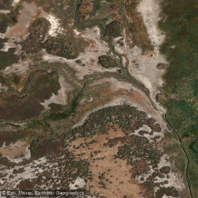
Arroyo Saladillo o Dulce
Estuario de la Bahía Blanca
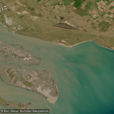
Bahía Blanca
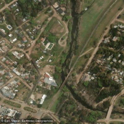
Arroyo Sauce Grande
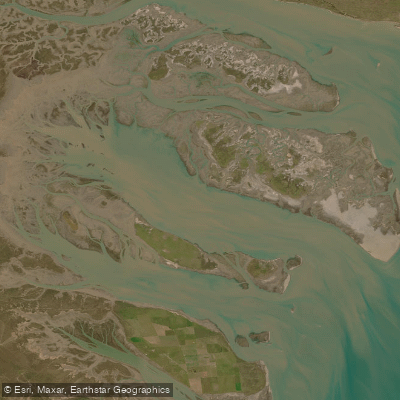
Bahía Falsa
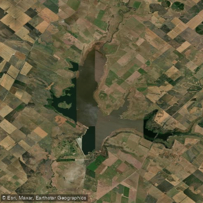
Embalse Paso de las Piedras
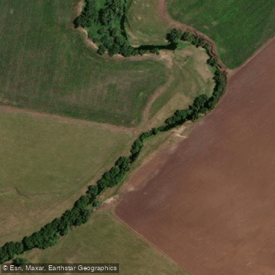
Arroyo El Negro
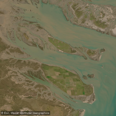
Bahía Verde
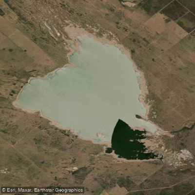
Laguna Chasicó
Explore Buenos Aires waters
Top paddling waters
No waters available right now.
Popular Cities
Loading popular cities...
Explore near Río Sauce Grande

Smarter Paddling Starts in the App.
Paddleways gives you everything you need to plan smarter, paddle better, and own every trip from first launch to takeout.