Laguna Chasicó
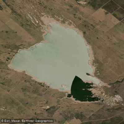
Laguna Chasicó
- Boat Ramps
- 0
- Access Points
- 0
- Campsites
- 0
Laguna Chasicó is a large endorheic lake located in the partido de Villarino, in the southwest of Buenos Aires province, roughly 80 kilometers from Bahía Blanca and about 700 kilometers from the city of Buenos Aires via Ruta Nacional 3 and Ruta Nacional 22. The lake covers approximately 130 square kilometers with an average depth of around 15 meters, and sits at an elevation of roughly 28 meters below sea level — making the surrounding settlement of Chapalcó the lowest point in Buenos Aires province. Its origin may be tectonic rather than typical lacustrine, the result of an ancient geological fracture, which contributes to its unusual depth and character relative to other pampas lakes.
The water is notably saline, with salinity levels that fluctuate significantly depending on rainfall patterns. During drought years, salinity rises sharply; during wetter periods it moderates. This variability has had a direct impact on the lake's ecology and, by extension, on water-based activities. Paddlers should be aware that the water's high mineral content gives it a distinctive quality different from freshwater lakes in the region.
The lake was declared a provincial nature reserve in 2000 and is managed under provincial law as a Reserva Natural Provincial de Objetivos Definidos Mixtos. The surrounding landscape is ecologically diverse, encompassing sand dunes, grasslands, caldén woodland, salt flats, and freshwater streams within a compact area. The lake has historically supported flamingo colonies attracted by the salinity and the small crustaceans present in the water, and the area supports a range of bird species.
The balneario Chapalcó, located on the lake's shore, has historically served as the main access point for visitors and offers camping facilities, accommodation options, and beach areas. Aquatic sports are available at the site. The settlement developed as a resort destination beginning in the 1930s, partly on account of the water's reputed therapeutic properties.
Paddlers planning a visit should note that the lake's ecological and tourism situation has been under stress in recent years due to prolonged drought and elevated salinity, which affected fish populations and led to reduced visitor activity. Conditions are expected to gradually improve, but the overall state of the lake's ecosystem remains in recovery.
Water access, boat ramps & amenities
Learn how to get on Laguna Chasicó. Uncover great paddling access points, boat ramps, and all the facilities you need for an unforgettable day on the water. Some locations shown may border or include private property. Always check property boundaries and applicable regulations before visiting. PaddleWays's Public & Private Land layer can help you plan your access with confidence.
Paddle smarter with real-time insights
Whether you're en route and conditions shift or you're looking for the best spot based on current flows, we enable you to make informed decisions on the fly.







Buenos Aires licenses and regulations

Find Places to Paddle

Over 400,000 Places to Paddle
Every user gets free access to launch points, boat ramps, and public property parcels.


Water and weather conditions (10 day forecast)
See the best times to paddle Laguna Chasicó and check the forecast before you go.
No forecast data available.
Paddling near Laguna Chasicó
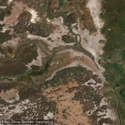
Arroyo Saladillo o Dulce
Estuario de la Bahía Blanca
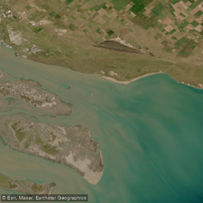
Bahía Blanca
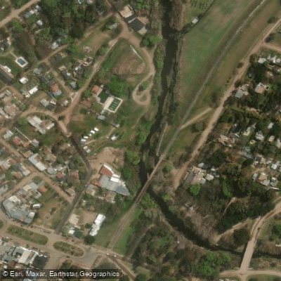
Arroyo Sauce Grande
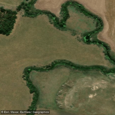
Río Sauce Grande
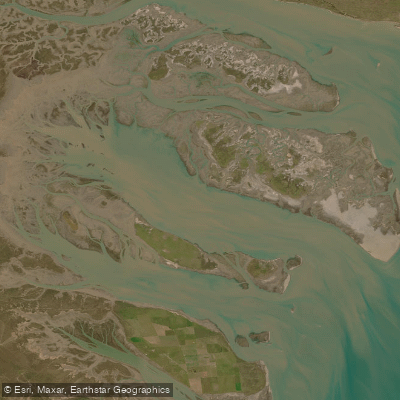
Bahía Falsa
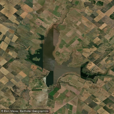
Embalse Paso de las Piedras
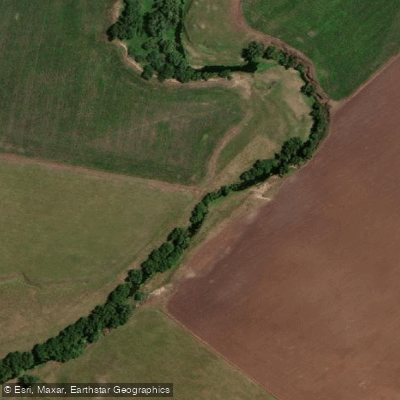
Arroyo El Negro
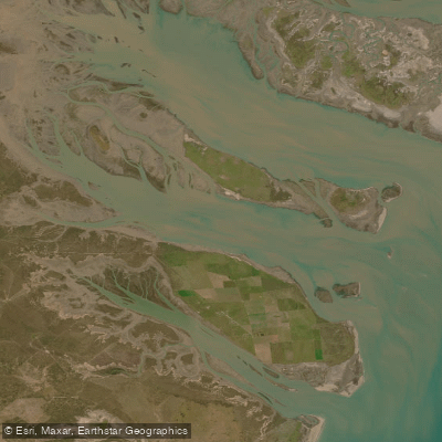
Bahía Verde
Explore Buenos Aires waters
Top paddling waters
No waters available right now.
Popular Cities
Loading popular cities...
Explore near Laguna Chasicó

Smarter Paddling Starts in the App.
Paddleways gives you everything you need to plan smarter, paddle better, and own every trip from first launch to takeout.