Embalse Paso de las Piedras
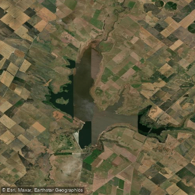
Embalse Paso de las Piedras
- Boat Ramps
- 0
- Access Points
- 0
- Campsites
- 0
Embalse Paso de las Piedras is a large artificial reservoir in the southwest of Buenos Aires Province, Argentina, formed by the Dique Paso de las Piedras dam on the río Sauce Grande. The reservoir sits at approximately 38° 22' S, 61° 18' W, spanning the partidos of Tornquist and Coronel Pringles, roughly 30 kilometers from Sierra de la Ventana and about 100–120 kilometers northeast of Bahía Blanca. At full capacity it covers approximately 3,600 hectares (ranging from 2,752 to 4,000 hectares depending on water level), with a perimeter of 63 kilometers, a maximum depth of 32 meters, and a mean depth of around 8.5 meters. Total storage capacity is 328 million cubic meters. The reservoir collects runoff from the Sauce Grande basin, including drainage from the sierras of Curá Malal, Ventana, and De Las Tunas.
Paddling on this reservoir is explicitly prohibited. The Autoridad del Agua's Resolution 395/17 expressly forbids persons, animals, and watercraft from entering the water for recreational or commercial purposes, and prohibits all water sports of any kind. This restriction applies throughout the reservoir and its surrounding lands, with public access limited to designated sectors (Sectors 1 and 2 within Partido de Coronel Pringles, and Sectors 21 and 22 within Partido de Tornquist). Within those permitted sectors, activities such as lighting fires, camping, littering, cutting firewood, and hunting are also banned. The reservoir serves as the primary drinking water source for Bahía Blanca, Punta Alta, and surrounding communities, as well as supplying petrochemical and industrial facilities in the Bahía Blanca area, which explains the strict access controls.
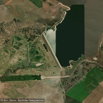
The surrounding landscape includes wooded green spaces along the right bank, and the Hostería del Lago — positioned at the highest point of the reservoir's perimeter — once offered panoramic views over the water and surrounding fields, though the area has largely been abandoned. A 4,500-hectare provincial park (Parque Provincial Dique Paso de las Piedras) was established by provincial decree in 1982 to protect the reservoir and its natural surroundings, and the reservoir supports significant populations of aquatic birds. Access to the dam area is via a paved road of approximately 5.5 kilometers from Ruta Provincial 51.
Given the explicit prohibition on all water-based recreational activities, this reservoir is not a viable destination for paddlers.
Water access, boat ramps & amenities
Learn how to get on Embalse Paso de las Piedras. Uncover great paddling access points, boat ramps, and all the facilities you need for an unforgettable day on the water. Some locations shown may border or include private property. Always check property boundaries and applicable regulations before visiting. PaddleWays's Public & Private Land layer can help you plan your access with confidence.
Paddle smarter with real-time insights
Whether you're en route and conditions shift or you're looking for the best spot based on current flows, we enable you to make informed decisions on the fly.







Buenos Aires licenses and regulations

Find Places to Paddle

Over 400,000 Places to Paddle
Every user gets free access to launch points, boat ramps, and public property parcels.


Water and weather conditions (10 day forecast)
See the best times to paddle Embalse Paso de las Piedras and check the forecast before you go.
No forecast data available.
Paddling near Embalse Paso de las Piedras
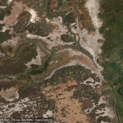
Arroyo Saladillo o Dulce
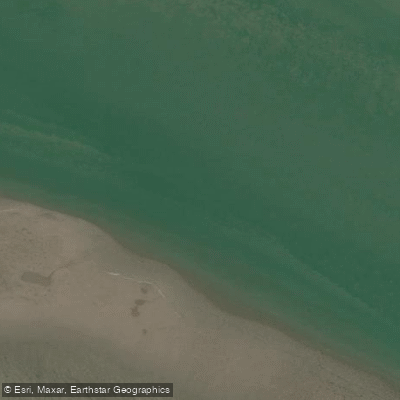
Estuario de la Bahía Blanca
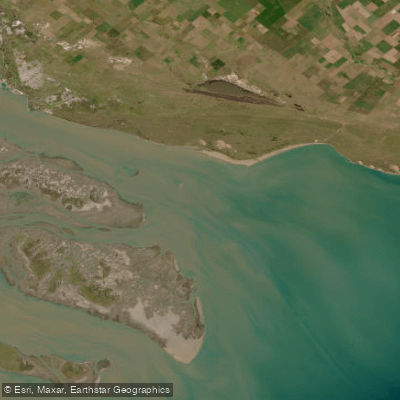
Bahía Blanca
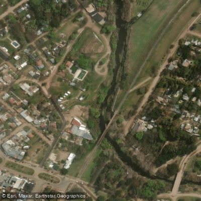
Arroyo Sauce Grande
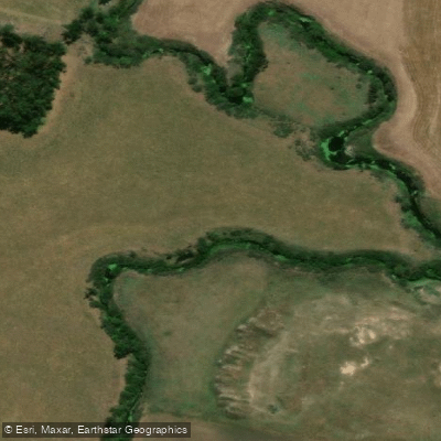
Río Sauce Grande
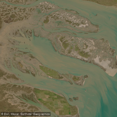
Bahía Falsa
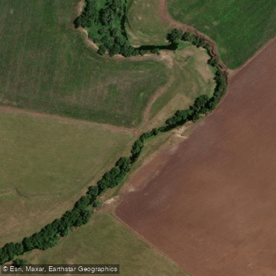
Arroyo El Negro
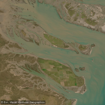
Bahía Verde
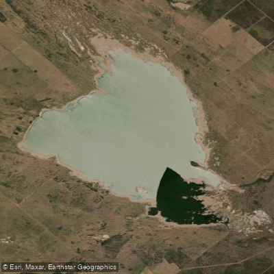
Laguna Chasicó
Explore Buenos Aires waters
Top paddling waters
No waters available right now.
Popular Cities
Loading popular cities...
Explore near Embalse Paso de las Piedras

Smarter Paddling Starts in the App.
Paddleways gives you everything you need to plan smarter, paddle better, and own every trip from first launch to takeout.