Río de la Reconquista
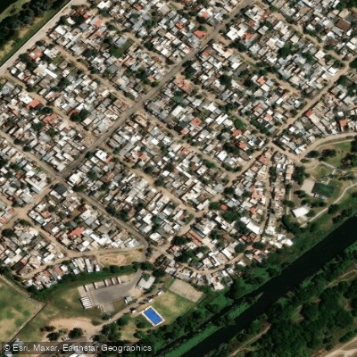
Río de la Reconquista
- Boat Ramps
- 5
- Access Points
- 0
- Campsites
- 3
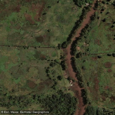
The Río de la Reconquista is a small river in Buenos Aires Province, approximately 82 km in length, flowing through 18 municipalities before emptying into the Río Luján near Tigre. It originates at Dique Roggero, where the arroyos La Choza and Durazno converge to form Lago San Francisco in the partido of General Rodríguez. Its drainage basin covers 1,670 square kilometers and is home to roughly 4 million people.
For paddlers, the river presents serious practical challenges. Under normal conditions, water levels are extremely low — as shallow as 30 cm in stretches between the second inflatable dam at Cascallares and Avenida Roca at the Camino del Buen Aire crossing — making paddle strokes hit bottom. In some sections near the Ruta 7 bridge at Paso del Rey, sediment accumulation has created mid-river islands with trees reaching 5 meters in height, a direct consequence of chronically low flow. The river becomes navigable only after heavy rainfall combined with the opening of the Dique Roggero floodgates to regulate lake levels; however, this same combination produces strong, dangerous currents that create significant hazards for paddlers.
The river is widely recognized as one of the most contaminated watercourses in Argentina, alongside the Riachuelo. Water quality is a serious concern throughout most of its length. Downstream sections, particularly from Moreno onward, are heavily affected by waste and litter. The upper reaches near the Dique Roggero are considered the most natural and least degraded portion of the river.
A roughly 39 km stretch from Paso del Rey to Tigre has been discussed as a potential paddling route, but paddlers familiar with the river caution that this is only feasible under post-rainfall, high-flow conditions — which simultaneously introduce hazardous currents. A kayak rescue involving six minors was recorded at Rincón de Milberg, underscoring the risks that can arise even on shorter outings. Given the combination of contamination, unpredictable navigability, and flood-driven current hazards, the Río de la Reconquista is not considered a practical or safe paddling destination under most conditions.
Water access, boat ramps & amenities
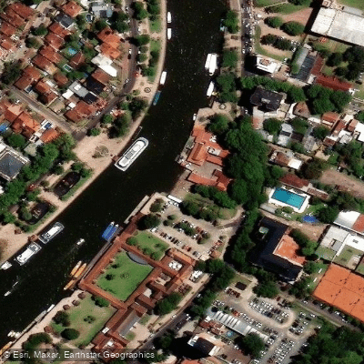
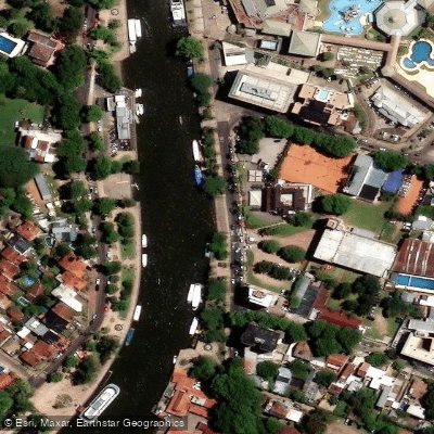
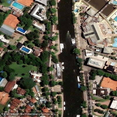
Learn how to get on Río de la Reconquista. Uncover great paddling access points, boat ramps, and all the facilities you need for an unforgettable day on the water. Some locations shown may border or include private property. Always check property boundaries and applicable regulations before visiting. PaddleWays's Public & Private Land layer can help you plan your access with confidence.
Paddle smarter with real-time insights
Whether you're en route and conditions shift or you're looking for the best spot based on current flows, we enable you to make informed decisions on the fly.







Buenos Aires licenses and regulations

Find Places to Paddle

Over 400,000 Places to Paddle
Every user gets free access to launch points, boat ramps, and public property parcels.


Water and weather conditions (10 day forecast)
See the best times to paddle Río de la Reconquista and check the forecast before you go.
Tigre
Paddling near Río de la Reconquista
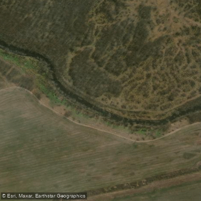
Río Luján
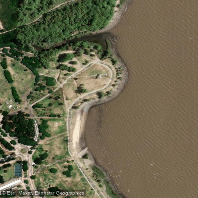
Playa de rellenos urbanos
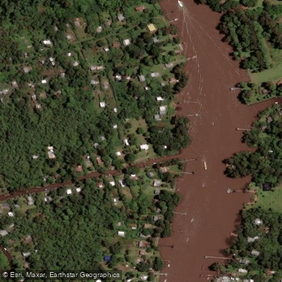
Río Sarmiento

Rïo de la PLata

Río Paraná
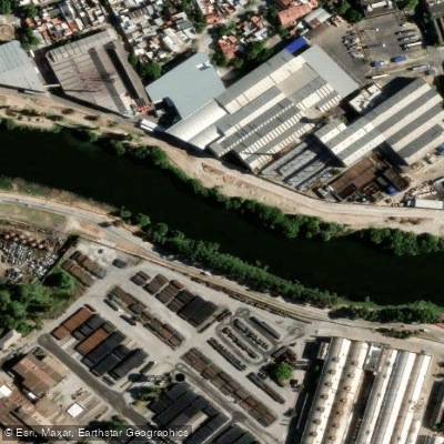
Riachuelo
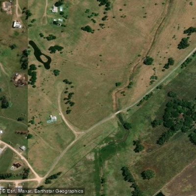
Arroyo Durazno Chico
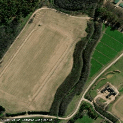
Arroyo Cañuelas
Arroyo Espera
Explore Buenos Aires waters
Top paddling waters
No waters available right now.
Popular Cities
Loading popular cities...
Explore near Río de la Reconquista
Access points
Nearby waters
More in Buenos Aires

Smarter Paddling Starts in the App.
Paddleways gives you everything you need to plan smarter, paddle better, and own every trip from first launch to takeout.