Arroyo Espera
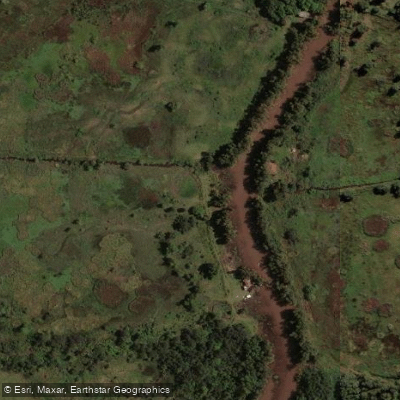
Arroyo Espera
- Boat Ramps
- 0
- Access Points
- 0
- Campsites
- 1
Arroyo Espera is a waterway within the Tigre Delta's Primera Sección, located roughly 7 kilometers from the center of Tigre in Buenos Aires Province. Like all destinations in the Delta islands, it is accessible exclusively by water — there are no roads connecting it to the mainland. Paddlers typically reach the area by departing from the Tigre fluvial station, either via the Interisleña collective ferry service or by water taxi.
Kayaking is a recognized activity on the arroyo. The waterway connects to the Río Sarmiento, which in turn provides access toward Tres Bocas. Collective ferries (lanchas colectivas) do not enter some of the narrower arroyos in this part of the delta; water taxis may navigate them when water levels are sufficiently high. Water levels in the delta fluctuate noticeably — at lower stages, sandy banks become exposed along the shore, while high water submerges these features entirely. Wind and tidal current can both affect paddling conditions, with upstream current present when water is rising.
A camino de Sirga (towpath) runs along the bank of Arroyo Espera, offering an alternative way to move along the waterway on foot. The Sarmiento House-Museum is located a short distance away on the Río Sarmiento and is reachable by paddle. The Monte Blanco Natural Area is also in the broader vicinity, with operating hours of 10 AM to 5 PM, though it is advisable to confirm current access policies locally.
The delta landscape in this section is characterized by dense riparian vegetation, narrow channels, and a general absence of road traffic, which keeps motorized boat activity relatively limited on the smaller waterways. Visitors consistently describe the area as quiet and well-suited to slow-paced water travel.
Water access, boat ramps & amenities
Learn how to get on Arroyo Espera. Uncover great paddling access points, boat ramps, and all the facilities you need for an unforgettable day on the water. Some locations shown may border or include private property. Always check property boundaries and applicable regulations before visiting. PaddleWays's Public & Private Land layer can help you plan your access with confidence.
Paddle smarter with real-time insights
Whether you're en route and conditions shift or you're looking for the best spot based on current flows, we enable you to make informed decisions on the fly.







Buenos Aires licenses and regulations

Find Places to Paddle

Over 400,000 Places to Paddle
Every user gets free access to launch points, boat ramps, and public property parcels.


Water and weather conditions (10 day forecast)
See the best times to paddle Arroyo Espera and check the forecast before you go.
No forecast data available.
Paddling near Arroyo Espera
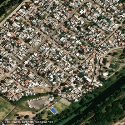
Río de la Reconquista
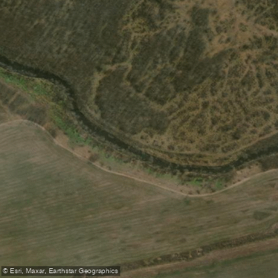
Río Luján
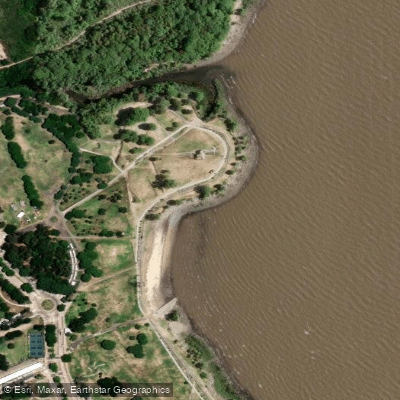
Playa de rellenos urbanos
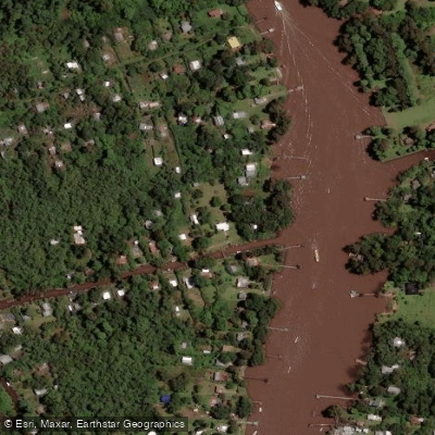
Río Sarmiento

Río Paraná

Rïo de la PLata

Río Uruguay
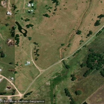
Arroyo Durazno Chico
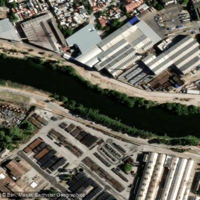
Riachuelo
Explore Buenos Aires waters
Top paddling waters
No waters available right now.
Popular Cities
Loading popular cities...
Explore near Arroyo Espera
Access points
Nearby waters
More in Buenos Aires

Smarter Paddling Starts in the App.
Paddleways gives you everything you need to plan smarter, paddle better, and own every trip from first launch to takeout.