Riachuelo
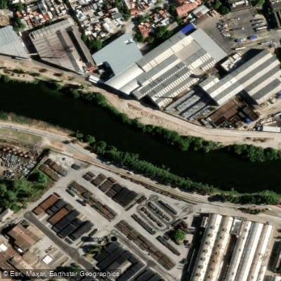
Riachuelo
- Boat Ramps
- 1
- Access Points
- 0
- Campsites
- 0
The Riachuelo, formally known as the Matanza-Riachuelo River, runs through the southern part of Buenos Aires before emptying into the Río de la Plata. The river has long been considered one of the most polluted waterways in Latin America, carrying a legacy of industrial discharge, sewage, and toxic waste accumulated over many decades of heavy use as an industrial port corridor. Its basin spans roughly 2,000 square kilometers and is home to approximately ten percent of Argentina's population.
Navigation on the Riachuelo was judicially suspended in 2011 due to severe contamination. That prohibition has since been partially lifted for the section running from the confluence with the Río de la Plata up to the Nicolás Avellaneda Bridge, near the Rocha Bend. This is currently the only stretch where navigation is permitted for tourism purposes. Organized boat tours operate on this section, with at least one company, Sturla, offering guided river navigation experiences.
Despite the partial reopening, water quality remains a serious concern. Cleanup efforts backed by the Argentine government and the World Bank have made measurable progress — including a major sewage infrastructure project involving more than 40 kilometers of tunnels — but authorities have acknowledged that full environmental remediation will take many more years. Officials have drawn comparisons to the Thames and the Seine, noting that even decades of investment in those rivers has not produced swimmable water quality. Paddlers should treat contact with the water as a significant health risk.
The navigable section passes through historically and culturally significant urban scenery, including industrial-era architecture and the iconic waterfront areas of the southern city. There are no paddler-specific facilities, dedicated launch points, or seasonal water temperature data for independent paddling use. Given the ongoing pollution, restricted navigation zones, and the absence of established paddling infrastructure, the Riachuelo is not a practical destination for independent recreational paddling at this time.
Water access, boat ramps & amenities
Learn how to get on Riachuelo. Uncover great paddling access points, boat ramps, and all the facilities you need for an unforgettable day on the water. Some locations shown may border or include private property. Always check property boundaries and applicable regulations before visiting. PaddleWays's Public & Private Land layer can help you plan your access with confidence.
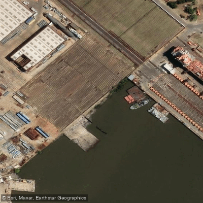
Paddle smarter with real-time insights
Whether you're en route and conditions shift or you're looking for the best spot based on current flows, we enable you to make informed decisions on the fly.







Buenos Aires licenses and regulations

Find Places to Paddle

Over 400,000 Places to Paddle
Every user gets free access to launch points, boat ramps, and public property parcels.


Water and weather conditions (10 day forecast)
See the best times to paddle Riachuelo and check the forecast before you go.
No forecast data available.
Paddling near Riachuelo
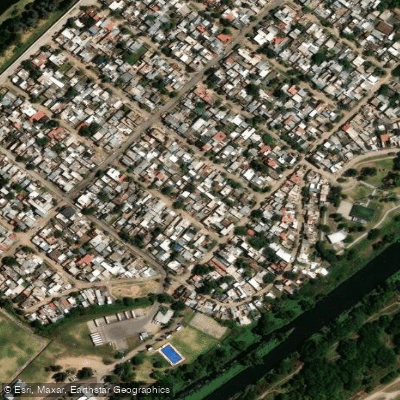
Río de la Reconquista
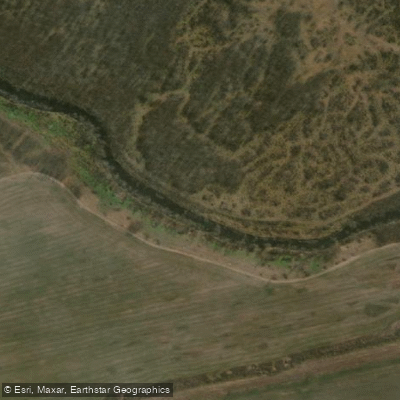
Río Luján
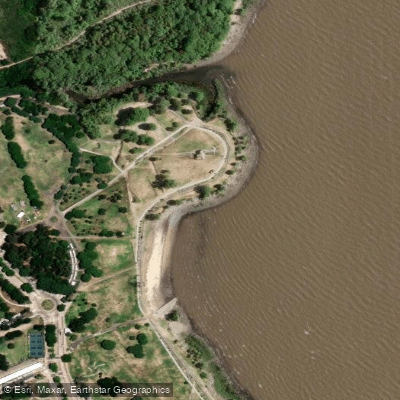
Playa de rellenos urbanos

Rïo de la PLata
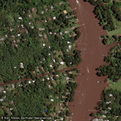
Río Sarmiento

Río Paraná
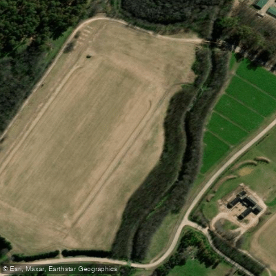
Arroyo Cañuelas
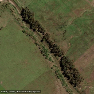
Río Samborombón Chico
Arroyo Espera
Explore Buenos Aires waters
Top paddling waters
No waters available right now.
Popular Cities
Loading popular cities...
Explore near Riachuelo
Access points
Nearby waters
More in Buenos Aires

Smarter Paddling Starts in the App.
Paddleways gives you everything you need to plan smarter, paddle better, and own every trip from first launch to takeout.