Rïo de la PLata
Rïo de la PLata
- Boat Ramps
- 0
- Access Points
- 0
- Campsites
- 1
The Río de la Plata is a massive estuary on the east coast of South America, forming part of the border between Argentina and Uruguay. Formed by the confluence of the Paraná and Uruguay rivers at Punta Gorda, it empties into the Atlantic Ocean in a broad funnel shape. If classified as a river, it is considered the widest in the world, stretching approximately 290 kilometers in length and widening from roughly 2 kilometers at its head to around 220 kilometers at its Atlantic mouth. The Argentine coast is low-lying and prone to flooding, while the Uruguayan coast to the north is higher, with rocks and dunes.
For paddlers, the most practical and popular access area is around Tigre and San Fernando, located less than an hour north of Buenos Aires. This zone serves as the gateway to the Paraná Delta, an extensive freshwater delta system of rivers, streams, and islands with notable biodiversity. Guided kayak tours operate out of this area, with a base at Boulevard de la Ribera 55 in San Fernando. Tours typically paddle through calm delta waterways before reaching the open waters of the Río de la Plata itself, where views of Buenos Aires are possible. The San Isidro area also provides access to open-water and coastal fishing grounds along the Argentine shore.
The estuary's character changes significantly depending on location. The delta channels offer calm, sheltered paddling, while the open estuary presents a very different environment with shifting currents, variable depths, tidal influences, and weather-driven conditions. The meeting of freshwater and saltwater creates a dynamic habitat supporting diverse aquatic life, including various catfish species. Bird watching is possible in the wetland areas near the delta.
Pollution is a known concern along the Río de la Plata, as waste disposal has historically affected the lowland areas along the Argentine shore. The estuary also carries immense quantities of silt annually, contributing to shoals, banks, and bars. Heavy commercial shipping traffic uses dredged channels through the estuary, including the Punta Indio Channel, which is an important safety consideration for paddlers venturing into open water. Fishing regulations apply in the area, and paddlers should verify any applicable permits before launching.
Water access, boat ramps & amenities
Learn how to get on Rïo de la PLata. Uncover great paddling access points, boat ramps, and all the facilities you need for an unforgettable day on the water. Some locations shown may border or include private property. Always check property boundaries and applicable regulations before visiting. PaddleWays's Public & Private Land layer can help you plan your access with confidence.
Paddle smarter with real-time insights
Whether you're en route and conditions shift or you're looking for the best spot based on current flows, we enable you to make informed decisions on the fly.







Buenos Aires licenses and regulations

Find Places to Paddle

Over 400,000 Places to Paddle
Every user gets free access to launch points, boat ramps, and public property parcels.


Water and weather conditions (10 day forecast)
See the best times to paddle Rïo de la PLata and check the forecast before you go.
No forecast data available.
Paddling near Rïo de la PLata
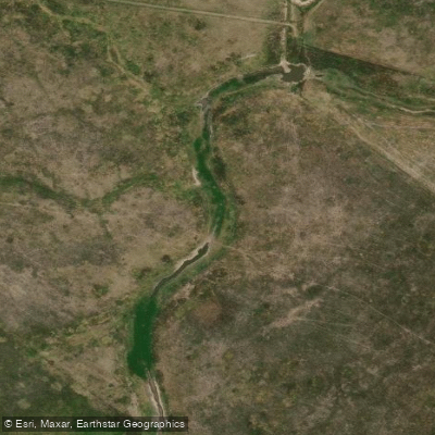
Arroyo El Pescado
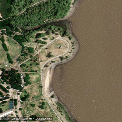
Playa de rellenos urbanos
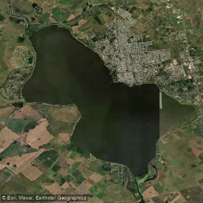
Laguna Chascomús
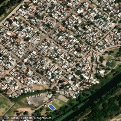
Río de la Reconquista
Río Luján
Río Samborombón Chico
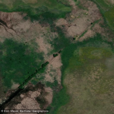
Arroyo Buñirigo
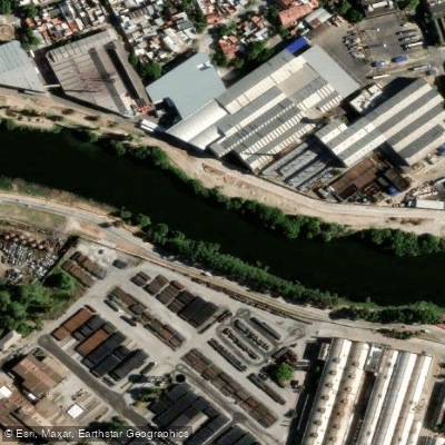
Riachuelo
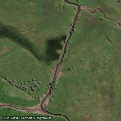
Arroyo Espinillo
Explore Buenos Aires waters
Top paddling waters
No waters available right now.
Popular Cities
Loading popular cities...
Explore near Rïo de la PLata

Smarter Paddling Starts in the App.
Paddleways gives you everything you need to plan smarter, paddle better, and own every trip from first launch to takeout.