Embalse Ministro Juan Pistarini
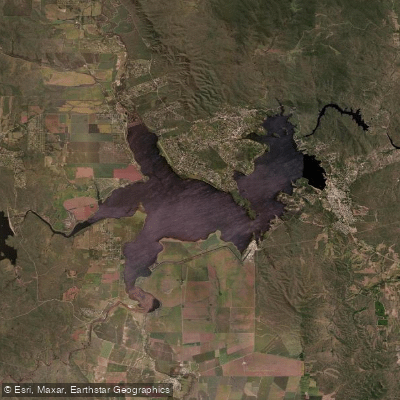
Embalse Ministro Juan Pistarini
- Boat Ramps
- 0
- Access Points
- 0
- Campsites
- 5
Embalse Ministro Juan Pistarini, also known as Embalse de Río Tercero or Embalse de Calamuchita, is the largest artificial reservoir in the province of Córdoba, Argentina. It sits in the heart of the Valle de Calamuchita, between the northern slopes of the Sierras de Los Cóndores and the southern slopes of the Sierras Chicas, at an elevation of approximately 660 meters above sea level. The reservoir covers 5,600 hectares (56 km²) and reaches depths of around 50 meters at its deepest point. It is fed by five rivers — the Santa Rosa, Grande, Amboy, Quillinzo, and La Cruz — and its drainage basin spans roughly 3,300 km² with a mean annual precipitation of 750 mm.
The dam structure itself is 58 meters high and 125 meters long, with a maximum storage capacity of approximately 730–735 million cubic meters. Construction began in 1911 based on a project by a British firm and was completed between 1928 and 1936. The outflow from the reservoir gives rise to the río Ctalamochita, which eventually drains into the río Paraná system.
For paddlers, the reservoir supports kayaking, windsurfing, water skiing, wakeboarding, and stand-up paddleboarding. The Club Náutico Embalse serves as a primary hub for water sports activities on the lake. The reservoir's 15 kilometers of shoreline include beaches and open areas suitable for launching and landing. The town of Embalse lies along the eastern shore and provides access to hotels and other accommodation, making it a practical base for multi-day trips.
The water is transparent and deep, which makes it popular for diving. Fishing is practiced with a catch-and-release ethic for some species; pejerreyes, truchas, and carpas are among the fish present, with a maximum extraction quota of 30 pieces per outing for permitted species.
Notable landmarks visible from the water include the dam wall (paredón), the Central Hidroeléctrica Dr. Arturo Umberto Illia, and the Cerro de los Enamorados, a natural viewpoint overlooking the spillway and dam towers accessible via a roughly 400-meter stairway climb. The Cerro Pistarini offers views of the confluence of the five feeder rivers.
The reservoir is located approximately 110–119 km south of the city of Córdoba, accessible via Ruta Provincial 5.
Water access, boat ramps & amenities
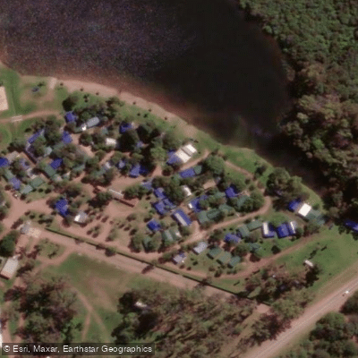
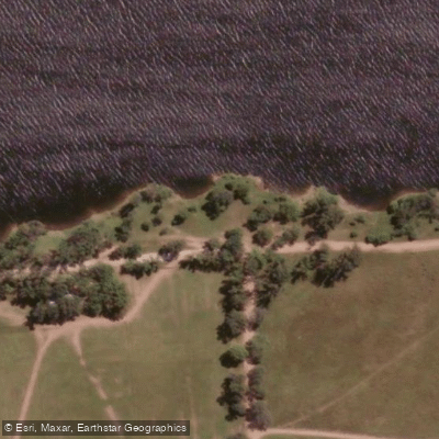
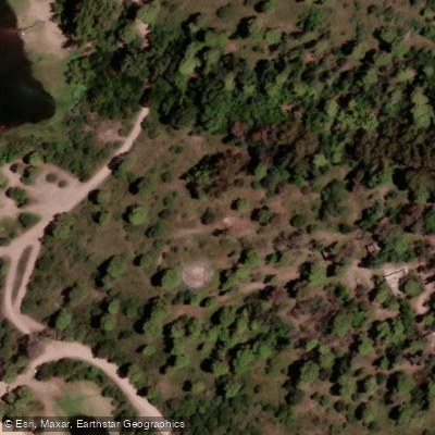
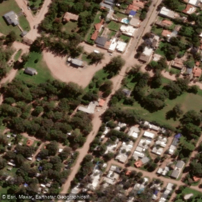
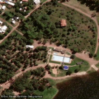
Learn how to get on Embalse Ministro Juan Pistarini. Uncover great paddling access points, boat ramps, and all the facilities you need for an unforgettable day on the water. Some locations shown may border or include private property. Always check property boundaries and applicable regulations before visiting. PaddleWays's Public & Private Land layer can help you plan your access with confidence.
Paddle smarter with real-time insights
Whether you're en route and conditions shift or you're looking for the best spot based on current flows, we enable you to make informed decisions on the fly.







Córdoba licenses and regulations

Find Places to Paddle

Over 400,000 Places to Paddle
Every user gets free access to launch points, boat ramps, and public property parcels.


Water and weather conditions (10 day forecast)
See the best times to paddle Embalse Ministro Juan Pistarini and check the forecast before you go.
No forecast data available.
Paddling near Embalse Ministro Juan Pistarini
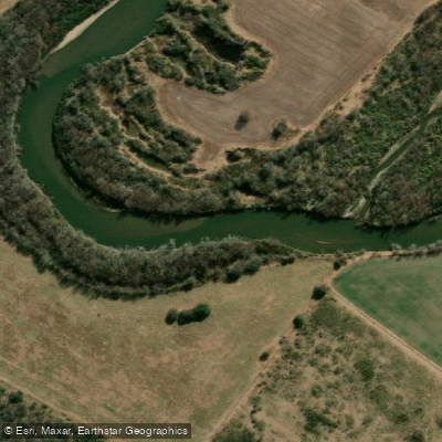
Río Tercero (Ctalamochita)
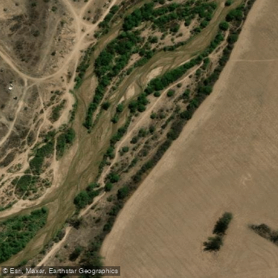
Río Segundo (Xanaes)
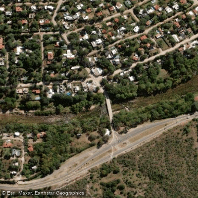
Río Anizacate
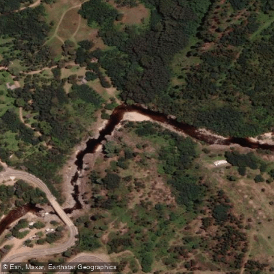
Río de los Reartes
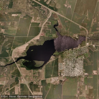
Embalse Piedras Moras
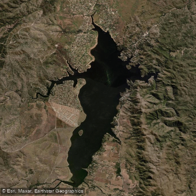
Embalse Los Molinos
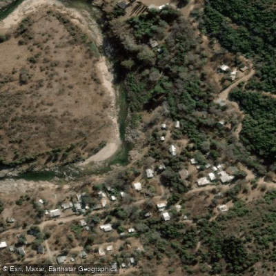
Río Quillinzo
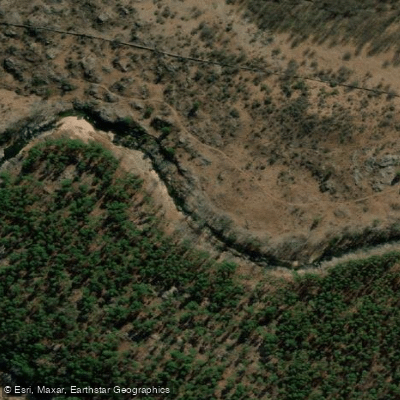
Río de los Sauces
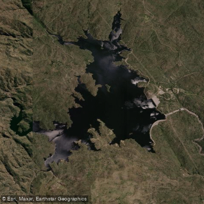
Embalse Cerro Pelado
Explore Córdoba waters
Top paddling waters
No waters available right now.
Popular Cities
Loading popular cities...
Explore near Embalse Ministro Juan Pistarini
Access points
Nearby waters
More in Córdoba

Smarter Paddling Starts in the App.
Paddleways gives you everything you need to plan smarter, paddle better, and own every trip from first launch to takeout.