Arroyo Acaraguá
Arroyo Acaraguá
- Boat Ramps
- 1
- Access Points
- 0
- Campsites
- 5
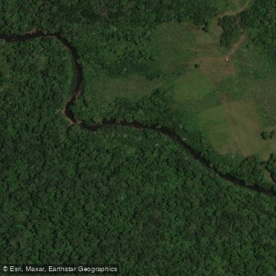
Arroyo Acaraguá is a river in the province of Misiones, Argentina, measuring 81.5 km in length and draining a watershed of approximately 805 km². It originates at an elevation of 358 meters in the Sierra de Misiones, formed by the confluence of the Acaraguá Primero and Acaraguá Segundo streams roughly 2.5 kilometers southeast of Campo Grande, in the department of Cainguás, near Ruta Nacional 14. From there it flows generally eastward, eventually emptying into the Río Uruguay near the locality of Barra Bonita at an elevation of 105 meters, giving the river a total drop of around 253 meters over its course.
Downstream from its headwaters, the Acaraguá forms the boundary between the departments of Oberá and Veinticinco de Mayo. Tributaries entering from the right bank are notably more substantial than those on the left, which in some stretches measure less than 2 kilometers. The principal tributary is the arroyo del Medio, with other right-bank streams including the Nambú, Francés, Mirí, and Apepú also contributing to the flow.
The river's name derives from Guaraní: "acara" refers to the heron, and "gua" denotes a place where a particular animal or plant is abundant, making the name roughly translatable as "place where herons abound."
Kayaking activity has been documented on the Acaraguá, with Club Náutico Acaraguá operating in the area near Campo Ramón, suggesting organized paddling infrastructure exists along at least part of the river's course. Aerial footage has also been recorded at a location known as Picada Argentina along the arroyo. Paddlers planning a trip should seek current local information from the Club Náutico Acaraguá or regional tourism operators in Campo Ramón before putting in.
Water access, boat ramps & amenities
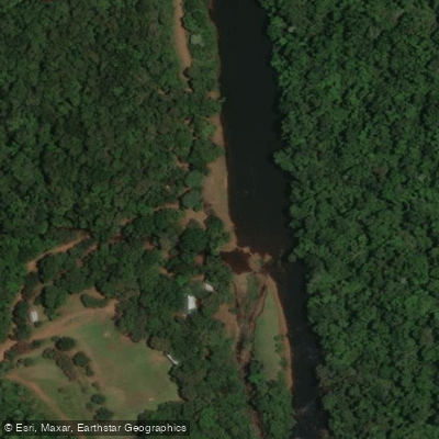
Learn how to get on Arroyo Acaraguá. Uncover great paddling access points, boat ramps, and all the facilities you need for an unforgettable day on the water. Some locations shown may border or include private property. Always check property boundaries and applicable regulations before visiting. PaddleWays's Public & Private Land layer can help you plan your access with confidence.
Paddle smarter with real-time insights
Whether you're en route and conditions shift or you're looking for the best spot based on current flows, we enable you to make informed decisions on the fly.







Misiones licenses and regulations

Find Places to Paddle

Over 400,000 Places to Paddle
Every user gets free access to launch points, boat ramps, and public property parcels.


Water and weather conditions (10 day forecast)
See the best times to paddle Arroyo Acaraguá and check the forecast before you go.
No forecast data available.
Paddling near Arroyo Acaraguá
Arroyo Yabebiry
Arroyo Ramón
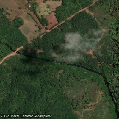
Arroyo del Medio

Río Uruguay
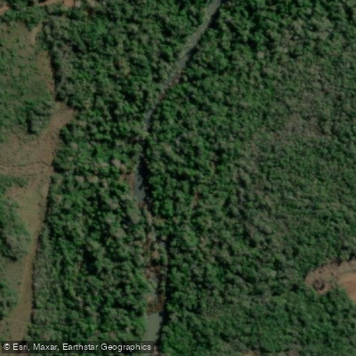
Arroyo Mártires
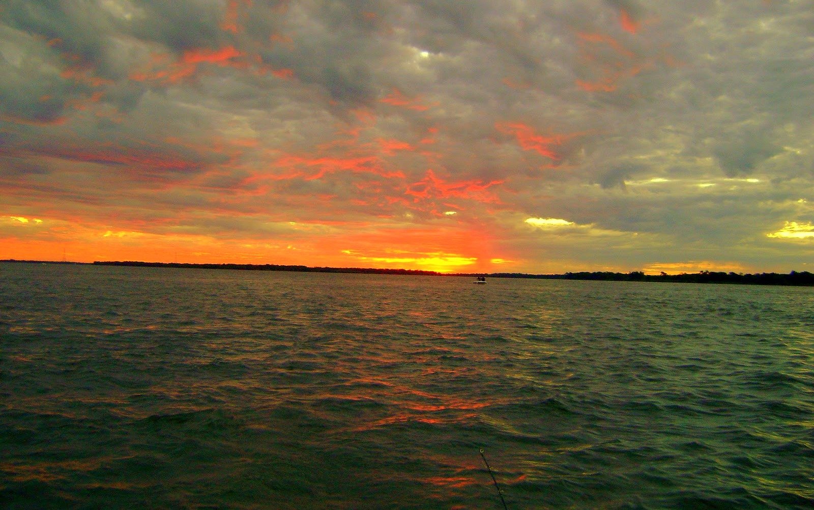
Río Paraná

Río Paraná
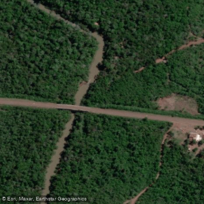
Arroyo Mártires Grande
Arroyo Ñacanguazú
Explore Misiones waters
Top paddling waters
No waters available right now.
Popular Cities
Loading popular cities...
Explore near Arroyo Acaraguá

Smarter Paddling Starts in the App.
Paddleways gives you everything you need to plan smarter, paddle better, and own every trip from first launch to takeout.