Arroyo Uruzú
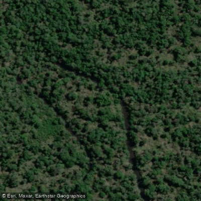
Arroyo Uruzú
- Boat Ramps
- 0
- Access Points
- 0
- Campsites
- 0
Arroyo Uruzú is a tributary of the Urugua-í river system in northern Misiones, Argentina, flowing through Parque Provincial Urugua-I before emptying into the Embalse Urugua-í. The stream drains a significant portion of its watershed within an area designated as an Important Bird and Biodiversity Area (AICA), which also encompasses the Reserva Forestal San Jorge. Elevation along the corridor ranges between roughly 200 and 450 meters above sea level.
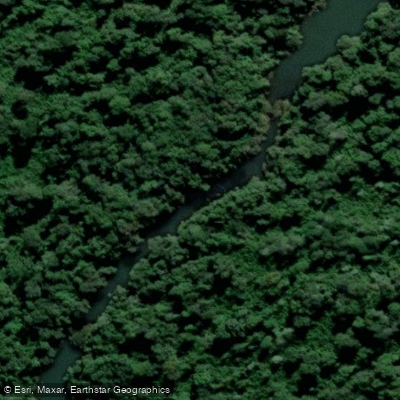
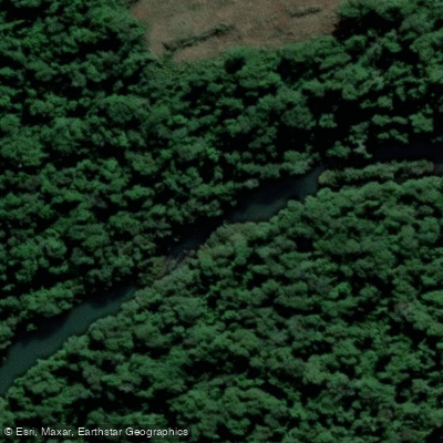
The arroyo's character is defined by a varied topography that includes slopes, rapids, and waterfalls, giving it a dynamic and technically interesting profile for paddlers comfortable with moving water. The surrounding environment is dense Atlantic Forest — the selva misionera — which frames the waterway throughout its course.
A patrol route runs from Destacamento Uruzú downstream to the confluence known as Barra del Arroyo Falso-Urugua-í, which provides a reference corridor for trip planning. Environmental rangers from the Ministerio de Ecología, together with wildlife officers and representatives of neighboring private reserves, conduct regular patrols on the arroyo as part of ongoing anti-poaching and conservation efforts. Paddlers should be aware of this institutional presence and the conservation-sensitive nature of the area.
Wildlife monitoring is actively conducted along the stream, reflecting the ecological importance of the corridor. The basin contains headwaters of several tributaries that feed into the broader Iguazú and Urugua-í systems, making water quality and habitat integrity a management priority for provincial authorities.
Water access, boat ramps & amenities
Learn how to get on Arroyo Uruzú. Uncover great paddling access points, boat ramps, and all the facilities you need for an unforgettable day on the water. Some locations shown may border or include private property. Always check property boundaries and applicable regulations before visiting. PaddleWays's Public & Private Land layer can help you plan your access with confidence.
Paddle smarter with real-time insights
Whether you're en route and conditions shift or you're looking for the best spot based on current flows, we enable you to make informed decisions on the fly.







Misiones licenses and regulations

Find Places to Paddle

Over 400,000 Places to Paddle
Every user gets free access to launch points, boat ramps, and public property parcels.


Water and weather conditions (10 day forecast)
See the best times to paddle Arroyo Uruzú and check the forecast before you go.
No forecast data available.
Paddling near Arroyo Uruzú
Río Paraná
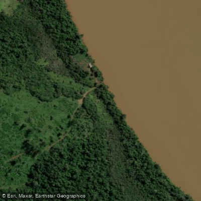
Río Iguazú

Río Paraná
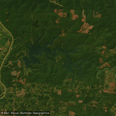
Embalse Lago Urugua-í
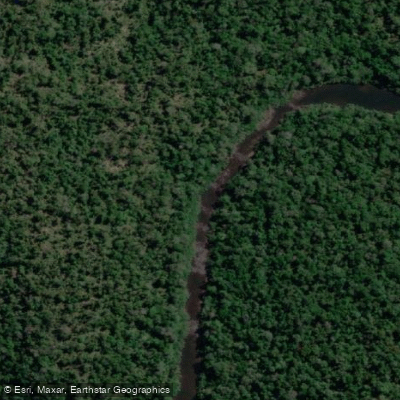
Arroyo Urugua-í o Grande
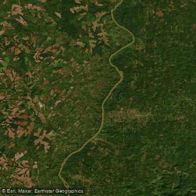
Río Paraná
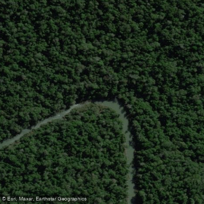
Arroyo Uruguay o Grande
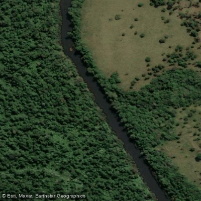
Arroyo Piray Miní
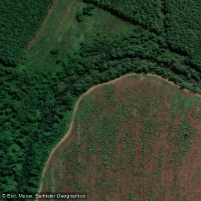
Arroyo Aguaray Guazú
Explore Misiones waters
Top paddling waters
No waters available right now.
Popular Cities
Loading popular cities...
Explore near Arroyo Uruzú

Smarter Paddling Starts in the App.
Paddleways gives you everything you need to plan smarter, paddle better, and own every trip from first launch to takeout.