Río Iguazú
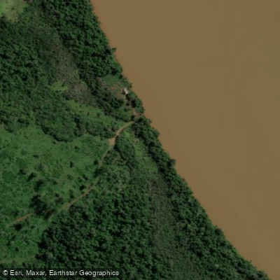
Río Iguazú
- Boat Ramps
- 1
- Access Points
- 0
- Campsites
- 3
The Río Iguazú in Misiones, Argentina offers distinctly different paddling experiences depending on which section of the river is accessed. The upper portion of the river provides calmer water suited to beginners and intermediate paddlers, while the lower portion downstream from the falls features rapids and swift currents that are more appropriate for experienced kayakers. Kayaking is not permitted within the boundaries of Parque Nacional Iguazú where the waterfalls are located, so paddlers must plan their routes accordingly and stay outside the park.
Guided kayaking tours depart daily from the puerto de Iguazú in Puerto Iguazú, with a typical route covering approximately 8 kilometers. These tours include life vests, paddles, and dry bags, and operators provide instruction on paddling technique and safety protocols before setting out. Routes make periodic stops along the banks for rest and photography. One notable destination accessible by water is the confluence of the Iguazú and Paraná rivers at the triple border point where Argentina, Brazil, and Paraguay meet.
The river runs through dense rainforest throughout its course in Misiones, and paddlers can expect to encounter diverse wildlife along the banks, including birds, butterflies, capybaras, toucans, and coatis. The surrounding jungle provides a consistent natural backdrop for the entire paddling experience.
For those interested in combining paddling with other activities, some operators offer combined kayak and paddleboard outings that also include short rainforest walks. The Paraná River, which the Iguazú joins near Puerto Iguazú, also offers additional paddling options in the broader region.
Water access, boat ramps & amenities
Learn how to get on Río Iguazú. Uncover great paddling access points, boat ramps, and all the facilities you need for an unforgettable day on the water. Some locations shown may border or include private property. Always check property boundaries and applicable regulations before visiting. PaddleWays's Public & Private Land layer can help you plan your access with confidence.
Paddle smarter with real-time insights
Whether you're en route and conditions shift or you're looking for the best spot based on current flows, we enable you to make informed decisions on the fly.







Misiones licenses and regulations

Find Places to Paddle

Over 400,000 Places to Paddle
Every user gets free access to launch points, boat ramps, and public property parcels.


Water and weather conditions (10 day forecast)
See the best times to paddle Río Iguazú and check the forecast before you go.
Confluencia
All Flow Stations
Paddling near Río Iguazú
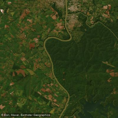
Río Paraná

Río Paraná
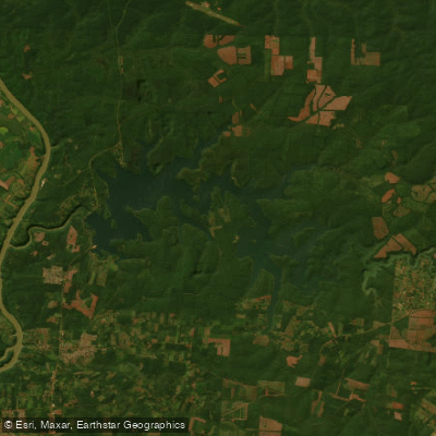
Embalse Lago Urugua-í
Arroyo Urugua-í o Grande
Río Paraná
Arroyo Uruguay o Grande
Arroyo Uruzú
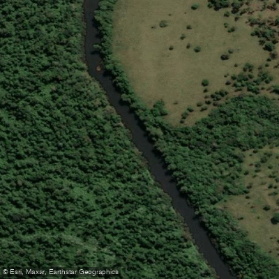
Arroyo Piray Miní
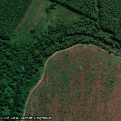
Arroyo Aguaray Guazú
Explore Misiones waters
Top paddling waters
No waters available right now.
Popular Cities
Loading popular cities...
Explore near Río Iguazú

Smarter Paddling Starts in the App.
Paddleways gives you everything you need to plan smarter, paddle better, and own every trip from first launch to takeout.