Arroyo Piray Miní
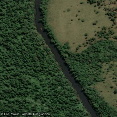
Arroyo Piray Miní
- Boat Ramps
- 1
- Access Points
- 0
- Campsites
- 4
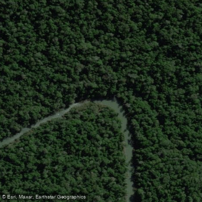
Arroyo Piray Miní is a left-bank tributary of the río alto Paraná, flowing through the center-north of Misiones province in northeastern Argentina. Its name derives from Guaraní and translates roughly to "small river of the fish." The arroyo originates at elevations above 600 meters in the Sierra de Misiones, southwest of Bernardo de Irigoyen, and descends through the departments of General Manuel Belgrano, San Pedro, and Eldorado before emptying into the Paraná at approximately 104 meters above sea level, about 6 kilometers north of the city of Eldorado. The course is notably tortuous, with numerous bends and counter-curves, and maintains a general east-to-west orientation. Major tributaries include the arroyos Alegría, Despedido, and Paquita.
The water is clear and fast-moving in sections, with depths ranging from roughly 0.20 to 1.40 meters. The streambed consists of mud, sand, and predominantly stones, with sparse submerged vegetation in some areas. The arroyo passes through a dramatic quebrada around the Kilómetro 60 zone, where the terrain drops sharply in elevation toward Eldorado, creating a landscape of rapids and deep pools with long, calm stretches between them. Water levels can be low at certain times of year, which results in shallow rapids and extended flat-water sections.
A documented kayak descent from Picada 10 de Pozo Azul covered approximately 96 kilometers of the arroyo's length. The rafting route operated by the Cueva Miní Lodge and Adventure complex near Eldorado covers a 12-kilometer stretch from just below Ruta Nacional 12 to the confluence with the Paraná, navigating the river's rapids. Kayaking is also available through the same operator. The arroyo is crossed by a bridge on Ruta Nacional 12 near its lower reach, which serves as a practical reference point for access.
Wildlife observed along the arroyo includes Yacutinga (Pipile jacutinga), Cutirí duck (Amazonetta brasiliensis), Real duck (Cairina moschata), Macá cara blanca (Rollandia rollans), various other waterbirds, turtles, and occasional capybaras. The surrounding Misionera jungle provides dense riparian cover throughout the route.
Water access, boat ramps & amenities
Learn how to get on Arroyo Piray Miní. Uncover great paddling access points, boat ramps, and all the facilities you need for an unforgettable day on the water. Some locations shown may border or include private property. Always check property boundaries and applicable regulations before visiting. PaddleWays's Public & Private Land layer can help you plan your access with confidence.
Paddle smarter with real-time insights
Whether you're en route and conditions shift or you're looking for the best spot based on current flows, we enable you to make informed decisions on the fly.







Misiones licenses and regulations

Find Places to Paddle

Over 400,000 Places to Paddle
Every user gets free access to launch points, boat ramps, and public property parcels.


Water and weather conditions (10 day forecast)
See the best times to paddle Arroyo Piray Miní and check the forecast before you go.
Piray Mini - Valle Hermoso
Paddling near Arroyo Piray Miní
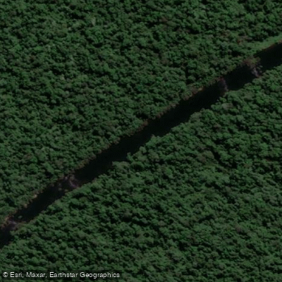
Arroyo Piray Guazú
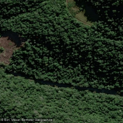
Arroyo Soberbio

Río Uruguay
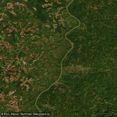
Río Paraná

Río Paraná
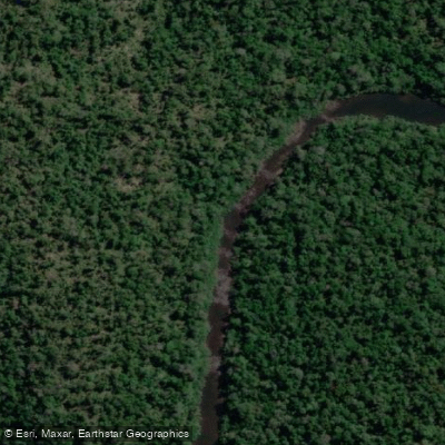
Arroyo Urugua-í o Grande
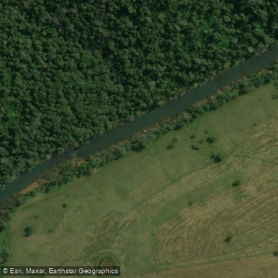
Río Pepirí Guazú
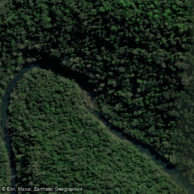
Arroyo Yabotí Miní
Arroyo Uruguay o Grande
Explore Misiones waters
Top paddling waters
No waters available right now.
Popular Cities
Loading popular cities...
Explore near Arroyo Piray Miní

Smarter Paddling Starts in the App.
Paddleways gives you everything you need to plan smarter, paddle better, and own every trip from first launch to takeout.