Río Paraná
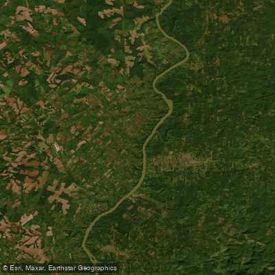
Río Paraná
- Boat Ramps
- 0
- Access Points
- 0
- Campsites
- 4
The Río Paraná is the second longest river in South America at approximately 4,880 kilometers, flowing through Brazil, Paraguay, and Argentina before emptying into the Atlantic Ocean via the Río de la Plata. Within Argentina, it passes through several distinct regions that offer very different paddling experiences, from the upper stretches near the province of Misiones and the town of Puerto Bemberg, through the province of Santa Fe near Rosario, down to the vast delta near the town of Tigre, just north of Buenos Aires.
In the upper reaches near Puerto Bemberg and the Misiones region, the river borders Paraguay and flows through the Paranaense jungle. Paddlers here encounter dense riparian vegetation, caiman sunbathing along the banks, howler monkeys in the treetops, parrots, toucans, and a wide variety of bird species. The biodiversity in this section is exceptional, with the broader ecosystem supporting over 1,500 species of mammals, 500 species of birds, 300 species of fish, and 250 species of trees. Guided kayak excursions from Puerto Bemberg typically travel along the Argentine bank toward the mouth of the arroyo Urugua-í. Guides in this area are commonly bilingual, and sit-on-top kayaks are standard equipment. Difficulty is rated low, and children under six are generally excluded from organized tours.
Near Rosario in the province of Santa Fe, the river flows amid slopes and islands, with channels formed between them offering a more dynamic paddling environment. Helmets, neoprene suits, and life vests are standard gear for guided trips in this section. The recommended stay for a paddling visit to this area is one to three days.
The Paraná Delta near Tigre is the most accessible section for paddlers based in Buenos Aires. The delta is a continuously growing freshwater sedimentary formation, notable for being one of the few major deltas in the world fed entirely by fresh water. Closer to Tigre town, water quality can be a concern; guided tours typically shuttle paddlers well upriver before launching to ensure cleaner conditions. The delta is characterized by a network of rivers and streams lined with homes built on stilts. Half-day guided kayak tours are widely available and typically accommodate small groups. Recommended gear throughout the river includes sunscreen, mosquito repellent, and closed-toe shoes.
Water access, boat ramps & amenities
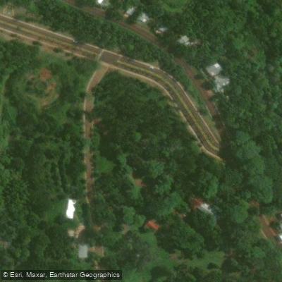
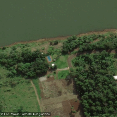
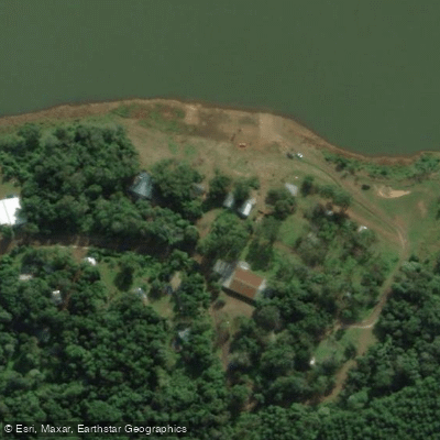
Learn how to get on Río Paraná. Uncover great paddling access points, boat ramps, and all the facilities you need for an unforgettable day on the water. Some locations shown may border or include private property. Always check property boundaries and applicable regulations before visiting. PaddleWays's Public & Private Land layer can help you plan your access with confidence.
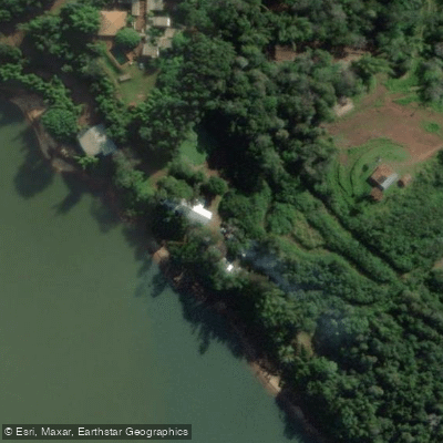
Paddle smarter with real-time insights
Whether you're en route and conditions shift or you're looking for the best spot based on current flows, we enable you to make informed decisions on the fly.







Misiones licenses and regulations

Find Places to Paddle

Over 400,000 Places to Paddle
Every user gets free access to launch points, boat ramps, and public property parcels.


Water and weather conditions (10 day forecast)
See the best times to paddle Río Paraná and check the forecast before you go.
El Dorado
All Flow Stations
Paddling near Río Paraná
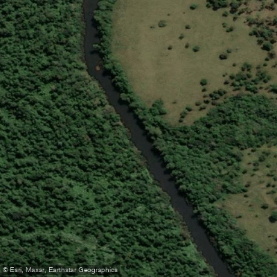
Arroyo Piray Miní
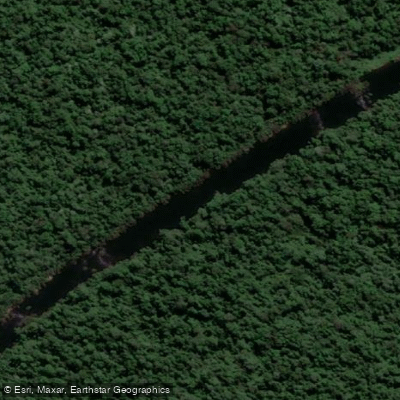
Arroyo Piray Guazú

Río Paraná
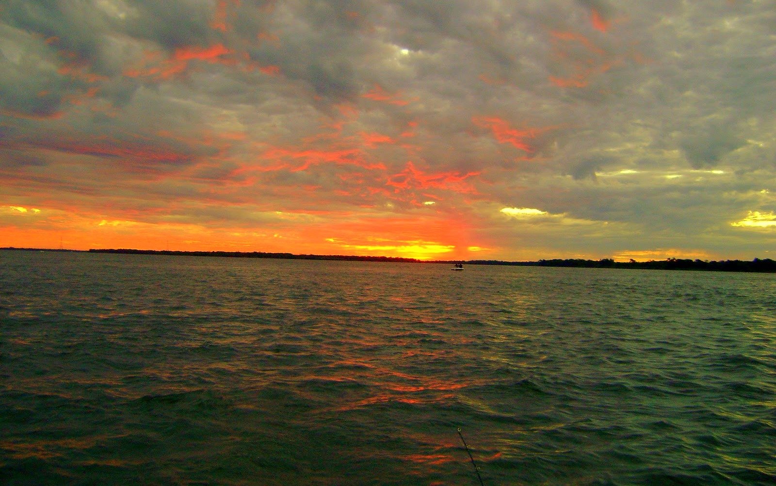
Río Paraná
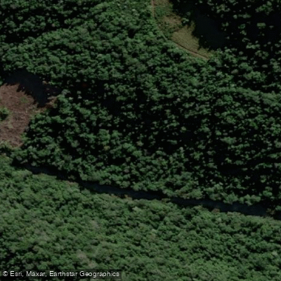
Arroyo Soberbio
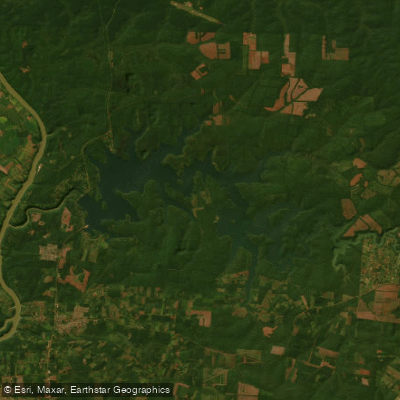
Embalse Lago Urugua-í
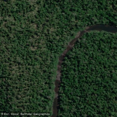
Arroyo Urugua-í o Grande
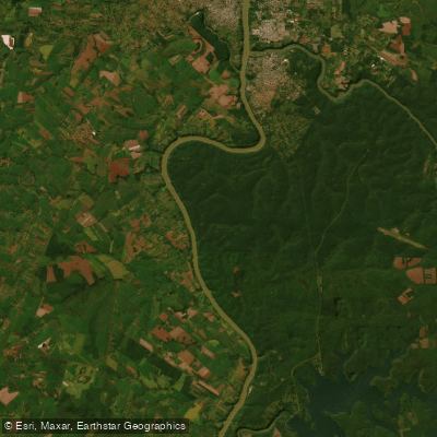
Río Paraná
Arroyo Aguaray Guazú
Explore Misiones waters
Top paddling waters
No waters available right now.
Popular Cities
Loading popular cities...
Explore near Río Paraná
Access points
Nearby waters
More in Misiones

Smarter Paddling Starts in the App.
Paddleways gives you everything you need to plan smarter, paddle better, and own every trip from first launch to takeout.