Lago Lácar
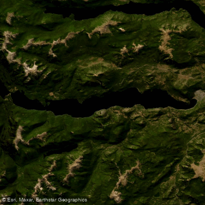
Lago Lácar
- Boat Ramps
- 0
- Access Points
- 0
- Campsites
- 10
Lago Lácar is a glacial lake situated at 630 meters above sea level in Lácar Department, Neuquén Province, within the Andes mountain range. It has a surface area of approximately 55 km², a length of 23 kilometers, an average depth of 167 meters, and a maximum depth of 277 meters, with a catchment basin of 1,048 km². The surrounding terrain rises to between 1,600 and 1,900 meters. The city of San Martín de los Andes sits on the northeastern shore and serves as the primary access point for paddlers; the rest of the drainage basin is largely uninhabited.
The lake drains westward via the Hua-Hum River through Huahum Pass into Chilean territory, eventually reaching the Pacific Ocean, making it the northernmost lake on the eastern Andean slope that drains to the Pacific. To the west, Lago Nonthue forms a natural extension of Lácar, separated by a narrow valley, and a catamaran service covers both lakes during high season. The Hua-Hum River valley extends to the northwest.
Kayaking is a well-established activity on the lake, with touring kayaks being an increasingly popular way to explore its length of more than 20 kilometers. Overnight kayaking expeditions are undertaken by both local paddlers and visitors. Wind is a notable factor in this region of Patagonia and should be factored into trip planning. Navigation on the lake is regulated by the Argentine Naval Prefecture (Prefectura Naval Argentina). The use of personal watercraft, jet skis, water skiing, and wakeboarding is prohibited; motorized boat traffic and sailing are permitted.
Summer (December through February in the Southern Hemisphere) is the primary paddling season, when kayak rentals and guided tours are available from San Martín de los Andes. Winter brings cold temperatures and wind, as the lake is a year-round destination primarily for skiing during those months. An annual swim race across the lake has been held each summer since 1985, coinciding with the anniversary of San Martín de los Andes, which may affect paddling conditions on that particular day.
The water is crystal-clear, and the lake is enclosed by forested mountain slopes. The northeastern shore near San Martín de los Andes offers beach access and associated amenities including boat and kayak rentals.
Water access, boat ramps & amenities
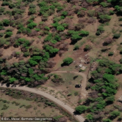
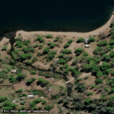
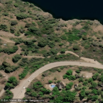
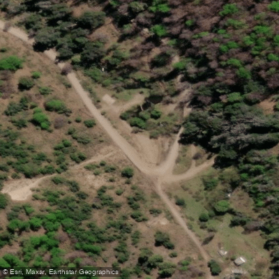
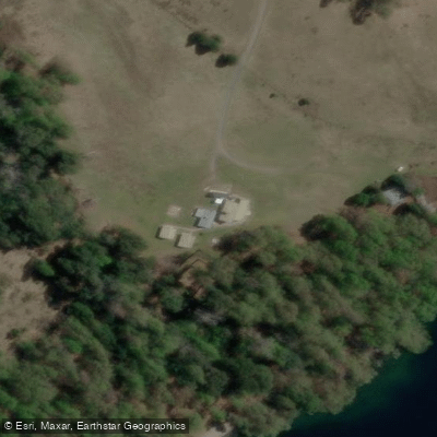
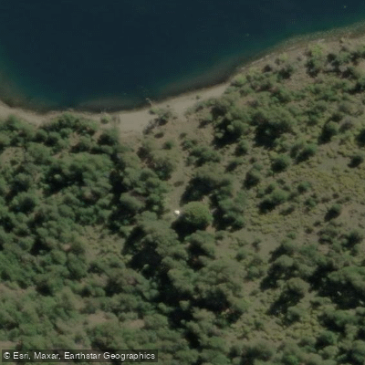
Learn how to get on Lago Lácar. Uncover great paddling access points, boat ramps, and all the facilities you need for an unforgettable day on the water. Some locations shown may border or include private property. Always check property boundaries and applicable regulations before visiting. PaddleWays's Public & Private Land layer can help you plan your access with confidence.
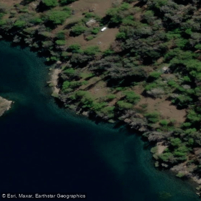
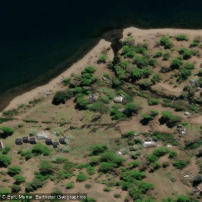
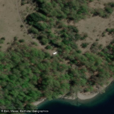
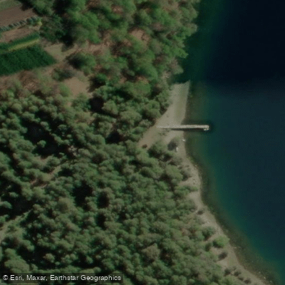
Paddle smarter with real-time insights
Whether you're en route and conditions shift or you're looking for the best spot based on current flows, we enable you to make informed decisions on the fly.







Neuquén licenses and regulations

Find Places to Paddle

Over 400,000 Places to Paddle
Every user gets free access to launch points, boat ramps, and public property parcels.


Water and weather conditions (10 day forecast)
See the best times to paddle Lago Lácar and check the forecast before you go.
L. Lacar - S.M. de Los Andes
Paddling near Lago Lácar
Río Chimehuín
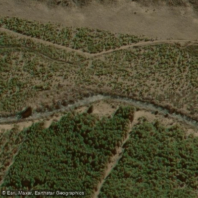
Río Currhué
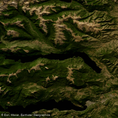
Lago Lolog
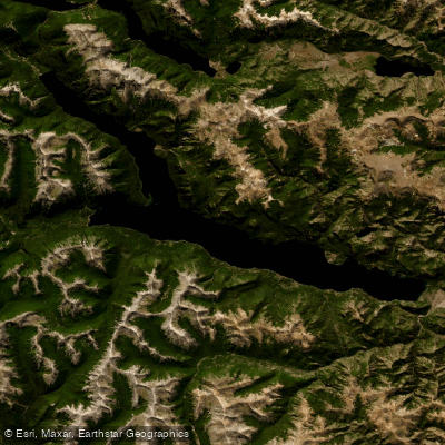
Lago Traful
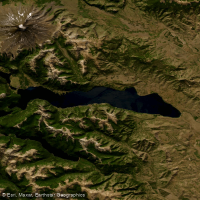
Lago Huechulafquen
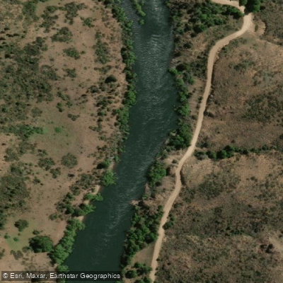
Río Aluminé
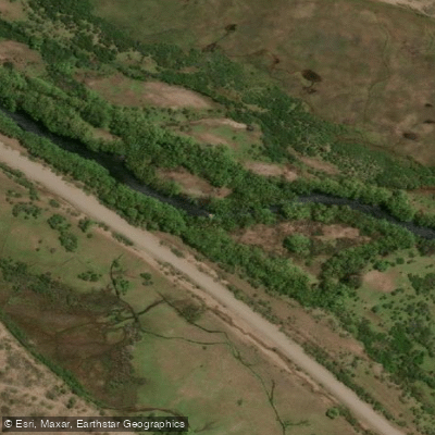
Río Malleo
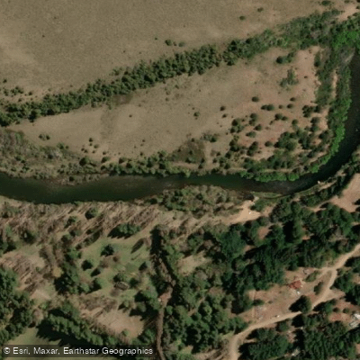
Río Quilquihue
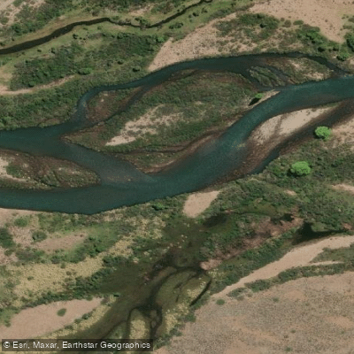
Río Caleufú
Explore Neuquén waters
Top paddling waters
No waters available right now.
Popular Cities
Loading popular cities...
Explore near Lago Lácar
Access points
Nearby waters
More in Neuquén

Smarter Paddling Starts in the App.
Paddleways gives you everything you need to plan smarter, paddle better, and own every trip from first launch to takeout.