Río Caleufú
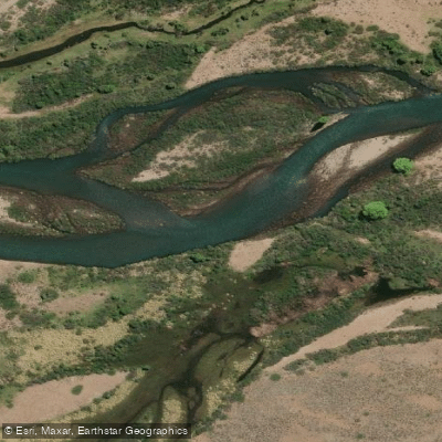
Río Caleufú
- Boat Ramps
- 0
- Access Points
- 0
- Campsites
- 3
The Río Caleufú is a roughly 50-kilometer river in the southern part of Neuquén Province, Argentina, formed by the confluence of the Río Filo Hua Hum and the Río Meliquina within the Departamento Lácar. It flows eastward, dropping from approximately 730 meters at its source to around 550 meters at its mouth, where it joins the Río Collón Curá as a tributary of the Río Negro basin.
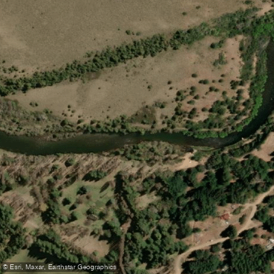
The river's character changes noticeably along its length. The upper section is steeper, with a higher gradient, abundant rapids, a rocky riverbed, and dense riparian vegetation. This stretch offers more dynamic water for paddlers. The lower section flattens out considerably, with the river tending to form meanders and braided channels. Riparian vegetation largely disappears in the lower reaches, giving way to steppe landscape. The riverbed substrate shifts from larger cobbles and boulders upstream to finer sediments and sand downstream. Water clarity also changes: the upper river runs cleaner and clearer, while the lower section carries more turbidity and takes on a brownish tone associated with higher biological productivity and a denser fish population.
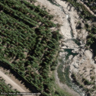
One notable feature along the river is the Pozones del Caleufú, a section where the channel narrows and the water has carved deeply into the rock over time, creating tunnels and large, deep pools with a striking turquoise color. The water in this zone is calm and clear enough to observe trout moving below the surface. The surrounding landscape includes mountains, pine forests, and native vegetation.
Both whitewater descent and sport fishing are practiced on the river. Summer is the most favorable season for visiting and paddling the river. To reach the Pozones area, one route involves traveling approximately 27 km from San Martín de los Andes along Ruta 40, then taking RP 63 for roughly 15 km to Villa Meliquina; the final approach involves a gravel road. The Pozones are located approximately 20 km from Villa Meliquina.
Water access, boat ramps & amenities
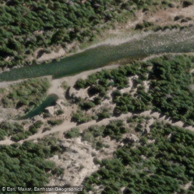
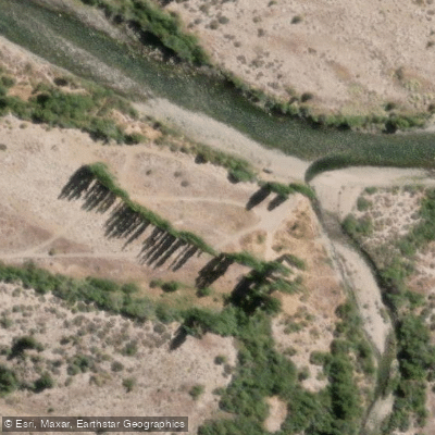
Learn how to get on Río Caleufú. Uncover great paddling access points, boat ramps, and all the facilities you need for an unforgettable day on the water. Some locations shown may border or include private property. Always check property boundaries and applicable regulations before visiting. PaddleWays's Public & Private Land layer can help you plan your access with confidence.
Paddle smarter with real-time insights
Whether you're en route and conditions shift or you're looking for the best spot based on current flows, we enable you to make informed decisions on the fly.







Neuquén licenses and regulations

Find Places to Paddle

Over 400,000 Places to Paddle
Every user gets free access to launch points, boat ramps, and public property parcels.


Water and weather conditions (10 day forecast)
See the best times to paddle Río Caleufú and check the forecast before you go.
No forecast data available.
Paddling near Río Caleufú
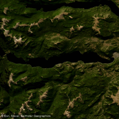
Lago Lácar
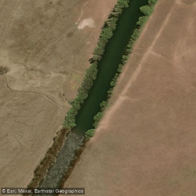
Río Chimehuín
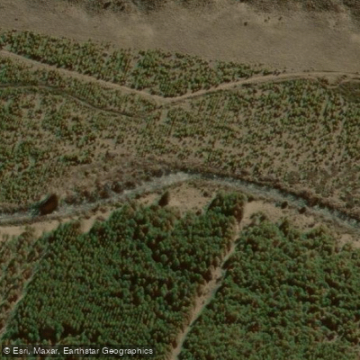
Río Currhué
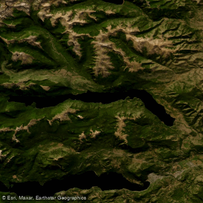
Lago Lolog
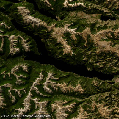
Lago Traful
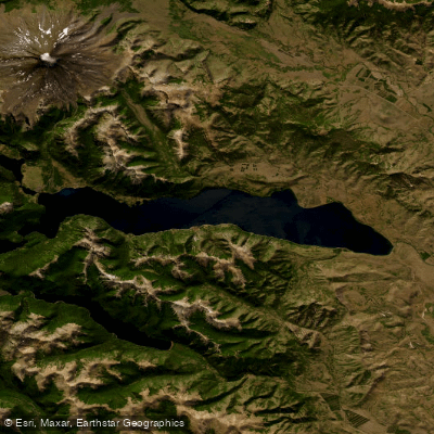
Lago Huechulafquen
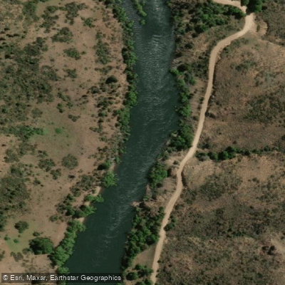
Río Aluminé
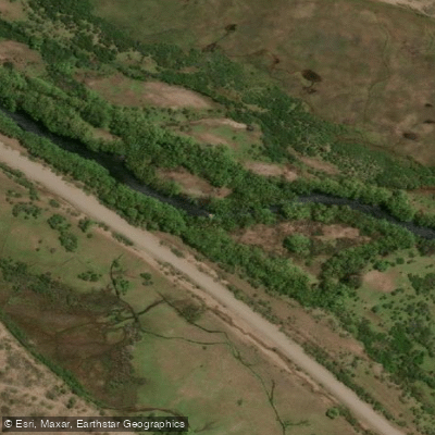
Río Malleo
Río Quilquihue
Explore Neuquén waters
Top paddling waters
No waters available right now.
Popular Cities
Loading popular cities...
Explore near Río Caleufú
Access points
Nearby waters
More in Neuquén

Smarter Paddling Starts in the App.
Paddleways gives you everything you need to plan smarter, paddle better, and own every trip from first launch to takeout.