Río Malleo
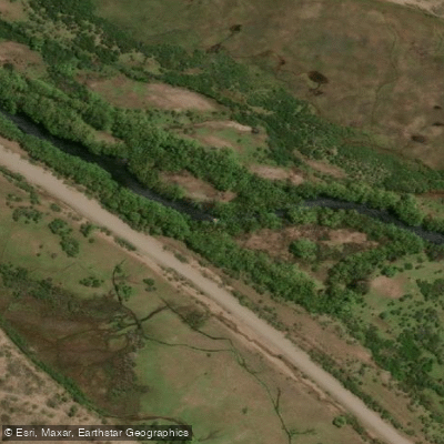
Río Malleo
- Boat Ramps
- 0
- Access Points
- 0
- Campsites
- 0
The Río Malleo is a moderate-sized freestone river in northern Patagonia, Neuquén province, flowing approximately 30 to 50 miles from its origin at Lago Tromen southward until it joins the Río Alumine. Lago Tromen sits near Argentina's border with Chile, in the shadow of Volcán Lanín. The river's course passes through a varied landscape that includes boulder-strewn runs, basalt canyons, open meadow stretches with undercut banks shaded by willows (locally called mimbres), and long slow pools tailing into riffles.
The river is commonly divided into three sections. The upper Malleo runs from Lago Tromen to the international bridge at Tromen Pass and flows through national forest land with free public access. The terrain here is demanding, with bank climbing and boulder scrambling required to move along the river. The middle section extends from the Tromen Pass bridge to the bridge where the road heads toward the town of Alumine; this stretch is accessible via what is locally known as the "yellow bridge" and suits those willing to hike in. The lower section runs from that bridge to the confluence with the Río Alumine. Much of the lower river is accessible upon payment of a small fee. A significant portion of the middle and lower river passes through the 25,000-acre Estancia San Huberto, where access is restricted to guests of the hostería; within this private property the river transitions through fast runs in basalt canyons and long meandering pools.
The river is closest to the town of Junín de los Andes, roughly an hour's drive away, which provides the nearest base for supplies and amenities. The general season for visiting the river runs from late November through early April, corresponding to the Southern Hemisphere summer and autumn. The upper section tends to carry higher water in spring (November–December), while summer conditions lower flows throughout. The surrounding landscape features open Patagonian terrain with volcanoes visible in the distance.
Water access, boat ramps & amenities
Learn how to get on Río Malleo. Uncover great paddling access points, boat ramps, and all the facilities you need for an unforgettable day on the water. Some locations shown may border or include private property. Always check property boundaries and applicable regulations before visiting. PaddleWays's Public & Private Land layer can help you plan your access with confidence.
Paddle smarter with real-time insights
Whether you're en route and conditions shift or you're looking for the best spot based on current flows, we enable you to make informed decisions on the fly.







Neuquén licenses and regulations

Find Places to Paddle

Over 400,000 Places to Paddle
Every user gets free access to launch points, boat ramps, and public property parcels.


Water and weather conditions (10 day forecast)
See the best times to paddle Río Malleo and check the forecast before you go.
No forecast data available.
Paddling near Río Malleo
Río Chimehuín
Río Currhué
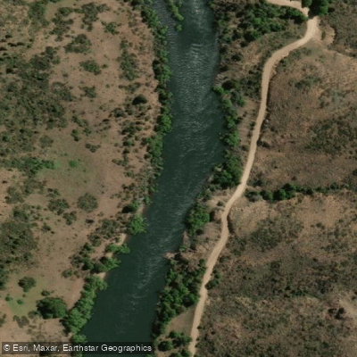
Río Aluminé
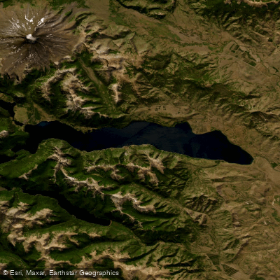
Lago Huechulafquen
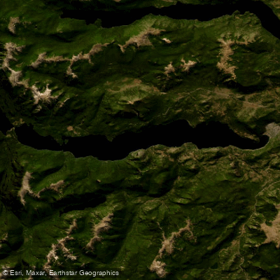
Lago Lácar
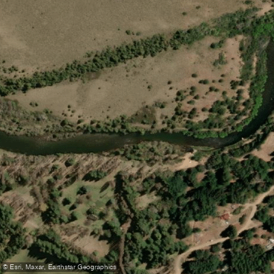
Río Quilquihue
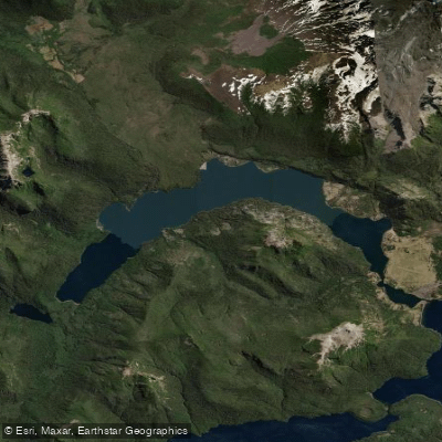
Lago Paimún
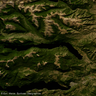
Lago Lolog
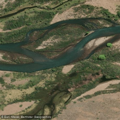
Río Caleufú
Explore Neuquén waters
Top paddling waters
No waters available right now.
Popular Cities
Loading popular cities...
Explore near Río Malleo

Smarter Paddling Starts in the App.
Paddleways gives you everything you need to plan smarter, paddle better, and own every trip from first launch to takeout.