Lago Lolog
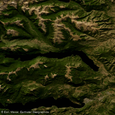
Lago Lolog
- Boat Ramps
- 1
- Access Points
- 0
- Campsites
- 3
Lago Lolog is a glacial lake situated in the department of Neuquén, Argentina, at coordinates 40°01′52″S 71°25′23″W, at a surface elevation of 899 meters above sea level. The lake reaches a maximum depth of 200 meters, giving it the deep, cold character typical of Patagonian glacial lakes. It lies in close proximity to both Junín de los Andes and San Martín de los Andes, and two roads connect it to those nearby cities, providing reasonable overland access for paddlers transporting watercraft.
The lake is well regarded as a fishing destination, with rainbow trout and brown trout being the primary species present. Boat-based excursions on Lago Lolog are offered commercially out of San Martín de los Andes, with private tours available during the summer season. These tours operate on vessels certified by the Argentine Coast Guard (PNA) and equipped with safety and VHF communication devices, indicating that navigation on the lake is subject to Argentine maritime authority oversight. Paddlers should be aware of this regulatory context when planning independent trips.
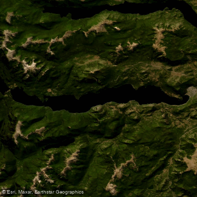
The surrounding landscape is consistent with the broader Patagonian lake district, and the lake shares the region with other notable water bodies including Lago Lácar. Commercially operated tours access beaches reachable only by water, which may be of interest to paddlers looking to explore the shoreline. The lake's glacial origin and considerable depth point to cold water temperatures year-round, a factor paddlers should account for when planning safety protocols. Tour operations are available only in the summer season, reflecting the general pattern of the region where austral summer (roughly December through March) is the primary window for water-based activity.
Water access, boat ramps & amenities
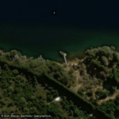
Learn how to get on Lago Lolog. Uncover great paddling access points, boat ramps, and all the facilities you need for an unforgettable day on the water. Some locations shown may border or include private property. Always check property boundaries and applicable regulations before visiting. PaddleWays's Public & Private Land layer can help you plan your access with confidence.
Paddle smarter with real-time insights
Whether you're en route and conditions shift or you're looking for the best spot based on current flows, we enable you to make informed decisions on the fly.







Neuquén licenses and regulations

Find Places to Paddle

Over 400,000 Places to Paddle
Every user gets free access to launch points, boat ramps, and public property parcels.


Water and weather conditions (10 day forecast)
See the best times to paddle Lago Lolog and check the forecast before you go.
No forecast data available.
Paddling near Lago Lolog
Lago Lácar
Río Chimehuín
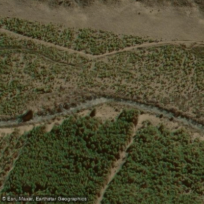
Río Currhué
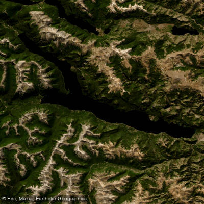
Lago Traful
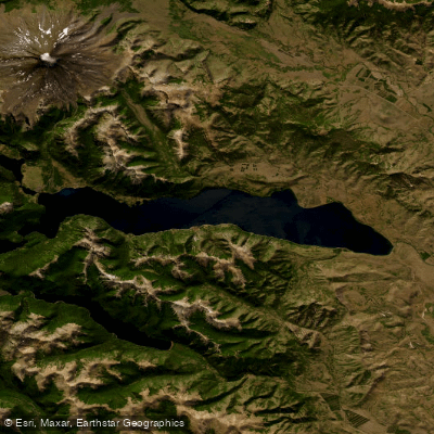
Lago Huechulafquen
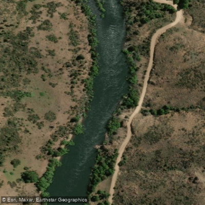
Río Aluminé
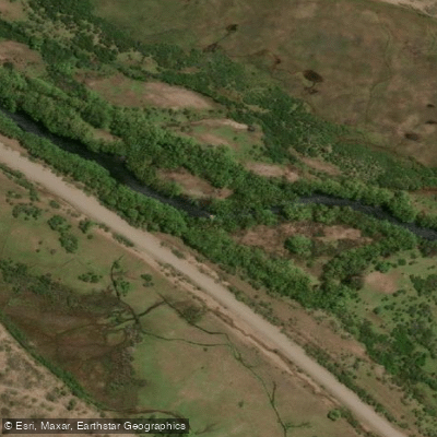
Río Malleo
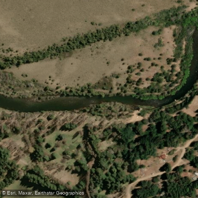
Río Quilquihue
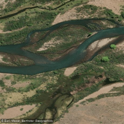
Río Caleufú
Explore Neuquén waters
Top paddling waters
No waters available right now.
Popular Cities
Loading popular cities...
Explore near Lago Lolog

Smarter Paddling Starts in the App.
Paddleways gives you everything you need to plan smarter, paddle better, and own every trip from first launch to takeout.