Río Ñirihuau
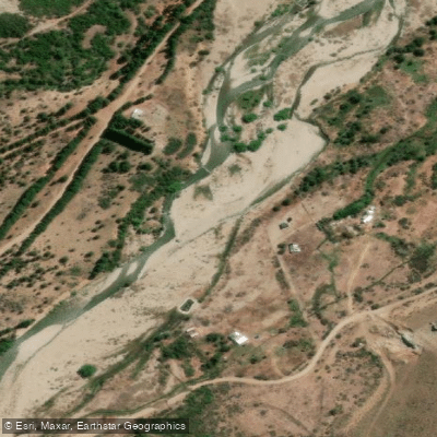
Río Ñirihuau
- Boat Ramps
- 0
- Access Points
- 0
- Campsites
- 3
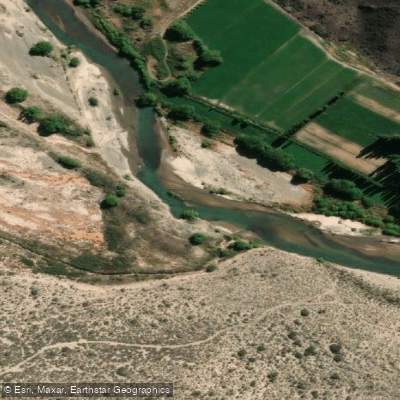
The Río Ñirihuau is located in the southwestern corner of Río Negro province, Argentina, flowing through the departments of San Carlos de Bariloche and Pilcaniyeu. The river originates from snowmelt on the Cordón del Ñirihuau, situated on the eastern flank of the Andean chain, and runs approximately 47–50 km before emptying into Lago Nahuel Huapi between the city of San Carlos de Bariloche and the town of Dina Huapi. Its drainage basin covers roughly 67,150 hectares, with an average width of 13.5 km. The name derives from the Mapuche language, meaning "ravine of the ñires" (a native southern beech tree).
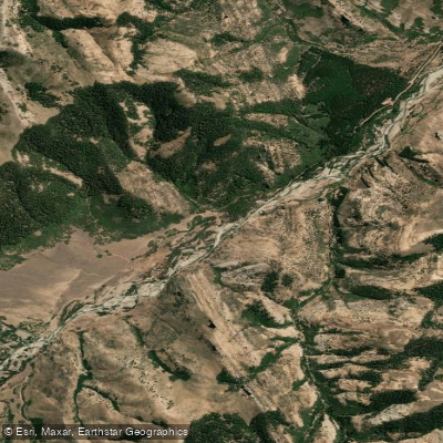
The river's headwaters lie within Parque Nacional Nahuel Huapi, and the upper course passes through protected national park territory. Paddlers traveling the river will observe a notable ecological transition from Andean forest to Patagonian steppe as they move downstream — a defining characteristic of the route.
The water is clear and well-oxygenated, supporting a diverse aquatic community. Benthic invertebrates including insect larvae, microcrustaceans, small snails, and worms inhabit the riverbed. Aerial insects such as dragonflies, mayflies, caddisflies, stoneflies, mosquitoes, and midges are active near the surface, particularly during spring and summer when they deposit eggs in the water. The river's fish fauna includes both native species and introduced salmonids. As the primary tributary entering the western portion of Lago Nahuel Huapi, it has historically attracted spawning salmonids and served as a productive fishing river, though fish quality and size have declined noticeably in recent decades due to overfishing and increased development along its banks.
Population growth along the lower river corridor has affected water quality and the overall riparian environment. Paddlers should be aware that the lower reaches pass through an urbanizing zone near Bariloche, which contrasts with the more pristine upper sections within the national park. Paddlers should consult local outfitters or park authorities in Bariloche before planning a trip to confirm current access points, put-in and take-out locations, and any paddling-specific restrictions.
Water access, boat ramps & amenities
Learn how to get on Río Ñirihuau. Uncover great paddling access points, boat ramps, and all the facilities you need for an unforgettable day on the water. Some locations shown may border or include private property. Always check property boundaries and applicable regulations before visiting. PaddleWays's Public & Private Land layer can help you plan your access with confidence.
Paddle smarter with real-time insights
Whether you're en route and conditions shift or you're looking for the best spot based on current flows, we enable you to make informed decisions on the fly.







Río Negro licenses and regulations

Find Places to Paddle

Over 400,000 Places to Paddle
Every user gets free access to launch points, boat ramps, and public property parcels.


Water and weather conditions (10 day forecast)
See the best times to paddle Río Ñirihuau and check the forecast before you go.
No forecast data available.
Paddling near Río Ñirihuau
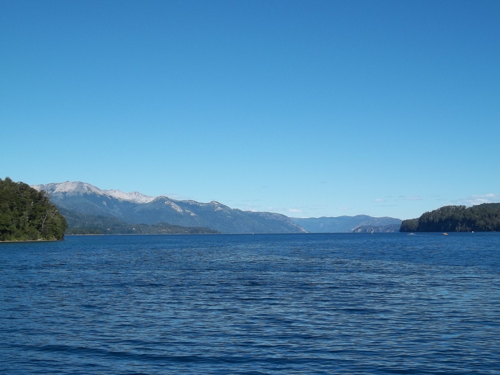
Lago Nahuel Huapi
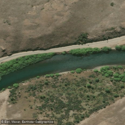
Río Limay
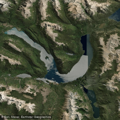
Lago Mascardi
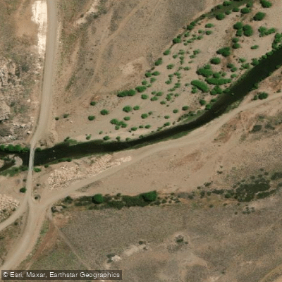
Río Pichi Leufú
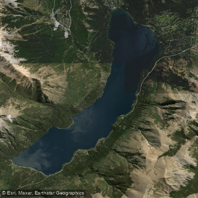
Lago Gutiérrez
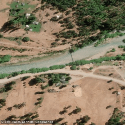
Río Manso
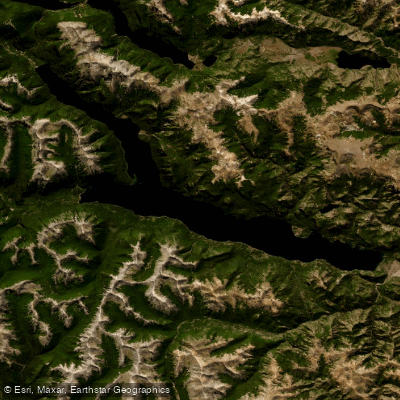
Lago Traful
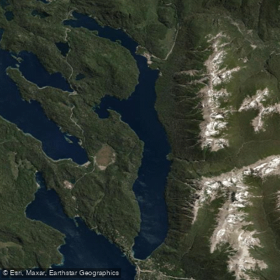
Lago Correntoso
Río Chubut
Explore Río Negro waters
Top paddling waters
No waters available right now.
Popular Cities
Loading popular cities...
Explore near Río Ñirihuau

Smarter Paddling Starts in the App.
Paddleways gives you everything you need to plan smarter, paddle better, and own every trip from first launch to takeout.