Río Pichi Leufú
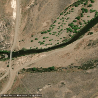
Río Pichi Leufú
- Boat Ramps
- 0
- Access Points
- 0
- Campsites
- 0
Río Pichi Leufú is a river in Río Negro province, Argentina, located roughly 60 minutes east of San Carlos de Bariloche by road. Its name derives from the Mapuche language, where "Pichi-leufu" translates to "small river" — an apt description of its character. The river runs more than 120 kilometers before emptying into the reservoir created by the Piedra del Águila dam.
The river's morphology consists of a continuous succession of riffles, pools, undercut banks, and calm stretches. It is generally shallow enough to wade throughout much of its length. The remote location and difficult access in certain sections have kept the corridor largely undisturbed; the primary human activity visible along the banks is occasional cattle and sheep herding by local gauchos.
Paddlers and visitors should be aware of a significant restricted zone: the area surrounding the Complejo Tecnológico Pilcaniyeu, operated by CONEA and designated as a national security area, is completely off-limits for both fishing and transit along its banks. This zone is marked with signage and extends from the Jhones estancia headquarters upstream to the railroad bridge.
The fishing regulations offer useful reference points for understanding the river's geography. The river is divided into distinct sections: from its headwaters to the railroad bridge, then from the railroad bridge to the bridge upstream of the Corralito locality, and finally from that bridge down to the Piedra del Águila reservoir. The fishing season runs from November 1 through late May or the end of May depending on the section, which gives a general indication of when the river is most accessible and conditions are favorable.
The river holds brown trout and rainbow trout, with fish typically ranging from 500 grams to 1.5 kilograms. Wildlife and natural features along the corridor reflect the broader Patagonian landscape, with the river's isolation contributing to its relatively undisturbed character. The river corridor has no developed paddling facilities or amenities.
Water access, boat ramps & amenities
Learn how to get on Río Pichi Leufú. Uncover great paddling access points, boat ramps, and all the facilities you need for an unforgettable day on the water. Some locations shown may border or include private property. Always check property boundaries and applicable regulations before visiting. PaddleWays's Public & Private Land layer can help you plan your access with confidence.
Paddle smarter with real-time insights
Whether you're en route and conditions shift or you're looking for the best spot based on current flows, we enable you to make informed decisions on the fly.







Río Negro licenses and regulations

Find Places to Paddle

Over 400,000 Places to Paddle
Every user gets free access to launch points, boat ramps, and public property parcels.


Water and weather conditions (10 day forecast)
See the best times to paddle Río Pichi Leufú and check the forecast before you go.
No forecast data available.
Paddling near Río Pichi Leufú
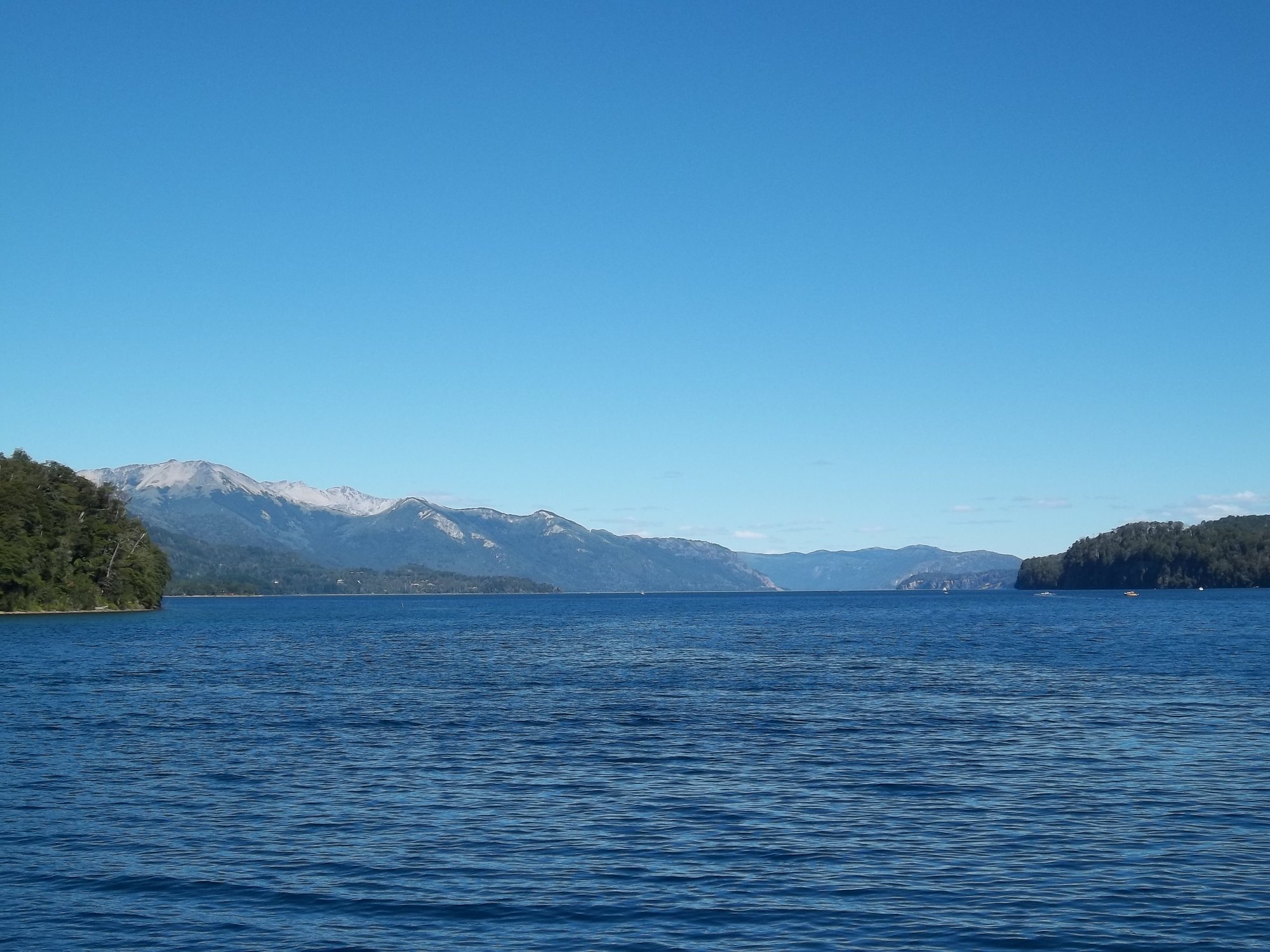
Lago Nahuel Huapi
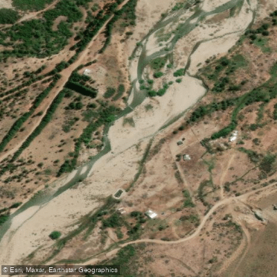
Río Ñirihuau
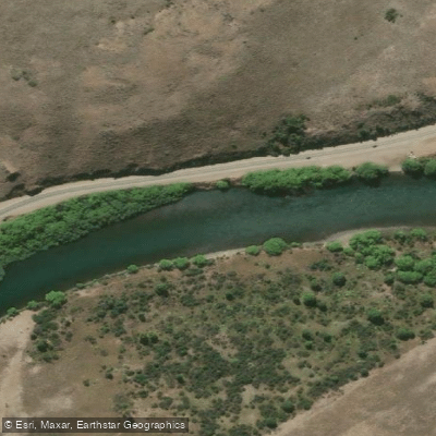
Río Limay
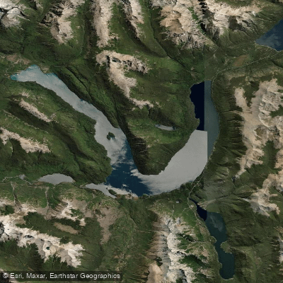
Lago Mascardi
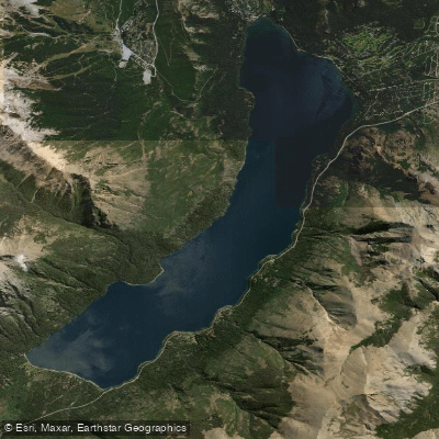
Lago Gutiérrez
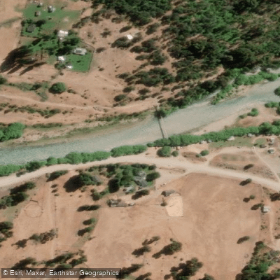
Río Manso
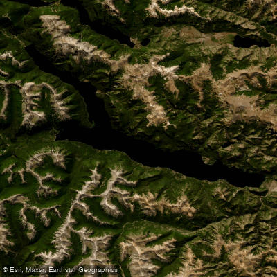
Lago Traful
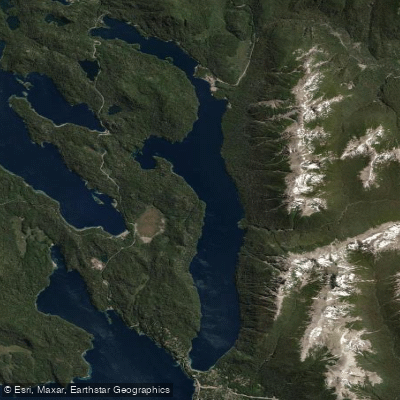
Lago Correntoso
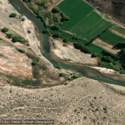
Río Chubut
Explore Río Negro waters
Top paddling waters
No waters available right now.
Popular Cities
Loading popular cities...
Explore near Río Pichi Leufú

Smarter Paddling Starts in the App.
Paddleways gives you everything you need to plan smarter, paddle better, and own every trip from first launch to takeout.