Río Chubut
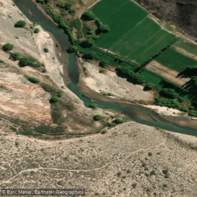
Río Chubut
- Boat Ramps
- 0
- Access Points
- 0
- Campsites
- 7
The Río Chubut flows eastward for approximately 800 kilometers across Chubut Province in Patagonia, Argentina, originating in the Andean foothills near the border of Río Negro Province and emptying into the Atlantic Ocean at Engaño Bay near Rawson. Its name derives from the Tehuelche word chupat, meaning "transparent," and Welsh settlers who colonized the region knew it as Afon Camwy, or "twisting river." The river is generally shallow, with water flow varying considerably between drought and flood conditions — from as little as 4 to as much as 400 cubic meters per second, with an average discharge around 60 cubic meters per second. The many tributaries and branches converge near the small town of Piedra Parada, where the terrain transitions to the flat steppe characteristic of Argentine Patagonia.
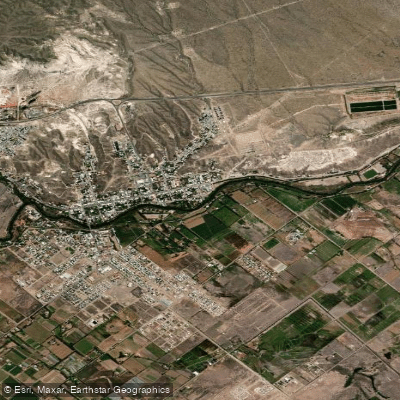
The upper reaches near Cholila, accessible from Esquel (roughly one hour from a typical take-out point) or Bariloche, offer a smaller, intimate river experience well suited to multi-day float trips. A 60-kilometer stretch crossing private estancia land sees very little paddling pressure due to the logistics required to access it, and three to four days is the typical commitment for this section. The lower valley, known as the Valle Inferior del Río Chubut (El Virch), provides a contrasting experience with riparian vegetation lining the banks and broad valley views.
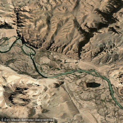
Near Los Altares, the river cuts through imposing rock walls in the Piedra Parada Valley, making it a visually striking section for kayak expeditions. Organized four-day kayak trips operating out of Trelew cover this area, combining paddling with hiking and wildlife observation in the Patagonian steppe. Near the town of Gaiman, shorter recreational kayak outings are available on Sundays through local clubs, running approximately 20 to 30 minutes per session.
The river supports a healthy population of rainbow and brown trout, particularly in the upper reaches, where fish in the 12–17 inch range are common and individuals up to 22 inches are caught regularly. The Patagonian steppe fauna and flora are notable throughout the river corridor. Multi-day trips require wilderness camping, and paddlers should plan for self-sufficiency, particularly on the more remote upper sections where private land limits access points.
Water access, boat ramps & amenities
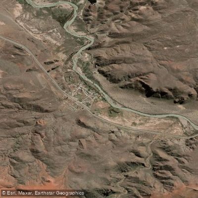
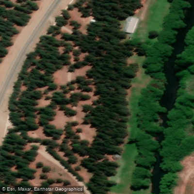
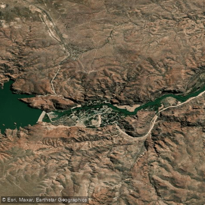
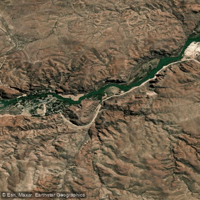
Learn how to get on Río Chubut. Uncover great paddling access points, boat ramps, and all the facilities you need for an unforgettable day on the water. Some locations shown may border or include private property. Always check property boundaries and applicable regulations before visiting. PaddleWays's Public & Private Land layer can help you plan your access with confidence.
Paddle smarter with real-time insights
Whether you're en route and conditions shift or you're looking for the best spot based on current flows, we enable you to make informed decisions on the fly.







Chubut licenses and regulations

Find Places to Paddle

Over 400,000 Places to Paddle
Every user gets free access to launch points, boat ramps, and public property parcels.


Water and weather conditions (10 day forecast)
See the best times to paddle Río Chubut and check the forecast before you go.
Chubut - Ameghino
All Flow Stations
Paddling near Río Chubut
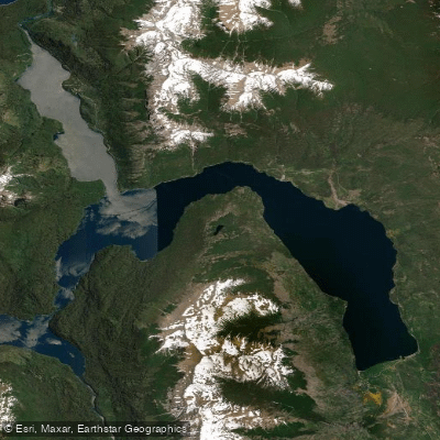
Lago Futalaufquen
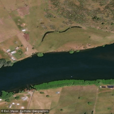
Río Grande o Futaleufú
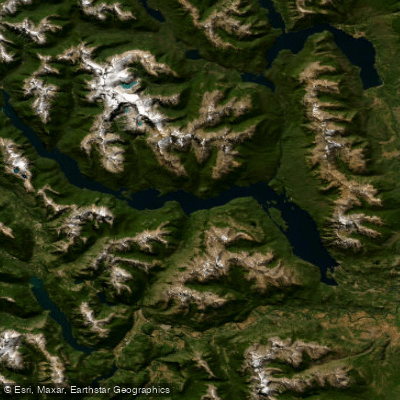
Embalse Amutui Quimei
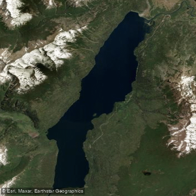
Lago Rivadavia
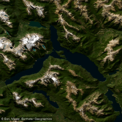
Lago Menéndez
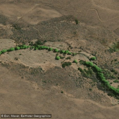
Arroyo Rodeo
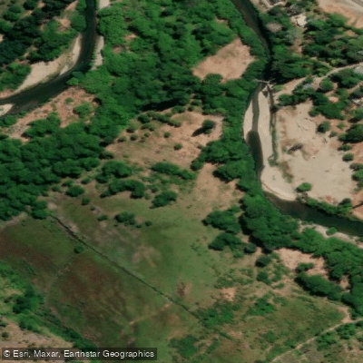
Río Epuyen
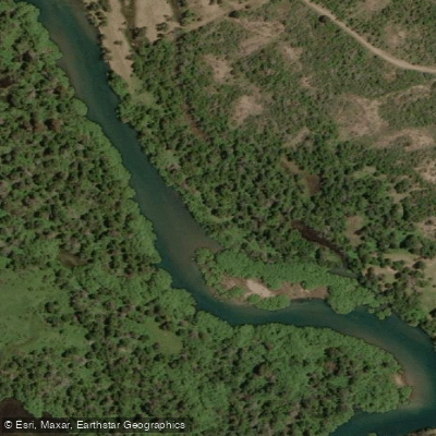
Río Carrilleufú
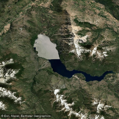
Lago Epuyén
Explore Chubut waters
Top paddling waters
No waters available right now.
Popular Cities
Loading popular cities...
Explore near Río Chubut
Access points
Nearby waters
More in Chubut

Smarter Paddling Starts in the App.
Paddleways gives you everything you need to plan smarter, paddle better, and own every trip from first launch to takeout.