Laguna del Desierto
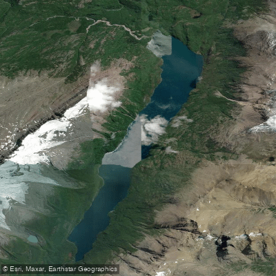
Laguna del Desierto
- Boat Ramps
- 0
- Access Points
- 0
- Campsites
- 1
Lago del Desierto (also referred to as Laguna del Desierto) is a glacial lake situated within Los Glaciares National Park in Santa Cruz Province, Argentina, at approximately 49°02'S, 72°51'W. The lake occupies a valley between the Martínez de Rozas Range to the east and the eastern edge of the Southern Patagonian Ice Field to the west, and drains glacial meltwater from the surrounding terrain. The water is notably turquoise and clear, with views of the Vespignani and Huemul glaciers visible from the water's surface, along with a striking perspective of Cerro FitzRoy.
The primary Punta Sur, the southern end of the lake, which is reachable by gravel road from El Chaltén approximately 90 minutes to two hours to the north. The northern tip, Punta Norte, serves as an Argentine border crossing on the route toward Villa O'Higgins in Chile; paddlers should be aware that photography and drone use are prohibited in that area. The lake is also used by tourist ferries, so paddlers should expect motorized vessel traffic on the water.
The standard guided kayak excursion departs from Punta Sur and routes toward Bahía Tranquila, a sheltered bay protected from wind and surrounded by native forest, with shallow, clear water. This leg takes roughly 40 minutes of paddling. Guided trips use sit-on-top double kayaks and are rated as easy in difficulty, with a total activity time of approximately 2.5 hours on the water. The surrounding Patagonian forest includes white oaks and Antarctic beeches, and the area supports wildlife including the Magellanic woodpecker and a distinctive orange fungus known locally as pan del indio.
Wind is a significant factor in Patagonia generally, and Bahía Tranquila is specifically noted for its protection from wind, implying that open sections of the lake can be exposed. Paddlers traveling independently should account for the gravel road conditions and the distance from El Chaltén when planning logistics. The lake has historical significance as the site of a territorial dispute between Argentina and Chile that was resolved by international arbitration in 1994.
Water access, boat ramps & amenities
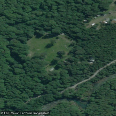
Learn how to get on Laguna del Desierto. Uncover great paddling access points, boat ramps, and all the facilities you need for an unforgettable day on the water. Some locations shown may border or include private property. Always check property boundaries and applicable regulations before visiting. PaddleWays's Public & Private Land layer can help you plan your access with confidence.
Paddle smarter with real-time insights
Whether you're en route and conditions shift or you're looking for the best spot based on current flows, we enable you to make informed decisions on the fly.







Santa Cruz licenses and regulations

Find Places to Paddle

Over 400,000 Places to Paddle
Every user gets free access to launch points, boat ramps, and public property parcels.


Water and weather conditions (10 day forecast)
See the best times to paddle Laguna del Desierto and check the forecast before you go.
No forecast data available.
Paddling near Laguna del Desierto
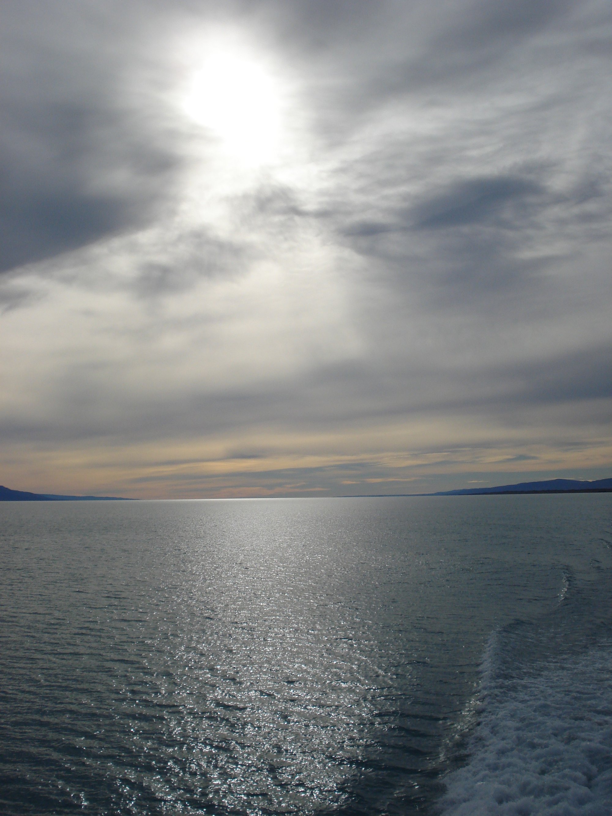
Lago Argentino
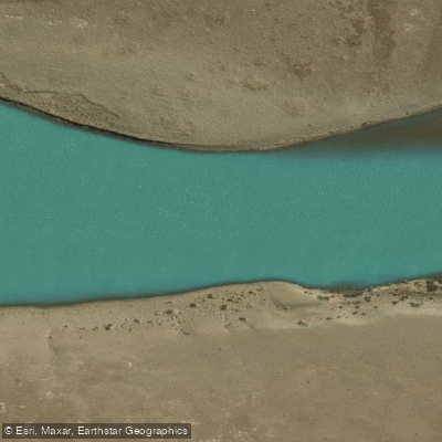
Río Santa Cruz
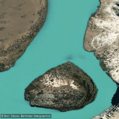
Río La Leona
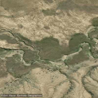
Arroyo El Turbio
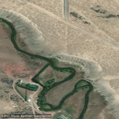
Río Vizcachas
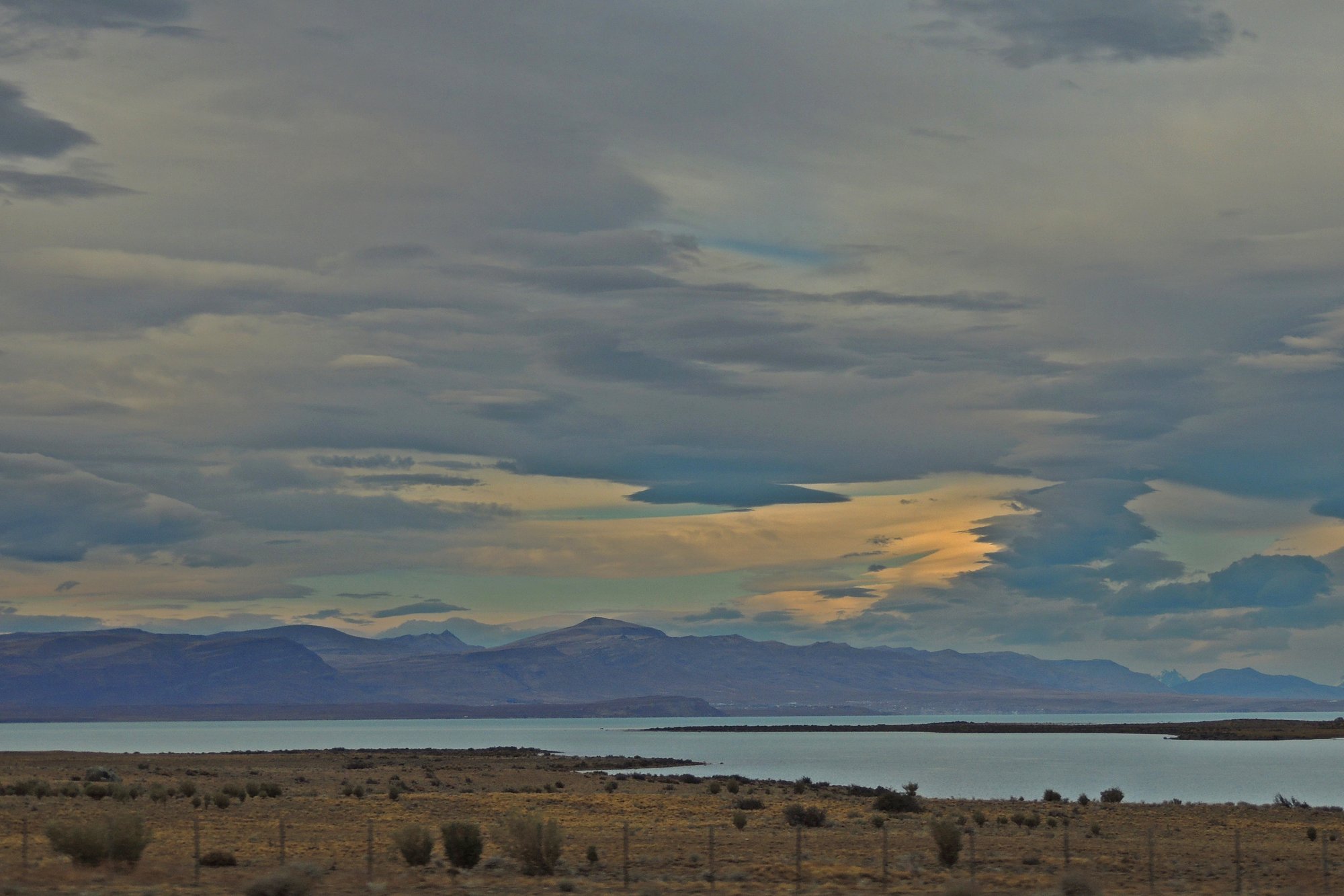
Lago Viedma
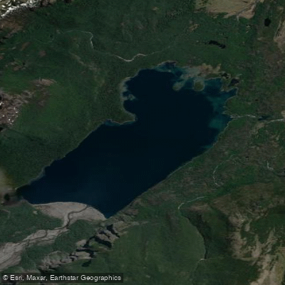
Lago Frías
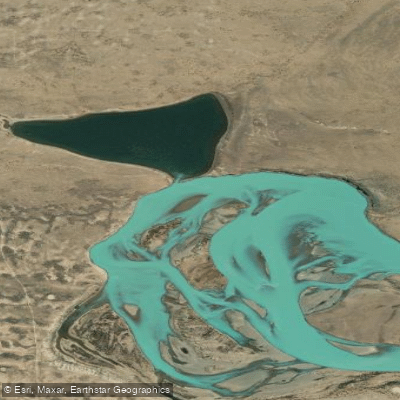
Laguna Grande
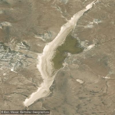
Laguna Larga
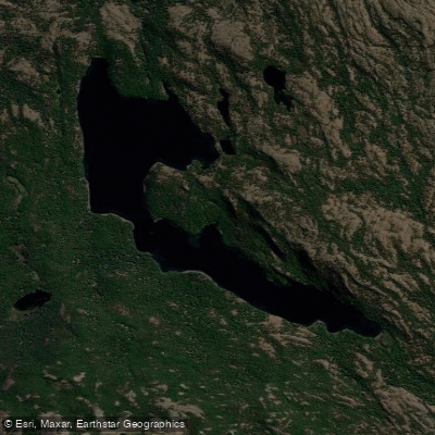
Laguna Larga
Explore Santa Cruz waters
Top paddling waters
No waters available right now.
Popular Cities
Loading popular cities...
Explore near Laguna del Desierto
Access points
Nearby waters
More in Santa Cruz

Smarter Paddling Starts in the App.
Paddleways gives you everything you need to plan smarter, paddle better, and own every trip from first launch to takeout.