Lago O'Higgins / Lago San Martín
Lago O'Higgins / Lago San Martín
- Boat Ramps
- 0
- Access Points
- 0
- Campsites
- 0
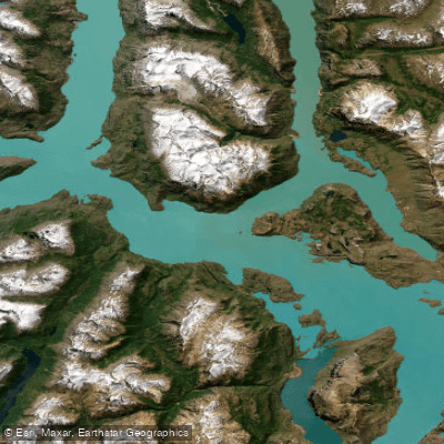
Lago O'Higgins / Lago San Martín straddles the border between Argentina and Chile in Patagonia, with the Argentine portion falling within the Lago Argentino Department of Santa Cruz Province. The lake covers a total surface area of 1,013 square kilometres, sits at an elevation of 250 metres above sea level, and has a shoreline length of approximately 525 kilometres. Roughly 459 square kilometres of the lake lie on the Argentine side. It is the deepest lake in the Americas, reaching a maximum depth of 836 metres near the O'Higgins Glacier, with an average depth of 68 metres. The primary inflow is the Mayer River, and the lake drains via the Pascua River.
The lake's most immediately striking characteristic is its intense milky turquoise color, produced by rock flour — finely ground glacial sediment — suspended throughout the water column. Viewed from above, the lake resolves into a series of elongated, finger-shaped flooded valleys. On the Argentine side, the arms known as Cancha Rayada, Chacabuco, Maypú, and La Lancha extend into the country's territory. This highly irregular geometry, combined with the surrounding Andean peaks and glaciers, defines the visual character of the paddling environment.
Wind is the dominant safety concern on this lake. Conditions are very dangerous due to extremely strong winds that are nearly constant across the region. The lake's size, depth, and remote location amplify the consequences of deteriorating weather. Paddlers should treat wind exposure on any of the lake's open arms as a serious hazard requiring careful route planning and conservative decision-making.
The lake is fed by several glaciers, including the imposing O'Higgins Glacier on the Chilean side. The surrounding landscape is characterized by volcanic rock formations, snow-covered peaks, and an almost complete absence of human infrastructure. There are no significant settlements on the Argentine shore. The nearest populated place is Villa O'Higgins on the Chilean side, which serves as the primary access point to the broader lake area via the Carretera Austral. The region supports nature-based activities including navigation, trekking, and sport fishing in tributary rivers. The extreme remoteness and consistently strong winds make this a destination suited only to paddlers with substantial expedition experience and appropriate safety equipment.
Water access, boat ramps & amenities
Learn how to get on Lago O'Higgins / Lago San Martín. Uncover great paddling access points, boat ramps, and all the facilities you need for an unforgettable day on the water. Some locations shown may border or include private property. Always check property boundaries and applicable regulations before visiting. PaddleWays's Public & Private Land layer can help you plan your access with confidence.
Paddle smarter with real-time insights
Whether you're en route and conditions shift or you're looking for the best spot based on current flows, we enable you to make informed decisions on the fly.







Santa Cruz licenses and regulations

Find Places to Paddle

Over 400,000 Places to Paddle
Every user gets free access to launch points, boat ramps, and public property parcels.


Water and weather conditions (10 day forecast)
See the best times to paddle Lago O'Higgins / Lago San Martín and check the forecast before you go.
Lago San Martín - Brazo Chacab
All Flow Stations
Paddling near Lago O'Higgins / Lago San Martín
Lago Argentino
Río Santa Cruz
Río La Leona
Arroyo El Turbio
Río Vizcachas
Lago Viedma
Lago Frías
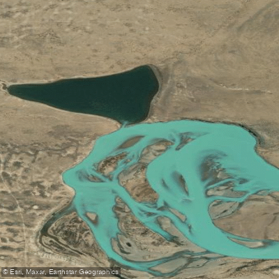
Laguna Grande
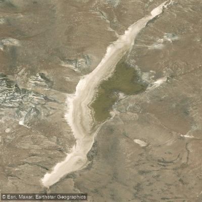
Laguna Larga
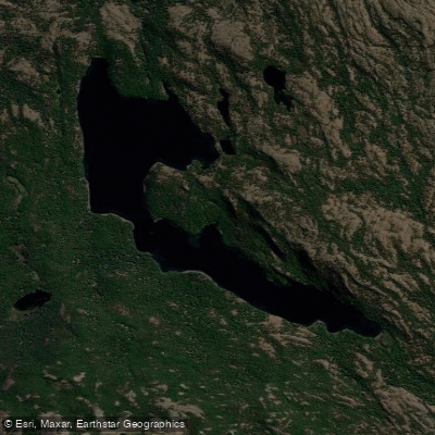
Laguna Larga
Explore Santa Cruz waters
Top paddling waters
No waters available right now.
Popular Cities
Loading popular cities...
Explore near Lago O'Higgins / Lago San Martín

Smarter Paddling Starts in the App.
Paddleways gives you everything you need to plan smarter, paddle better, and own every trip from first launch to takeout.