Lago Argentino
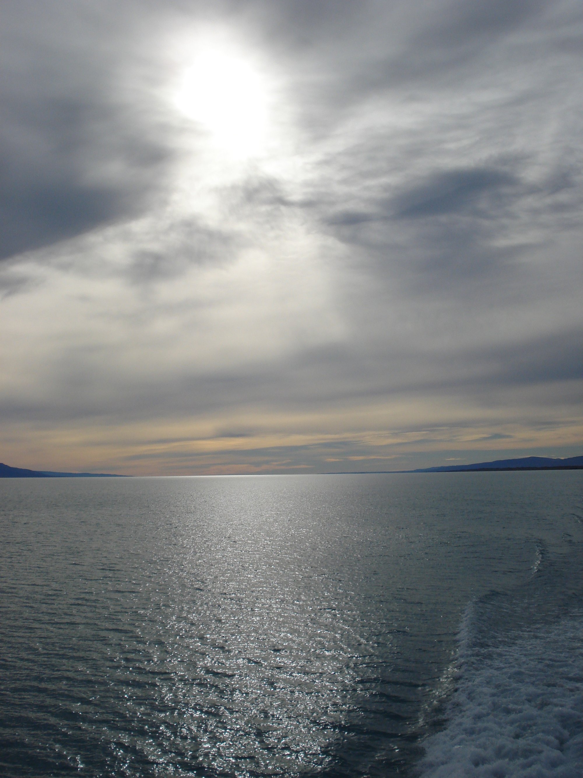
Lago Argentino
- Boat Ramps
- 0
- Access Points
- 0
- Campsites
- 1
Lago Argentino is the largest freshwater lake in Argentina, located in the Santa Cruz Province of Patagonia within Los Glaciares National Park, a UNESCO World Heritage Site. The lake covers a surface area of approximately 1,415 square kilometers, stretches 120 km in length and up to 32 km in width, with an average depth of 155 meters and a maximum depth of 719 meters. Its waters carry a distinctive turquoise hue derived from glacial meltwater. The lake sits at coordinates 50°13′S 72°25′W, and its deepest point actually reaches 541 meters below mean sea level.
The lake's shape is defined by several arms extending toward major glaciers. The south-southwestern arm terminates in front of the Perito Moreno Glacier, while the narrow north-northwestern arm reaches toward the Upsala Glacier — the largest glacier in the national park. The Spegazzini Glacier, with ice walls up to 135 meters high, is accessible along another arm. Primary inflows are the La Leona River and glacial meltwater from the western glaciers; the lake drains eastward via the Santa Cruz River. The drainage basin covers more than 17,000 square kilometers spanning both Argentina and Chile.
The main gateway town is El Calafate, situated on the lake's southern shore. Puerto Bandera, approximately 50 minutes from El Calafate, serves as the primary departure point for boat excursions into the glacier arms. Kayaking is available in the Canal de los Tempanos on the arm fronting the Perito Moreno Glacier, where paddlers navigate among calved icebergs in tandem kayaks. Groups are limited to 20 people per day for this activity. A separate kayaking tour operates on the La Leona River as a full-day excursion. The Mayo Area of the lake, accessible only by boat, provides access to the Cerro Mayo and Cerro Negro glaciers.
The presence of large floating icebergs and calving glacier walls are the primary hazards paddlers must account for. Calving events can generate sudden waves, and water temperatures in this glacially fed lake remain extremely cold year-round. Paddlers on guided tours are typically equipped with Gore-Tex dry suits, thermal suits, boots, and gloves. All paddling activity within Los Glaciares National Park is subject to park entry requirements and is conducted through guided commercial operators.
Water access, boat ramps & amenities
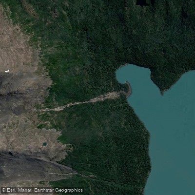
Learn how to get on Lago Argentino. Uncover great paddling access points, boat ramps, and all the facilities you need for an unforgettable day on the water. Some locations shown may border or include private property. Always check property boundaries and applicable regulations before visiting. PaddleWays's Public & Private Land layer can help you plan your access with confidence.
Paddle smarter with real-time insights
Whether you're en route and conditions shift or you're looking for the best spot based on current flows, we enable you to make informed decisions on the fly.







Santa Cruz licenses and regulations

Find Places to Paddle

Over 400,000 Places to Paddle
Every user gets free access to launch points, boat ramps, and public property parcels.


Water and weather conditions (10 day forecast)
See the best times to paddle Lago Argentino and check the forecast before you go.
PN - Los Glaciares
Paddling near Lago Argentino
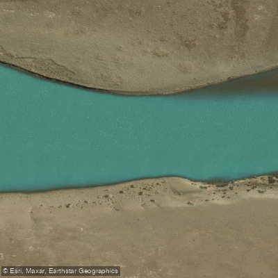
Río Santa Cruz
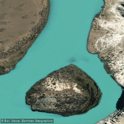
Río La Leona
Arroyo El Turbio
Río Vizcachas
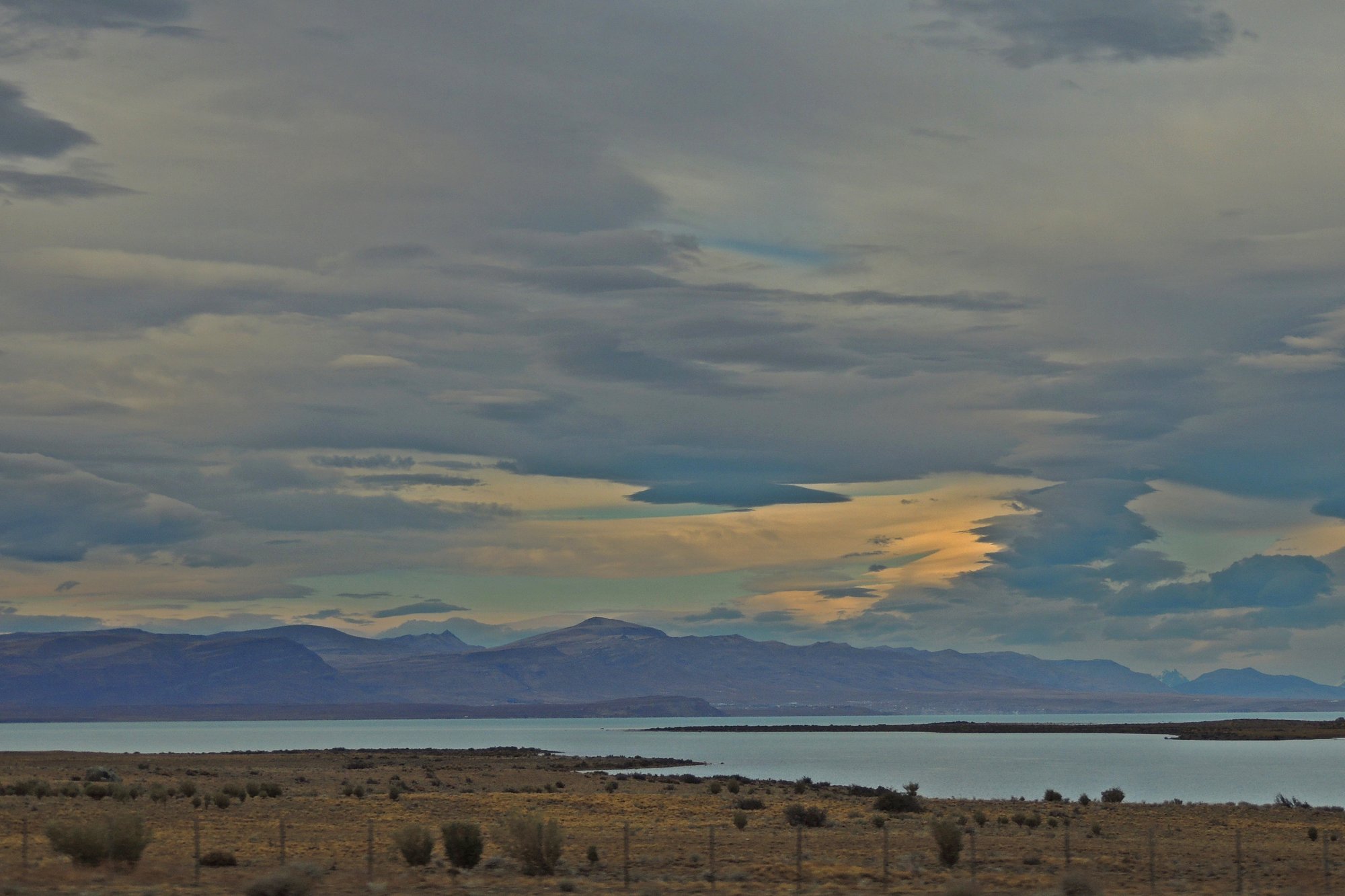
Lago Viedma
Lago Frías
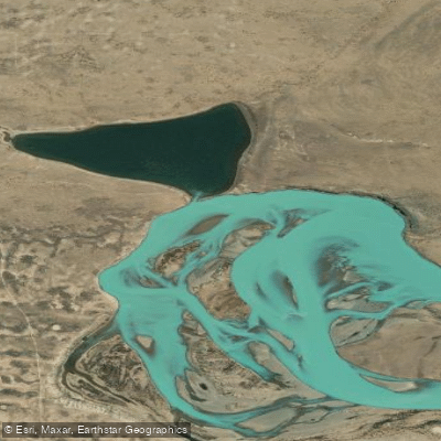
Laguna Grande
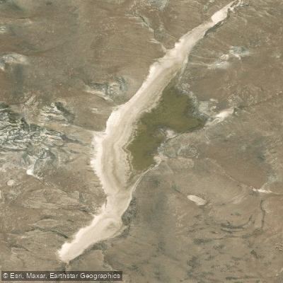
Laguna Larga
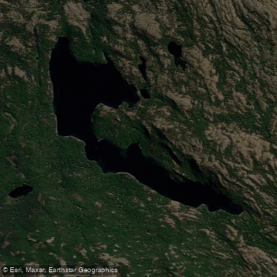
Laguna Larga
Explore Santa Cruz waters
Top paddling waters
No waters available right now.
Popular Cities
Loading popular cities...
Explore near Lago Argentino
Access points
Nearby waters
More in Santa Cruz

Smarter Paddling Starts in the App.
Paddleways gives you everything you need to plan smarter, paddle better, and own every trip from first launch to takeout.