Río Lules
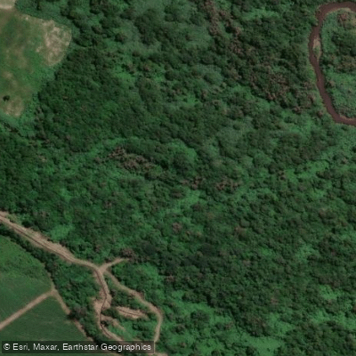
Río Lules
- Boat Ramps
- 0
- Access Points
- 0
- Campsites
- 0
The Río Lules in Tucumán, Argentina is a whitewater run rated Class II-III, offering a multi-hour paddling experience through a remote and densely vegetated canyon environment. The put-in is located at the triple confluence in the village of Potreros de las Tablas, approximately one hour's drive from the city of Tucumán. The run typically takes between two and a half to three hours to complete, with duration varying according to water level — higher flows generally produce a more dynamic experience.
The take-out is at a place called La Quebrada de Lules, near the town of Lules. This landmark is well known locally, so asking residents for directions is a reliable way to locate the finish point.
The most significant hazard on this run is a broken dam encountered a few kilometers into the descent. At low water levels this feature is manageable, but it requires mandatory scouting at high water. There is no exit from the canyon between the put-in and take-out, so paddlers should be prepared for a full commitment once on the water. The canyon walls are steep and the surrounding vegetation is dense jungle, characteristic of the yungas (subtropical montane forest) ecosystem of northwestern Argentina.
The corridor passes through wild terrain with steep walls and several attractive side creeks entering the main channel. The area around La Quebrada de Lules, located roughly 3 kilometers from San Isidro de Lules, is recognized as a notable natural feature within the Tucumán region and draws visitors interested in the surrounding forest environment.
Water level has a direct effect on the character of the run — more water increases the difficulty and intensity of the rapids. Paddlers should factor this into their planning when choosing when to visit.
Water access, boat ramps & amenities
Learn how to get on Río Lules. Uncover great paddling access points, boat ramps, and all the facilities you need for an unforgettable day on the water. Some locations shown may border or include private property. Always check property boundaries and applicable regulations before visiting. PaddleWays's Public & Private Land layer can help you plan your access with confidence.
Paddle smarter with real-time insights
Whether you're en route and conditions shift or you're looking for the best spot based on current flows, we enable you to make informed decisions on the fly.







Tucumán licenses and regulations

Find Places to Paddle

Over 400,000 Places to Paddle
Every user gets free access to launch points, boat ramps, and public property parcels.


Water and weather conditions (10 day forecast)
See the best times to paddle Río Lules and check the forecast before you go.
No forecast data available.
Paddling near Río Lules
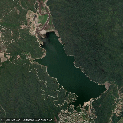
Embalse El Cadillal
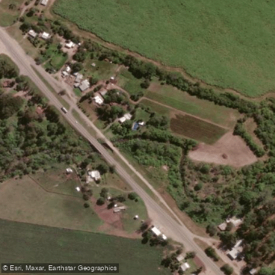
Arroyo Mista
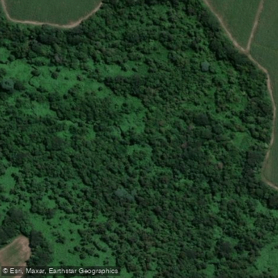
Arroyo Calimayo
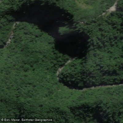
Río Los Sosa
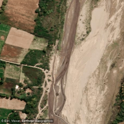
Río Santa María
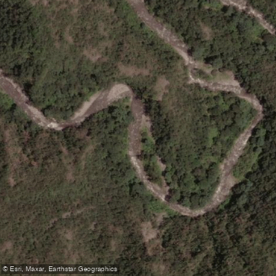
Río Ancajuli
Río Loro
Embalse La Angostura
Río Pueblo Viejo
Explore Tucumán waters
Top paddling waters
No waters available right now.
Popular Cities
Loading popular cities...
Explore near Río Lules

Smarter Paddling Starts in the App.
Paddleways gives you everything you need to plan smarter, paddle better, and own every trip from first launch to takeout.