Berembed Weir
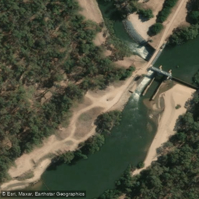
Berembed Weir
Berembed Weir sits on the Murrumbidgee River approximately 18 kilometres south-east of Grong Grong, off the Old Wagga Road.
Built in 1909–1910, the heritage-listed weir is notable for its off-take structure, which diverts irrigation water along Bundidgerry Creek and Lake Talbot to the Murrumbidgee Irrigation Area.
The site has a sandy beach and is popular for shore-based fishing, swimming, paddling, and picnicking. A camping area exists on the river's south side, though conditions have been affected by flood damage to the access road and inconsistent maintenance.
Visitors should pack out all rubbish and leave no trace.
Nearby points of interest
Find excellent paddling spots, easy access to boat ramps, and all the amenities you need for a memorable day. Your adventure starts here.
Water and weather conditions (10 day forecast)
Check the forecast at Berembed Weir before you go paddling.
No forecast data available.
Paddling near Berembed Weir
Murray River
Kiewa River
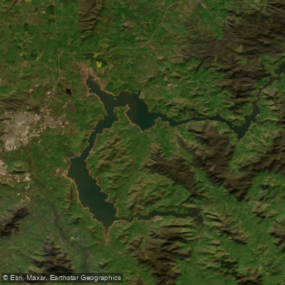
Lake Hume
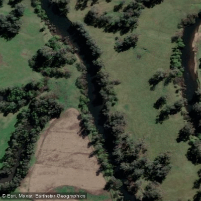
Mitta Mitta River
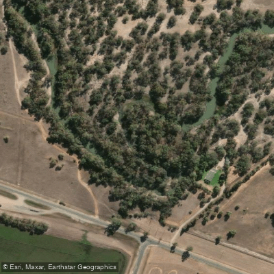
Billabong Creek
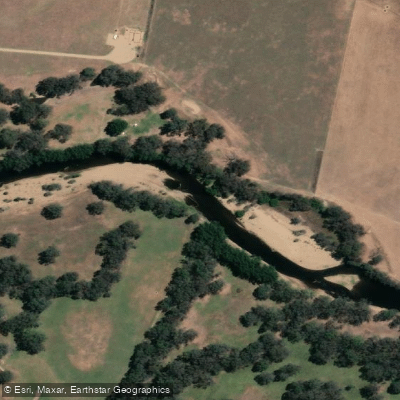
Ovens River
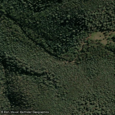
Buffalo Creek
Murray River
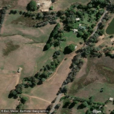
Back Creek
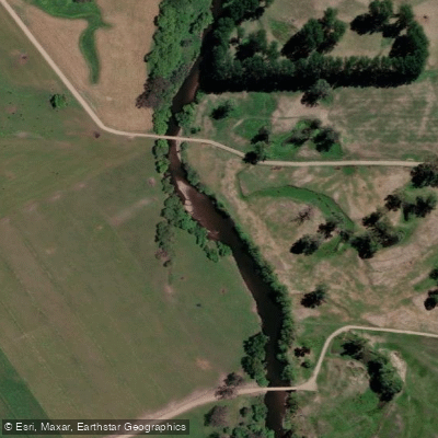
Murray River
New South Wales licenses and regulations
Explore New South Wales waters
Top paddling waters
No waters available right now.
Popular Cities
Loading popular cities...
Explore near Berembed Weir
Nearby spots
Nearby waters
More in New South Wales

Smarter Paddling Starts in the App.
Paddleways gives you everything you need to plan smarter, paddle better, and own every trip from first launch to takeout.