Botany Bay
- Saltwater
- Estuary
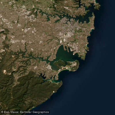
Botany Bay
- Saltwater
- Estuary
- Sq. miles
- 28
- Boat Ramps
- 4
- Access Points
- 0
- Campsites
- 0
Botany Bay is a large coastal estuary located just 12 kilometers south of Sydney, offering paddling opportunities for many skill levels. Its waters are often calm, making it a popular destination. The bay features several distinct areas for paddlers, including the Cooks River, Wolli Creek, and the open bay itself. A notable paddle trail runs along the Cooks River from Tempe to Carrs Bush Park. Paddlers can explore mangrove-lined sections along Wolli Creek or attempt beach landings on the shores of Botany Bay. The bay's broad, open reaches present a different challenge, with potential for wind and waves. For open water and surfski paddlers, Botany Bay provides routes sheltered from significant ocean swell, though paddlers should be aware of potential rebound waves near headlands and steep shorelines. Several specific routes are popular, including crossings from Dolls Point to La Perouse, Kurnell to the Cooks River mouth at Kyeemagh Boat Ramp, and runs from Tom Ugly's Bridge boat ramp to Kurnell. These routes often involve crossing major shipping channels, requiring careful attention to boat traffic. Key launch and take-out points include dedicated facilities like the Port Botany Foreshore Road boat ramp, which has four launch lanes with pontoons and trailer parking. Other access points include Carrs Bush Park, Kyeemagh Boat Ramp, Silver Beach at Kurnell, and Dolls Point. The Kamay Botany Bay National Park at Kurnell provides scenic cliff-top views and is a prime location for whale watching from land, with humpback whales passing close to shore during their northern migration from mid-May and again in October and November. The area holds historical significance as the site of first contact between the British and First Nations peoples.
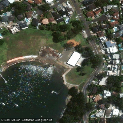
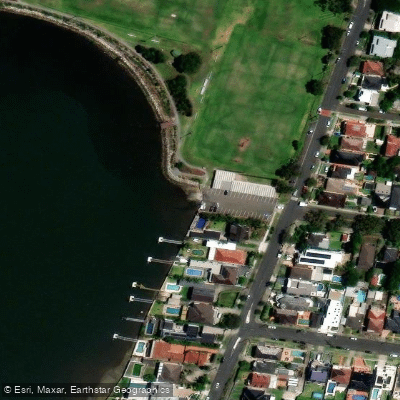
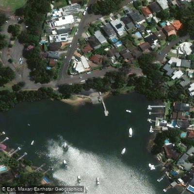
Water access, boat ramps & amenities
Learn how to get on Botany Bay. Uncover great paddling access points, boat ramps, and all the facilities you need for an unforgettable day on the water. Some locations shown may border or include private property. Always check property boundaries and applicable regulations before visiting. PaddleWays's Public & Private Land layer can help you plan your access with confidence.
Paddle smarter with real-time insights
Whether you're en route and conditions shift or you're looking for the best spot based on current flows, we enable you to make informed decisions on the fly.








Find Places to Paddle

Over 400,000 Places to Paddle
Every user gets free access to launch points, boat ramps, and public property parcels.


Tides, wind & water conditions (10 day forecast)
On open water, wind and tide matter as much as the weather. See the best times to paddle Botany Bay and check the marine forecast before you launch.
Loading tide predictions…
Paddling near Botany Bay
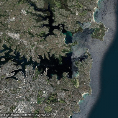
Sydney
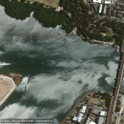
Parramatta River
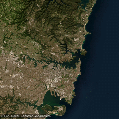
Port Jackson
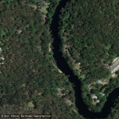
Lane Cove River
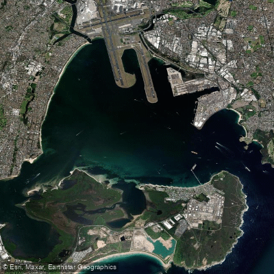
Botany
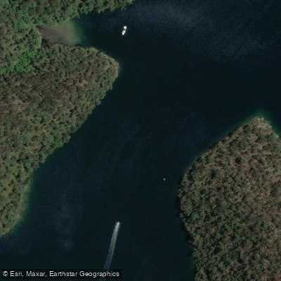
Cowan Creek

Georges River
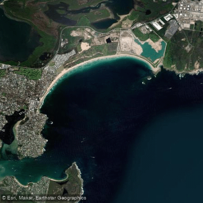
Bate Bay
Woronora River
Explore New South Wales waters
Top paddling waters
No waters available right now.
Popular Cities
Loading popular cities...
Explore near Botany Bay

Smarter Paddling Starts in the App.
Paddleways gives you everything you need to plan smarter, paddle better, and own every trip from first launch to takeout.