Woronora River
Woronora River
- Boat Ramps
- 2
- Access Points
- 0
- Campsites
- 0
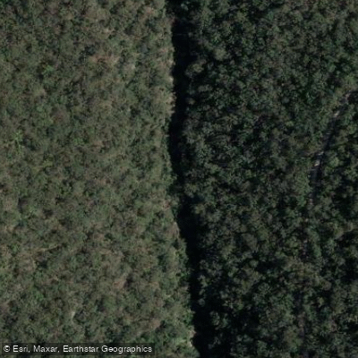
The Woronora River is a tidal waterway in the Sutherland Shire, approximately 27 kilometres south of Sydney's CBD, running from the Illawarra Escarpment to its junction with the Georges River at Como. The river sits within a densely forested valley flanked by Dharawal State Conservation Area and Heathcote National Park, and passes through the small riverside village of Woronora, where several houses are only accessible by water.
The navigable paddling stretch runs roughly 10 kilometres from the river's mouth at the Georges River to a group of rocks known as The Needles, which marks the tidal limit and the highest navigable point. Beyond The Needles there is a small waterfall and freshwater pools, though paddlers should exercise caution on the slippery rocks. The final 3.5 kilometres approaching The Needles are largely free of development, with tree-lined hills on both sides giving the river a remote character despite its proximity to the city. Loftus Creek (also known as Forbes Creek) enters the Woronora at Prince Edward Park and is worth exploring at high tide.
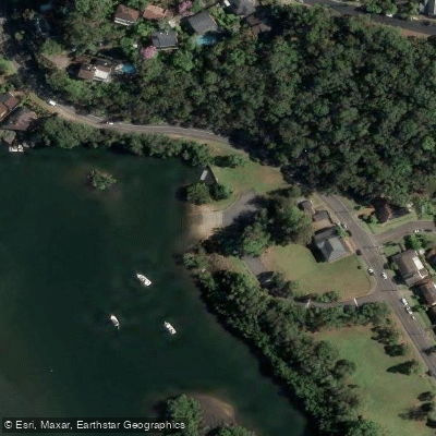
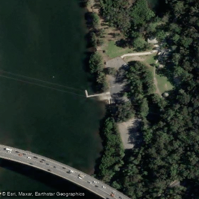
Common launch points include the Bonnet Bay boat ramp, Prince Edward Park (home to Bindaree Water Activities Centre), and a boat ramp at Burnum Burnum Sanctuary in Woronora. The Burnum Burnum ramp is a dual-lane concrete ramp with a floating pontoon, ample car and trailer parking, toilets, picnic areas, BBQ facilities, a playground, and walking trails; it can become busy on weekends. The Boatshed Woronora, located near the Woronora bridge, offers kayak and canoe hire as well as guided tours.
The river is tidal throughout its navigable length, so paddlers should plan their trips with tidal conditions in mind, as the current can work against you depending on direction and timing. Motorised craft also use the river, though traffic is lighter on early mornings. Wildlife along the river includes sea eagles, kookaburras, water dragons, cockatoos, and jumping fish. The riverbanks feature notable rock formations and remnants of stone walls from 1920s weekender residences.
The Woronora River sits on Dharawal Country. The name "Woronora" is said to derive from an Aboriginal word meaning "black rock," and the river's mouth was noted by explorers Bass and Flinders during their 1795 exploration of the Georges River.
Water access, boat ramps & amenities
Learn how to get on Woronora River. Uncover great paddling access points, boat ramps, and all the facilities you need for an unforgettable day on the water. Some locations shown may border or include private property. Always check property boundaries and applicable regulations before visiting. PaddleWays's Public & Private Land layer can help you plan your access with confidence.
Paddle smarter with real-time insights
Whether you're en route and conditions shift or you're looking for the best spot based on current flows, we enable you to make informed decisions on the fly.








Find Places to Paddle

Over 400,000 Places to Paddle
Every user gets free access to launch points, boat ramps, and public property parcels.


Water and weather conditions (10 day forecast)
See the best times to paddle Woronora River and check the forecast before you go.
Woronora Dam
All Flow Stations
Paddling near Woronora River
Sydney
Parramatta River
Port Jackson
Lane Cove River
Botany
Botany Bay
Cowan Creek

Georges River
Bate Bay
Explore New South Wales waters
Top paddling waters
No waters available right now.
Popular Cities
Loading popular cities...
Explore near Woronora River
Nearby waters
More in New South Wales

Smarter Paddling Starts in the App.
Paddleways gives you everything you need to plan smarter, paddle better, and own every trip from first launch to takeout.