Parramatta River
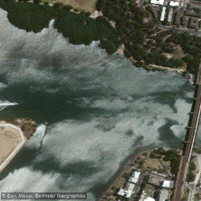
Parramatta River
- Boat Ramps
- 10
- Access Points
- 1
- Campsites
- 1
The Parramatta River flows westward from Sydney Harbour through suburban Sydney, offering a mix of urban waterfront scenery and bushland-fringed inlets. The river connects to Sydney Harbour and is navigable by paddlers along most of its accessible length, though an important exclusion zone exists upstream of Silverwater Bridge. This upper section is strictly reserved for Sydney Ferries and authorised service vessels — the channel is narrow, ferries cannot manoeuvre quickly to avoid other craft, and sun glare frequently creates hazardous visibility conditions for ferry captains. Paddlers wishing to see the upper reaches are advised to cycle rather than paddle that section.
Additional exclusion zones apply at Circular Quay, Garden Island, and several naval and maritime bases. These are generally marked with yellow clearance buoys, though a marine navigation chart provides more precise boundaries.
A launch facility for passive craft is available at Uhrs Point Reserve in Rhodes, on the southern foreshore of the river on the western side of the Ryde Bridge. This facility, which opened in February 2022, is accessible to the general public as well as to the Sea Scouts and Dragon Boat Club based there. The Abbotsford Sailing Club area is another noted put-in point, with paddling routes along the shores of Chiswick and Drummoyne being a commonly described option for those new to the river.
Bull sharks are present in the river, and paddlers have noted that dawn and dusk are the most active periods for marine life. Mid-morning or mid-afternoon is generally recommended for those less experienced or cautious about wildlife encounters. The Lane Cove River joins the Parramatta River near the western edge of Sydney Harbour, a confluence known to the Cammeraygal people as Mookaboola, meaning "meeting of waters."
The river passes through a range of environments, from busier stretches near the harbour to quieter, bushland-edged sections further upstream. Ferry wash is a factor to be aware of, particularly in the narrower reaches. Overall, the river is considered accessible to paddlers of varying experience levels, with the downstream section offering the most practical and legally unrestricted paddling.
Water access, boat ramps & amenities
Learn how to get on Parramatta River. Uncover great paddling access points, boat ramps, and all the facilities you need for an unforgettable day on the water. Some locations shown may border or include private property. Always check property boundaries and applicable regulations before visiting. PaddleWays's Public & Private Land layer can help you plan your access with confidence.
Paddle smarter with real-time insights
Whether you're en route and conditions shift or you're looking for the best spot based on current flows, we enable you to make informed decisions on the fly.








Find Places to Paddle

Over 400,000 Places to Paddle
Every user gets free access to launch points, boat ramps, and public property parcels.


Water and weather conditions (10 day forecast)
See the best times to paddle Parramatta River and check the forecast before you go.
No forecast data available.
Paddling near Parramatta River
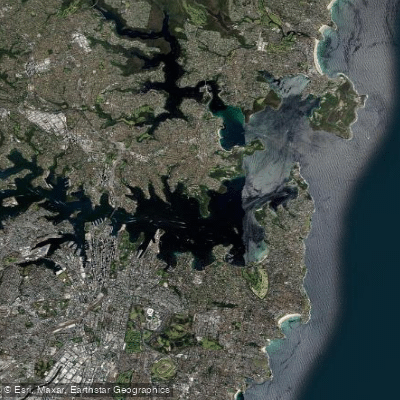
Sydney
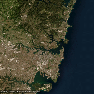
Port Jackson
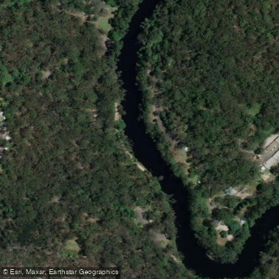
Lane Cove River
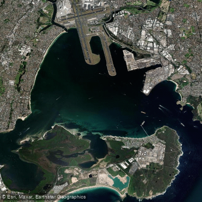
Botany
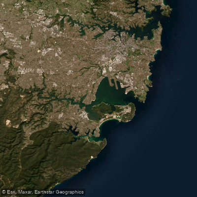
Botany Bay
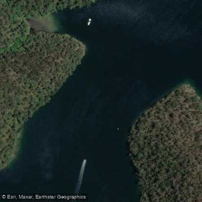
Cowan Creek

Georges River
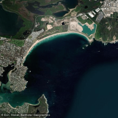
Bate Bay

Woronora River
Explore New South Wales waters
Top paddling waters
No waters available right now.
Popular Cities
Loading popular cities...
Explore near Parramatta River
Access points
Nearby waters
More in New South Wales

Smarter Paddling Starts in the App.
Paddleways gives you everything you need to plan smarter, paddle better, and own every trip from first launch to takeout.